Little Rock in Pulaski County, Arkansas — The American South (West South Central)
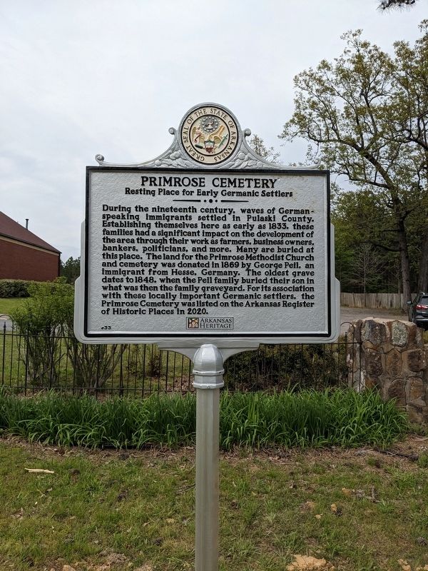
Primrose Cemetery
Resting Place for Early Germanic Settlers
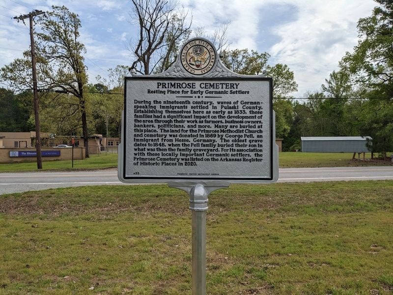
During the nineteenth century, waves of German-speaking immigrants settled in Pulaski County. Establishing themselves here as early as 1833, these families had a significant impact on the development of the area through their work as farmers, business owners, bankers, politicians, and more. Many are buried at this place. The land for the Primrose Methodist Church and cemetery was donated in 1869 by George Peil, an immigrant from Hesse, Germany. The oldest grave dates to 1848, when the Peil family buried their son in what was then the family graveyard. For its association with these locally important Germanic settlers, the Primrose Cemetery was listed on the Arkansas Register of Historic Places in 2020.
Erected 2023 by Arkansas Heritage and Primrose United Methodist Church. (Marker Number 33.)
Topics. This historical marker is listed in these topic lists: Cemeteries & Burial Sites • Immigration • Settlements & Settlers. A significant historical year for this entry is 1869.
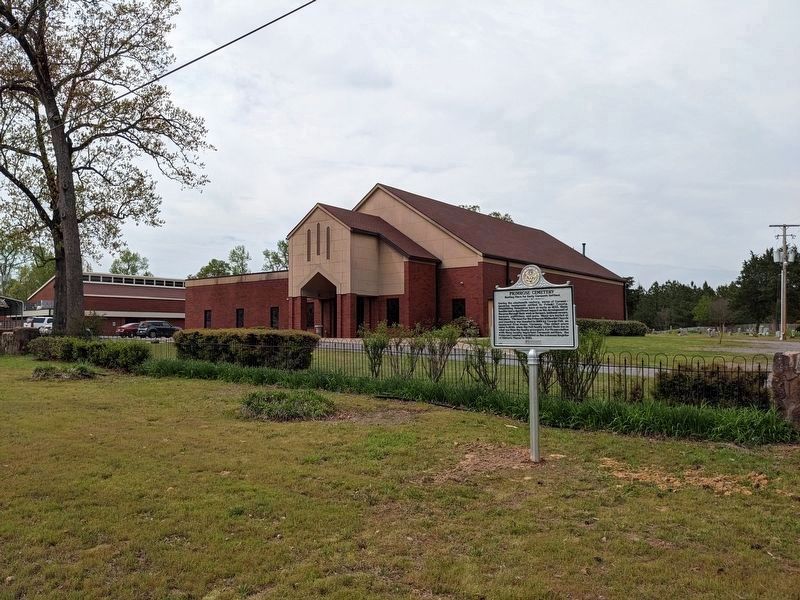
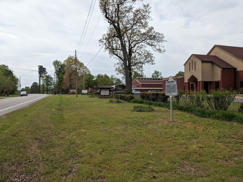
Location. 34° 39.539′ N, 92° 17.262′ W. Marker is in Little Rock, Arkansas, in Pulaski County. Marker is on Dixon Road (State Highway 338), on the right when traveling west. The marker is in front of the Primrose United Methodist Church by the east entry drive. Touch for map. Marker is at or near this postal address: 3006 W Dixon Rd, Little Rock AR 72206, United States of America. Touch for directions.
Other nearby markers. At least 8 other markers are within 5 miles of this marker, measured as the crow flies. Daisy Bates House (approx. 4.3 miles away); To the Memory of all Men and Women (approx. 4.8 miles away); A National Cemetery System (approx. 4.8 miles away); Frank Moore (approx. 4.8 miles away); Little Rock National Cemetery (approx. 4.8 miles away); Confederate Burial in the National Cemetery (approx. 4.8 miles away); In Memory of all who served on the Island of Oahu (approx. 4.8 miles away); Wilson-Mehaffy (Mehaffey) House (approx. 4.9 miles away). Touch for a list and map of all markers in Little Rock.
Credits. This page was last revised on April 14, 2023. It was originally submitted on April 14, 2023, by Ashley Sides of Little Rock, Arkansas. This page has been viewed 110 times since then and 16 times this year. Photos: 1, 2, 3, 4. submitted on April 14, 2023, by Ashley Sides of Little Rock, Arkansas. • J. Makali Bruton was the editor who published this page.


