Near George West in Live Oak County, Texas — The American South (West South Central)
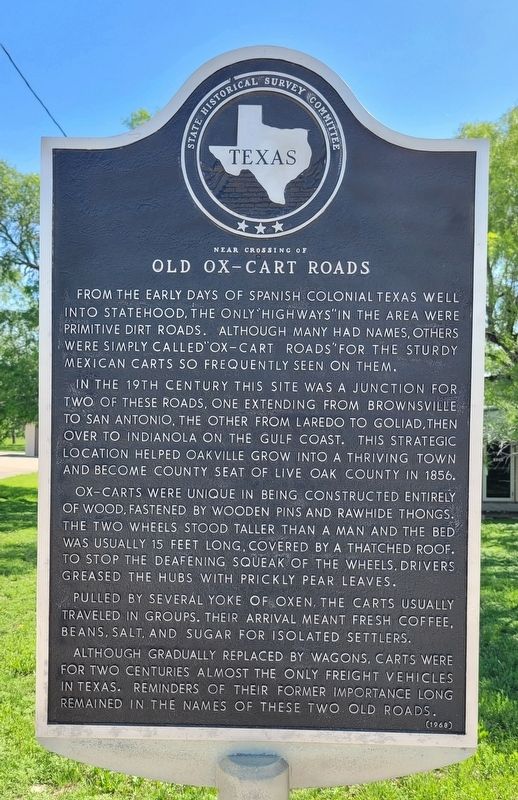
Near Crossing of Old Ox-Cart Roads
In the 19th century this site was a junction for two of these roads, one extending from Brownsville to San Antonio, the other from Laredo to Goliad, then over to Indianola on the Gulf Coast. This strategic location helped Oakville grow into a thriving town and become county seat of Live Oak County in 1856.
Ox-carts were unique in being constructed entirely of wood, fastened by wooden pins and rawhide thongs. The two wheels stood taller than a man and the bed was usually 15 feet long, covered by a thatched roof. To stop the deafening squeak of the wheels, drivers greased the hubs with prickly pear leaves.
Pulled by several yoke of oxen. The carts usually traveled in groups. Their arrival meant fresh coffee, beans, salt, and sugar for isolated settlers.
Although gradually replaced by wagons, carts were for two centuries almost the only freight vehicles in Texas. Reminders of their former importance long remained in the names of these two old roads.
Erected 1968 by State Historical Survey Committee. (Marker Number 3893.)
Topics. This historical marker is listed in these topic lists: Colonial Era • Industry & Commerce • Roads & Vehicles. A significant historical year for this entry is 1856.
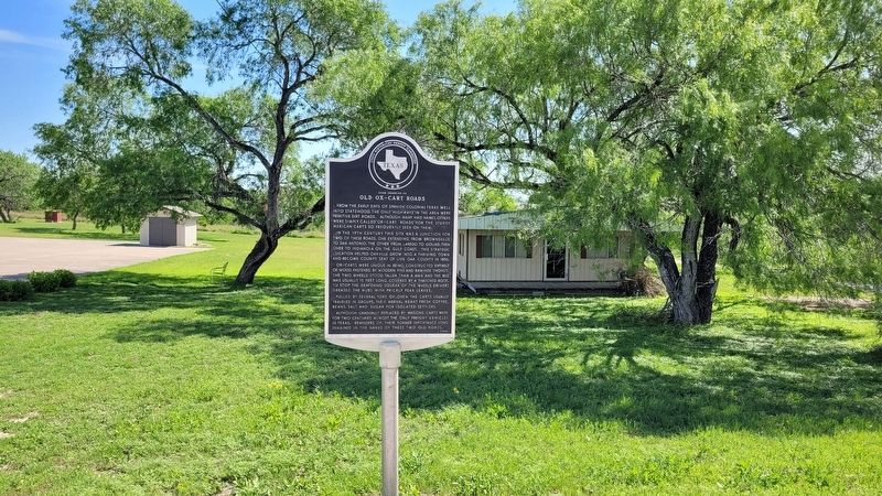
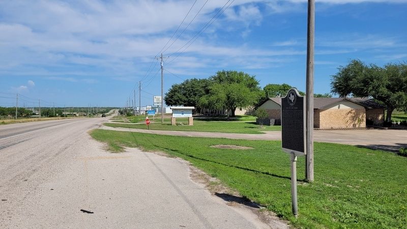
Location. 28° 22.112′ N, 98° 8.667′ W. Marker is near George West, Texas, in Live Oak County. Marker is on U.S. 281, 2.8 miles north of Milam Street, on the right when traveling north. The marker is located along the east side of the highway at a small pullout. Touch for map. Marker is at or near this postal address: 3458 US-281, George West TX 78022, United States of America. Touch for directions.
Other nearby markers. At least 8 other markers are within 3 miles of this marker, measured as the crow flies. St. George Catholic Church (approx. 2.9 miles away); Chauncy and Minnie Canfield House (approx. 2.9 miles away); George West First United Methodist Church (approx. 2.9 miles away); First Baptist Church George West (approx. 2.9 miles away); Live Oak County Courthouse (approx. 3 miles away); Don Victoriano Chapa - Don Prisciliano Chapa (approx. 3 miles away); Thelma Laura Pugh-Lindholm (approx. 3 miles away); City of George West (approx. 3 miles away). Touch for a list and map of all markers in George West.
Credits. This page was last revised on April 19, 2023. It was originally submitted on April 18, 2023, by James Hulse of Medina, Texas. This page has been viewed 134 times since then and 56 times this year. Photos: 1, 2, 3. submitted on April 19, 2023, by James Hulse of Medina, Texas.


