Salem in Essex County, Massachusetts — The American Northeast (New England)
Colonial Militia
Photographed by Craig Doda, April 8, 2023
1. Colonial Militia Marker
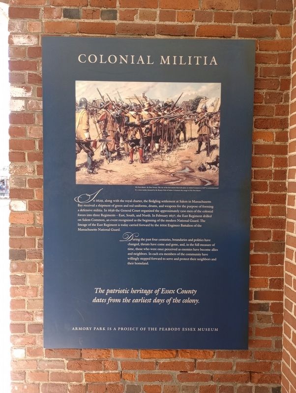
In 1629, along with the royal charter, the fledgling settlement at Salem in Massachusetts Bay received a shipment of green and red uniforms, drums, and weapons for the purpose of forming a defensive militia. In 1636 the General Court organized the approximately 1900 men of the colonial forces into three Regiments-East, South, and North. In February 1637, the East Regiment drilled on Salem Common, an event recognized as the beginning of the modern National Guard. The lineage of the East Regiment is today carried forward by the 10th Engineer Battalion of the Massachusetts National Guard.
During the past four centuries, boundaries and politics have changed, threats have come and gone, and, in the full measure of time, those who were once perceived as enemies have become allies and neighbors. In each era members of the community have willingly stepped forward to serve and protect their neighbors and their homeland.
The patriotic heritage of Essex County dates from the earliest days of the colony.
Erected by The Peabody Essex Museum.
Topics. This historical marker is listed in these topic lists: Colonial Era
this page online
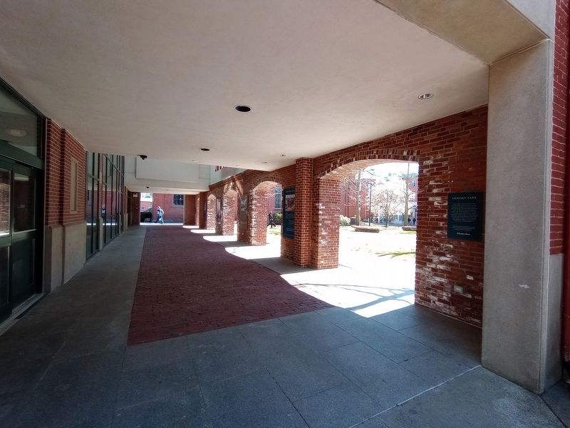
Location. 42° 31.349′ N, 70° 53.517′ W. Marker is in Salem, Massachusetts, in Essex County. It is at the intersection of New Liberty Street and Brown Street, on the left when traveling south on New Liberty Street. Located in the Salem Armory Regional Visitor Center. Touch for map. Marker is at or near this postal address: 2 New Liberty Street, Salem MA 01970, United States of America. Touch for directions.

Regionally, this marker is on Massachusetts’ North Shore, in Greater Boston, and in the Merrimack Valley. It is also in the American Northeast, in New England, and on the Eastern Seaboard. Globally, it is in the North Atlantic Region, North America, the Western Hemisphere, the Western World, and the Anglosphere. Historically, it finds itself in what was once one of the original Thirteen Colonies.
Other nearby markers. At least 8 other markers are within walking distance of this marker: Revolutionary War (here, next to this marker); Legacy of the Second Corps of Cadets (here, next to this marker); Armory Park (here, next to this marker); Second Corps of Cadets
Photographed by Craig Doda, April 8, 2023
2. Colonial Militia Marker

Photographed by Marc Posner, April 29, 2024
3. Colonial Militia Marker
Credits. This page was last revised on June 30, 2024. It was originally submitted on April 21, 2023, by Craig Doda of Napoleon, Ohio. This page has been viewed 485 times since then and 23 times this year. Photos: 1, 2. submitted on April 21, 2023, by Craig Doda of Napoleon, Ohio. 3. submitted on June 22, 2024, by Marc Posner of Somerville, Massachusetts. • Michael Herrick was the editor who published this page.
Editor’s want-list for this marker. A wide view photo of the marker and its surroundings. • Can you help?
