Dundas in Hamilton, Ontario — Central Canada (North America)
Dundas Street / La Rue Dundas
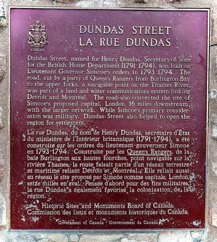
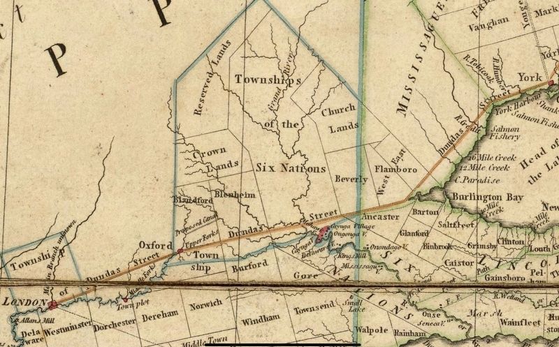
Dundas Street, named for Henry Dundas, Secretary of State for the British Home Department (1791-1794), was built on Lieutenant Governor Simcoe's orders in 1793-1794. The road, cut by a party of Queen's Rangers from Burlington Bay to the upper forks, a navigable point on the Thames River, was part of a land and water communications system linking Detroit and Montréal. The road also connected the site of Simcoe's proposed capital, London, 16 miles downstream, with the larger network. While Simcoe's primary consideration was military, Dundas Street also helped to open the region for settlement.
La rue Dundas, du nom de Henry Dundas, secrétaire d'État du ministère de l'Intérieur britannique (1791-1794), a été construite sur les ordres du lieutenant-gouverneur Simcoe en 1793-1794. Construite par les Queen's Rangers, de la bale Burlington aux hautes fourches, point navigable sur la rivière Thames, la route faisait partie d'un réseau terrestre et maritime reliant Détroit et Montréal. Elle reliait aussi au réseau le site proposé par Simcoe comme capitale, London, seize milles en aval. Pensée d'abord pour des fins militaires, la rue Dundas a également favorisé la colonisation de la région.
Erected by Historic Sites and Monuments Board of Canada.
Topics and series. This historical marker is listed in this topic list: Roads & Vehicles. In addition, it is included in the Canada, Historic Sites and Monuments Board series list. A significant historical year for this entry is 1793.
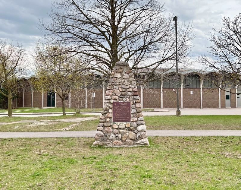
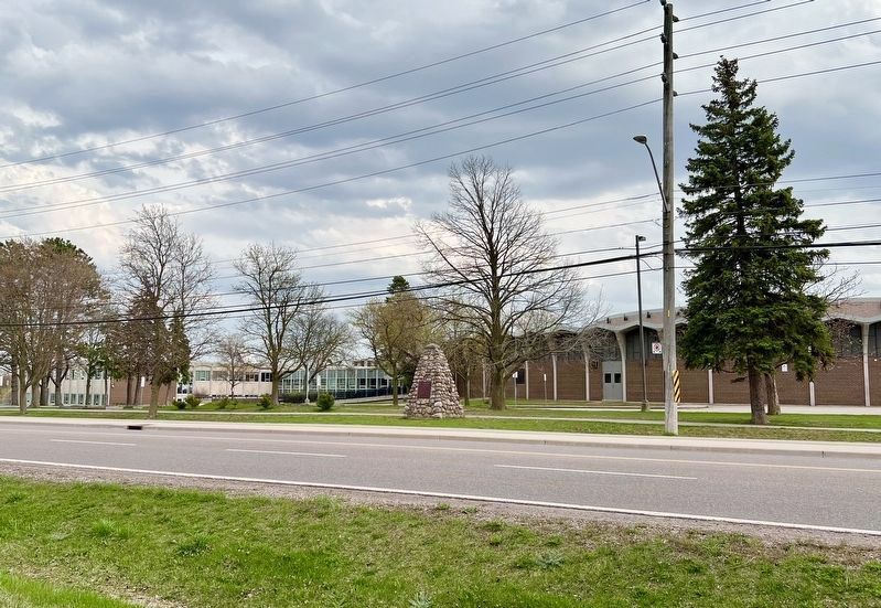
Location. 43° 15.51′ N, 79° 58.631′ W. Marker is in Hamilton, Ontario. It is in Dundas. Marker is on The Governor’s Road, 0.1 kilometers east of Bridelwood Drive, on the left when traveling west. The marker is in the historic town of Dundas, now part of the City of Hamilton. Touch for map. Marker is in this post office area: Hamilton ON L9H L9H, Canada. Touch for directions.
Other nearby markers. At least 8 other markers are within 3 kilometers of this marker, measured as the crow flies. 102nd Wentworth Field Battery, Royal Canadian Artillery (approx. 1.5 kilometers away); Dundas Cenotaph (approx. 1.5 kilometers away); “Dundas Mills” (approx. 1.8 kilometers away); The Dundas Town Hall (approx. 2.1 kilometers away); Sir William Osler in Canada (approx. 2.6 kilometers away); Dundas Driving Park: A Focal Point In Dundas For Over A Century (approx. 2.6 kilometers away); Hermitage Estate History (approx. 2.7 kilometers away); The Hermitage (approx. 2.8 kilometers away). Touch for a list and map of all markers in Hamilton.
Also see . . . The Complicated History of Dundas Street. Article by geographer Sean Marshall
Dundas Street was established as a military supply route by order of John Graves Simcoe, the first British governor of Upper Canada. At first, it was surveyed and cleared in 1794 and 1795 between Cootes Paradise (at the very end of Lake Ontario, beyond Burlington Bay) and the Upper Forks of the Thames River, at what is now Woodstock. From there, small boats could be used to travel downriver to London and to Lake St. Clair.(Submitted on April 22, 2023, by Tim Boyd of Hamilton, Ontario.)
Credits. This page was last revised on April 22, 2023. It was originally submitted on April 22, 2023, by Tim Boyd of Hamilton, Ontario. This page has been viewed 66 times since then and 8 times this year. Photos: 1, 2, 3, 4. submitted on April 22, 2023, by Tim Boyd of Hamilton, Ontario. • Andrew Ruppenstein was the editor who published this page.


