Near Blue Springs in Barbour County, Alabama — The American South (East South Central)
Bethel Primitive Baptist Church
Photographed by James L.Whitman, April 22, 2023
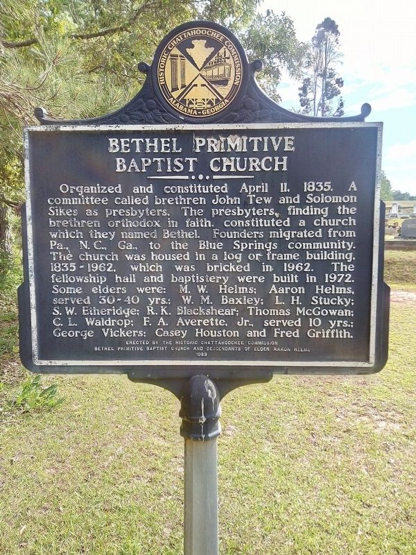
1. Bethel Primitive Baptist Church Marker
Erected 1989 by The Historic Chattahoochee Commission, Bethel Primitive Baptist Church and Descendants of Elder Aaron Helms.
Topics. This historical marker is listed in these topic lists: Cemeteries & Burial Sites • Religion & Religious Structures • Settlements & Settlers. A significant historical date for this entry is April 11, 1835.
Location. 31° 38.719′ N, 85° 29.058′ W. Marker is near Blue Springs, Alabama, in Barbour County. It is on John Scott Road near
this page online

Regionally, this marker is in the American South, specifically in the Deep South, in the Black Belt, and in the Wiregrass. Globally, it is in North America, a Gulf of Mexico state, the Western Hemisphere, the Western World, and the Anglosphere. Historically, it finds itself in what was once the territory of the Mississippian Culture, one of the Confederate States of America, and the Antebellum South.
Other nearby markers. At least 8 other markers are within 9 miles of this marker, measured as the crow flies: Blue Springs School 1920-1969 (approx. 1.1 miles away); Pea River Electric Membership Corporation (approx. 1.8 miles away); Peniel Baptist Church (approx. 2½ miles away); Salem Baptist Church (approx. 5.1 miles away); Morgan Baptist Church / Church Pastors (approx. 6.4 miles away); Mount Enon Primitive Baptist Church (approx. 6.6 miles away); Union Presbyterian Church / Founders and Early Pastors (approx.
Photographed by James L.Whitman, April 22, 2023
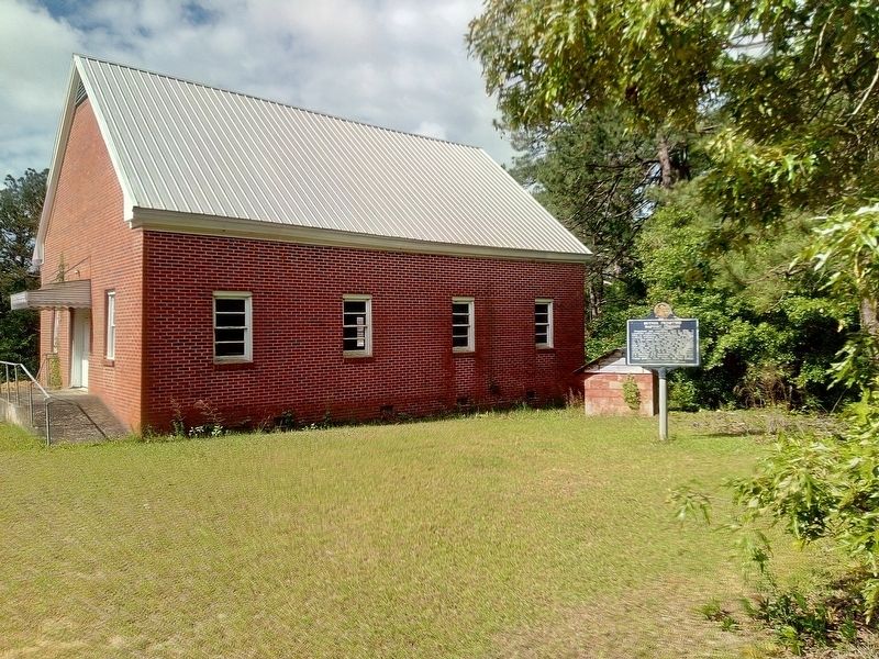
2. Bethel Primitive Baptist Church Marker
Photographed by James L.Whitman, April 22, 2023
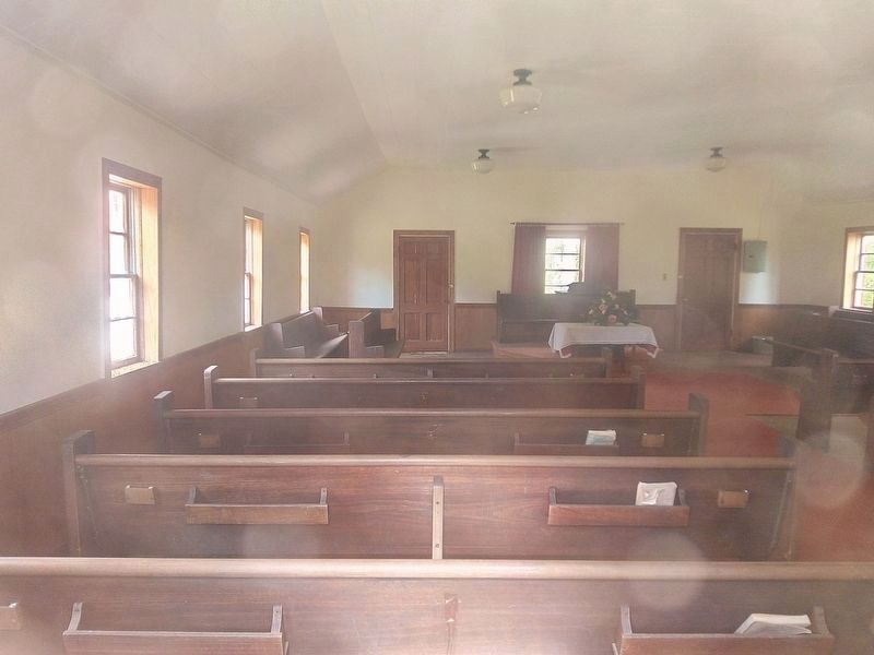
3. Bethel Primitive Baptist Church
Credits. This page was last revised on April 24, 2023. It was originally submitted on April 22, 2023, by James L.Whitman of Eufaula, Alabama. This page has been viewed 858 times since then and 93 times this year. Photos: 1, 2, 3. submitted on April 22, 2023, by James L.Whitman of Eufaula, Alabama. • James Hulse was the editor who published this page.
