Sturgis in St. Joseph County, Michigan — The American Midwest (Great Lakes)
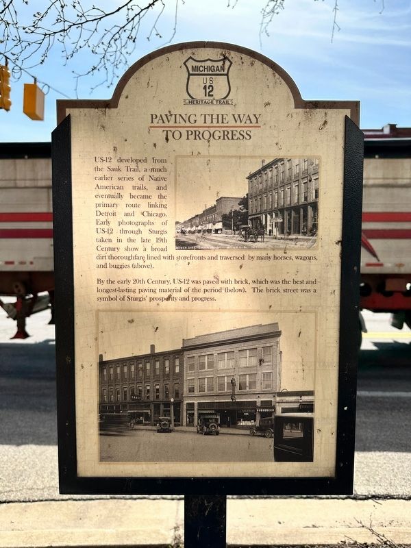
Paving the Way to Progress
Michigan US12 Heritage Trail
US-12 developed from the Sauk Trail, a much earlier series of Native American trails, and eventually became the primary route linking Detroit and Chicago. Early photographs of US-12 through Sturgis taken in the late 19th Century show a broad dirt thoroughfare lined with storefronts and traversed by many horses, wagons, and buggies (above).
By the early 20th Century, US-12 was paved with brick, which was the best and longest-lasting paving material of the period (below). The brick street was a symbol of Sturgis' prosperity and progress.
Topics. This historical marker is listed in these topic lists: Native Americans • Roads & Vehicles • Settlements & Settlers.
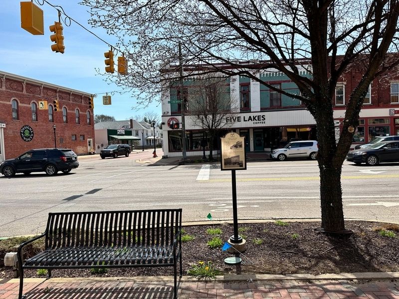
Location. 41° 47.962′ N, 85° 25.137′ W. Marker is in Sturgis, Michigan, in St. Joseph County. Marker is at the intersection of West Chicago Road (U.S. 12) and North Nottawa Street (State Road 66), on the right when traveling west on West Chicago Road. Touch for map. Marker is at or near this postal address: 105 West Chicago Road, Sturgis MI 49091, United States of America. Touch for directions.
Other nearby markers. At least 8 other markers are within walking distance of this marker. 103 W. Chicago (here, next to this marker); 101 W. Chicago Rd. (a few steps from this marker); 100 - 102 W. Chicago (a few steps from this marker); 100 E. Chicago (within shouting distance of this marker); The Heart of Sturgis (about 400 feet away, measured in a direct line); Free Church Park (about 400 feet away); 107 W. West Street (about 700 feet away); Sturges-Young Auditorium (approx. 0.2 miles away). Touch for a list and map of all markers in Sturgis.
Also see . . . US Route 12 in Michigan. Excerpt
US Highway 12 (US 12) is an east–west United States Numbered Highway that runs from Aberdeen, Washington, to Detroit, Michigan. In Michigan, it runs for 210 miles (340 km) between New Buffalo and Detroit as a state trunkline highway and Pure Michigan Byway.(Submitted on April 23, 2023, by J.T. Lambrou of New Boston, Michigan.)
Credits. This page was last revised on April 23, 2023. It was originally submitted on April 23, 2023, by J.T. Lambrou of New Boston, Michigan. This page has been viewed 78 times since then and 37 times this year. Photos: 1, 2. submitted on April 23, 2023, by J.T. Lambrou of New Boston, Michigan. • J. Makali Bruton was the editor who published this page.

