Kamay in Wichita County, Texas — The American South (West South Central)
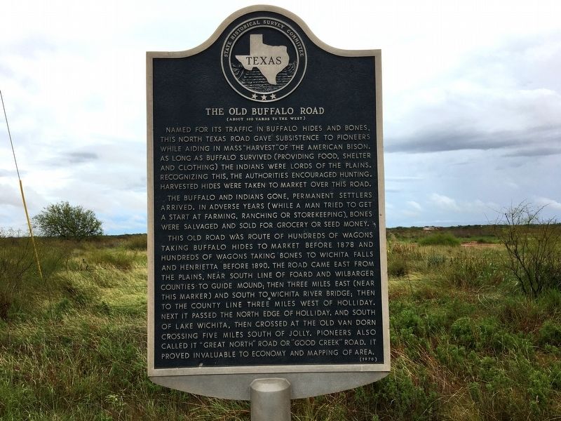
The Old Buffalo Road
(About 100 yards to the west)
The buffalo and Indians gone, permanent settlers arrived. In adverse years (while a man tried to get a start at farming, ranching or storekeeping), bones were salvaged and sold for grocery or seed money.
This old road was route of hundreds of wagons taking buffalo hides to market before 1878 and hundreds of wagons taking bones to Wichita Falls and Henrietta before 1890. The road came east from the Plains, near south line of Foard and Wilbarger counties to Guide Mound, then three miles east (near this marker) and south to Wichita River bridge; then to the county line three miles west of Holliday, and south of Lake Wichita, then crossed at the old Van Dorn Crossing five miles south of Jolly. Pioneers also called it “Great North” Road or “Good Creek” Road. It proved invaluable to economy and mapping of area.
Erected 1970 by State Historical Survey Committee. (Marker Number 3696.)
Topics. This historical marker is listed in these topic lists: Animals • Native Americans • Roads & Vehicles. A significant historical year for this entry is 1878.
Location. 33° 52.337′ N, 98° 50.349′ W. Marker is in Kamay, Texas, in Wichita County. Marker is on State Highway 25 (State Highway 25) one mile north of State Highway 258, on the right when traveling north. Touch for map. Marker is in this post office area: Electra TX 76360, United States of America. Touch for directions.
Other nearby markers. At least 7 other markers are within 14 miles of this marker, measured as the crow flies. Maggie and Herod "Pap" Simpson (approx. 9.2 miles away); Captain John Holliday (approx. 10 miles away); Camp Stonewall Jackson (approx. 10½ miles away); Electra State Bank (approx. 11.8 miles away); Grand Theatre (approx. 11.9 miles away); Dad's Corner (approx. 12.3 miles away); Geraldine (approx. 13.3 miles away).
Additional keywords. buffalo, American bison
Credits. This page was last revised on April 24, 2023. It was originally submitted on April 23, 2023, by Dan Brekke of Berkeley, California. This page has been viewed 323 times since then and 243 times this year. Photo 1. submitted on April 23, 2023, by Dan Brekke of Berkeley, California. • James Hulse was the editor who published this page.
Editor’s want-list for this marker. Wide shot of marker and its surroundings. • Can you help?
