Edgewater in Bergen County, New Jersey — The American Northeast (Mid-Atlantic)
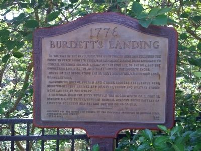
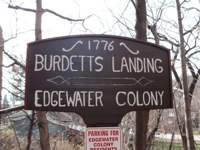
Burdett's Landing
1776
In the time of the revolution, the road turned here and followed the brook to Peter Burdett’s ferry, the important Hudson River approach to General Nathaniel Greene’s encampment at Fort Lee, on the hill, and the connecting link with the American forces on the opposite shore.
South of the brook stood the Burdett homestead, Washington’s local headquarters.
Washington, Greene, Putnam and others crossed frequently here, dispatch-bearers arrived and departed, troops and military stores were landed at the wharf.
A memorial near the river recalls the engagements of August 18, October 8, 9, and 27, 1776, between General Mercer’s shore battery of eighteen-pounders and certain British ships-of-war.
Prepared for the mayor and council by the Edgewater Committee on Historic Sites, Edgewater, New Jersey.
July 4, 1952
Erected 1952 by Edgewater Committee on Historic Sites.
Topics. This historical marker is listed in these topic lists: Forts and Castles • Patriots & Patriotism • War, US Revolutionary • Waterways & Vessels. A significant historical month for this entry is July 1737.
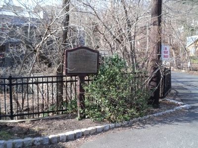
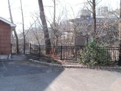
Location. 40° 50.616′ N, 73° 58′ W. Marker is in Edgewater, New Jersey, in Bergen County. Marker is on Annett Avenue. Touch for map . Marker is in this post office area: Edgewater NJ 07020, United States of America. Touch for directions.
Other nearby markers. At least 8 other markers are within walking distance of this marker. Cannons (approx. 0.3 miles away); Historical Chronology 1776 (approx. 0.3 miles away); General Henry Knox (approx. 0.3 miles away); General Horatio Gates (approx. 0.3 miles away); Liberty Tree Memorial (approx. 0.4 miles away); Fort Lee Road (approx. 0.4 miles away); Old Army Road (approx. 0.4 miles away); The Barbette Battery (approx. 0.4 miles away).
Also see . . . The Edgewater Colony. Website homepage (Submitted on December 16, 2021, by Larry Gertner of New York, New York.)
Credits. This page was last revised on December 17, 2021. It was originally submitted on September 2, 2009, by Richard Dworkin of New York, New York. This page has been viewed 1,724 times since then and 34 times this year. Photos: 1. submitted on September 2, 2009, by Richard Dworkin of New York, New York. 2, 3, 4. submitted on December 30, 2011, by Bill Coughlin of Woodland Park, New Jersey. • Kevin W. was the editor who published this page.


