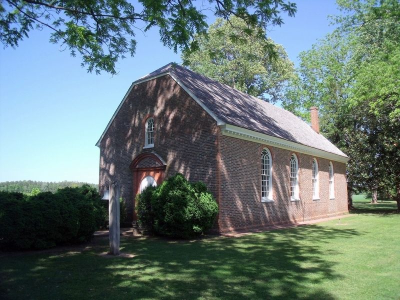
Charles City in Charles City County, Virginia — The American South (Mid-Atlantic)
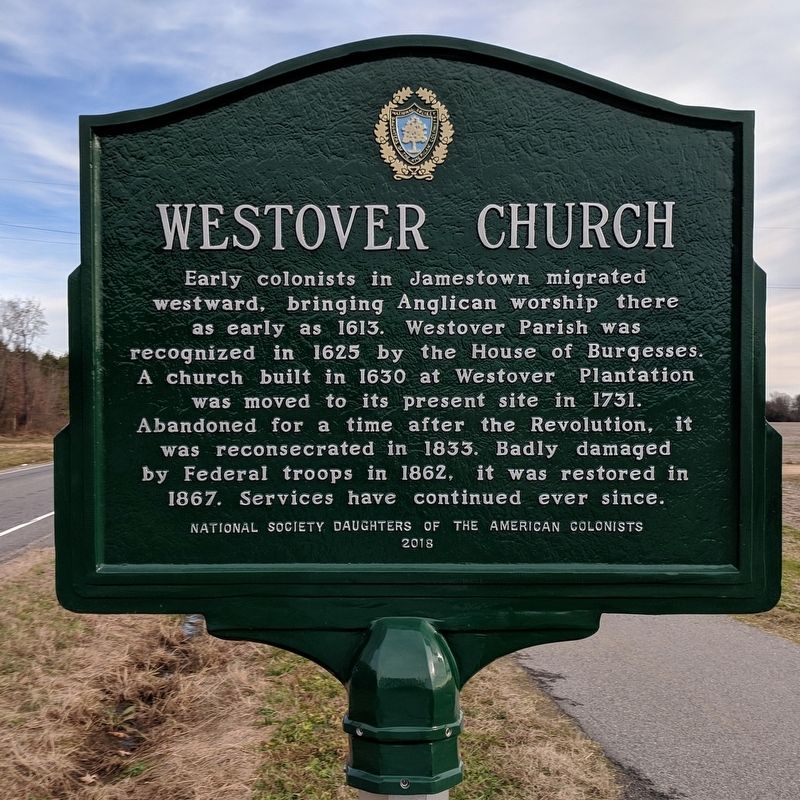
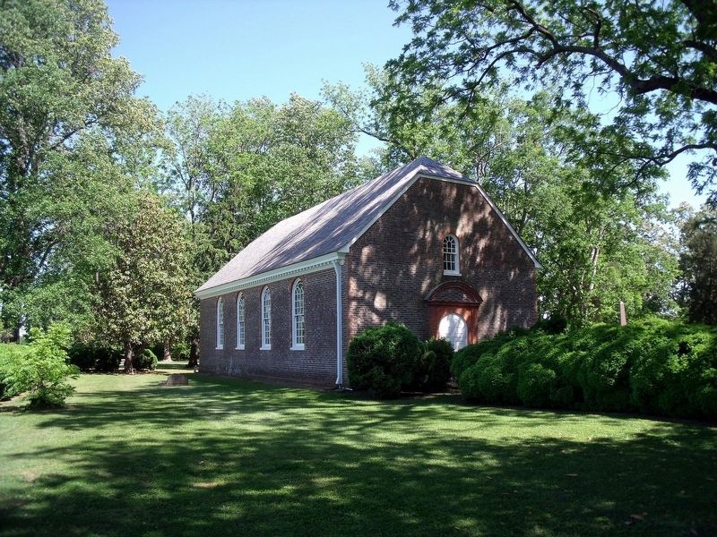
Westover Church
Erected 2018 by National Society Daughters of the American Colonists.
Topics. This historical marker is listed in these topic lists: Churches & Religion • Colonial Era • War, US Civil • War, US Revolutionary. A significant historical year for this entry is 1625.
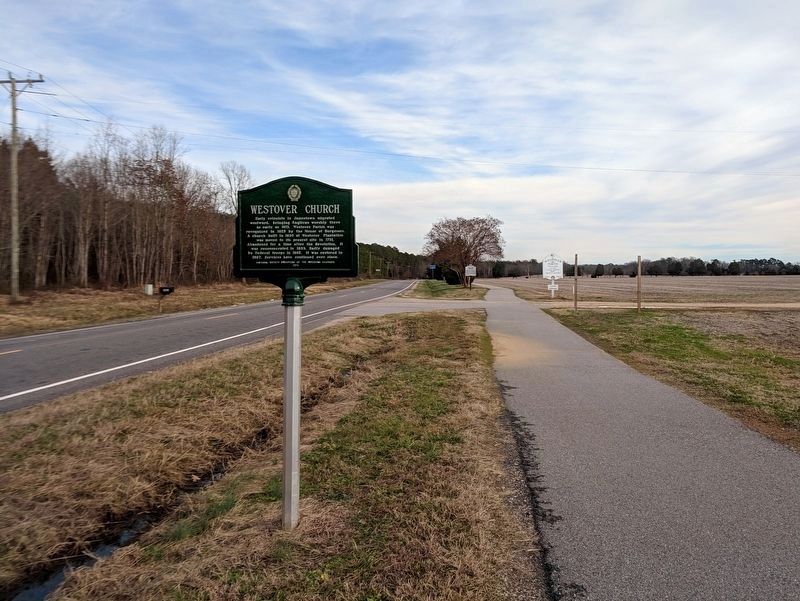
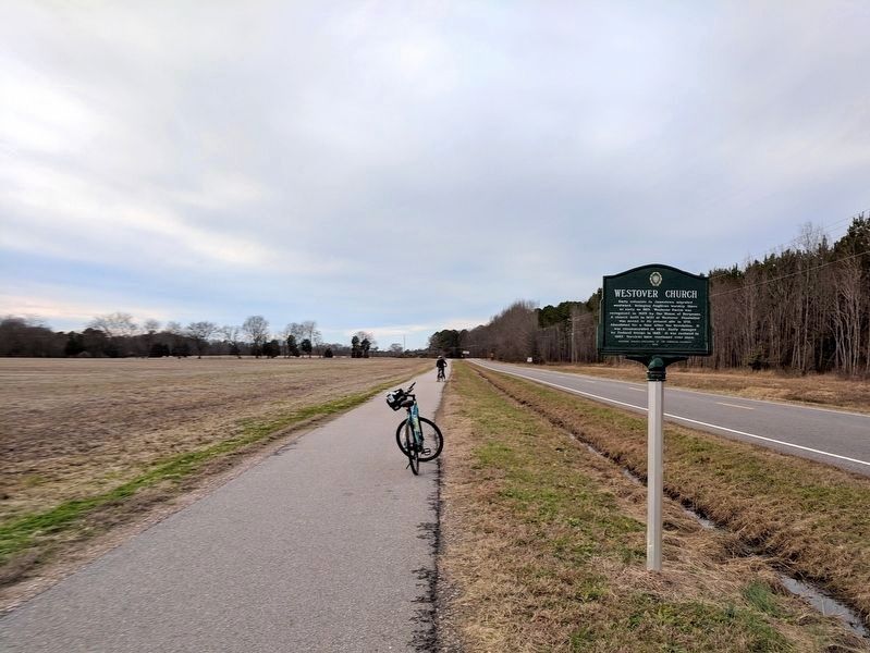
Location. 37° 20.127′ N, 77° 9.558′ W. Marker is in Charles City, Virginia, in Charles City County. Marker is on John Tyler Memorial Highway (Virginia Route 5) 0.4 miles east of Barnetts Road (Route 609), on the right when traveling east. Touch for map. Marker is at or near this postal address: 6401 John Tyler Memorial Hwy, Charles City VA 23030, United States of America. Touch for directions.
Other nearby markers. At least 8 other markers are within 2 miles of this marker, measured as the crow flies. A different marker also named Westover Church (about 500 feet away, measured in a direct line); Evelynton (approx. 0.4 miles away); Salem Church (approx. 0.4 miles away); Herring Creek (approx. 1.3 miles away); Stuart's Ride (approx. 1˝ miles away); Lane to Site of First Thanksgiving (approx. 1.6 miles away); Willie Johnston (approx. 1.6 miles away); Berkeley and Harrison's Landing (approx. 1.6 miles away). Touch for a list and map of all markers in Charles City.
Also see . . .
1. Westover Church. Wikipedia (Submitted on January 6, 2019.)
2. Westover Episcopal Church. (Submitted on January 6, 2019.)
Credits. This page was last revised on April 24, 2023. It was originally submitted on January 6, 2019, by Bernard Fisher of Richmond, Virginia. This page has been viewed 330 times since then and 39 times this year. Last updated on April 24, 2023, by Carolyn Sanders of Plano, Texas. Photos: 1, 2, 3. submitted on January 6, 2019, by Bernard Fisher of Richmond, Virginia. 4, 5. submitted on April 29, 2010, by Bernard Fisher of Richmond, Virginia. • J. Makali Bruton was the editor who published this page.
