Marietta in Washington County, Ohio — The American Midwest (Great Lakes)
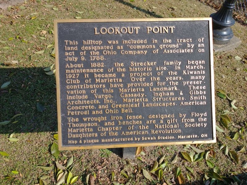
Lookout Point
About 1882, the Strecker family began maintenance of the historic site. In March, 1927 it became a project of the Kiwanis Club of Marietta. Over the years, many contributors have provided for the preservation of this Marietta Landmark. These include Vargo, Cassady, Ingham & Gibbs Architects, Inc., Marietta Structures, Smith Concrete, and Greenleaf Landscapes, American Petroel and Ohio Bell.
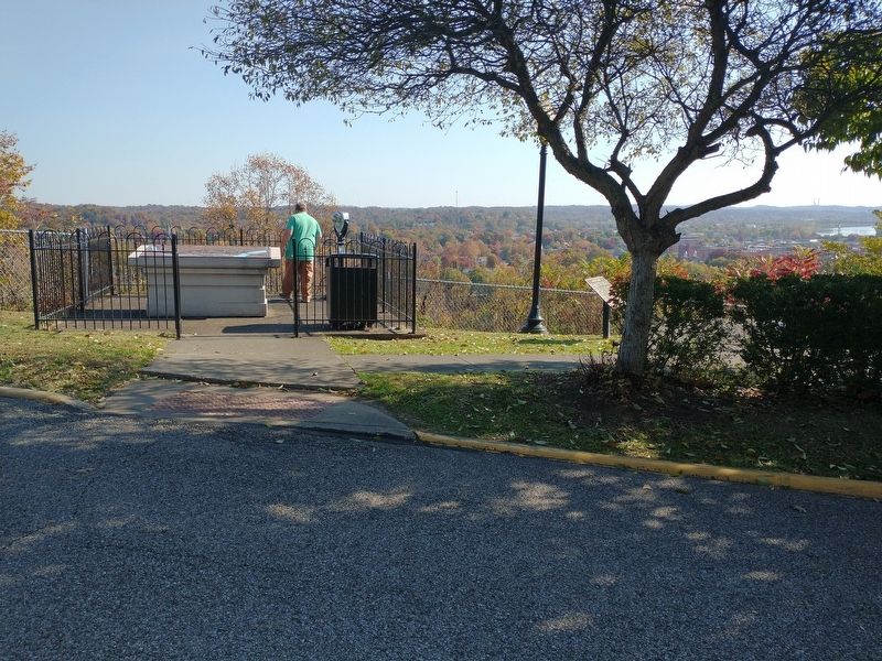
The wrought iron fence, designed by Floyd Thompson, and benches are a gift from the Marietta Chapter of the National Society Daughters of the American Revolution.
Map & plaque manufactured by Sewah Studios, Marietta, OH
Erected by Marietta Chapter of the National Society Daughters of the American Revolution.
Topics and series. This historical marker is listed in this topic list: Natural Features. In addition, it is included in the Daughters of the American Revolution series list. A significant historical month for this entry is March 1927.
Location. 39° 25.027′ N, 81° 27.963′ W. Marker is in Marietta, Ohio, in Washington County. Marker is on Bellevue Street, on the right when traveling north. Touch for map . Marker is at or near this postal address: 201 Bellevue St, Marietta OH 45750, United States of America. Touch for directions.
Other nearby markers. At least 8 other markers are within walking distance of this marker. Marietta (here, next to this marker); The W. P. Snyder Jr. (approx. ¼ mile away); Tour of the Snyder (approx. ¼ mile away); Life on the River / Boats on the Ohio (approx. ¼ mile away); Muskingum River Underground Railroad / Marietta Leaders of the Underground Railroad (approx. ¼ mile away); The Towboat W. P. Snyder Jr. (approx. ¼ mile away); Flood Heights (approx. ¼ mile away); Flatboats (approx. ¼ mile away). Touch for a list and map of all markers in Marietta.
Credits. This page was last revised on April 24, 2023. It was originally submitted on November 4, 2022, by Craig Doda of Napoleon, Ohio. This page has been viewed 137 times since then and 37 times this year. Last updated on April 24, 2023, by Carolyn Sanders of Plano, Texas. Photos: 1, 2, 3. submitted on November 4, 2022, by Craig Doda of Napoleon, Ohio. • J. Makali Bruton was the editor who published this page.


