Near Cord in Independence County, Arkansas — The American South (West South Central)
Walnut Grove
Photographed by Duane and Tracy Marsteller, April 22, 2023
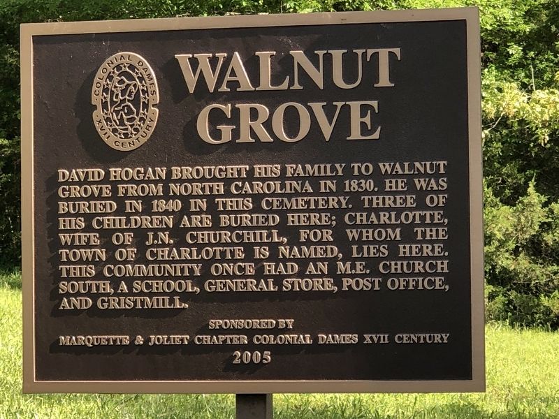
1. Walnut Grove Marker
David Hogan brought his family to Walnut Grove from North Carolina in 1830. He was buried in 1840 in this cemetery. Three of his children are buried here; Charlotte, wife of J.N. Churchill, for whom the town of Charlotte is named, lies here. This community once had an M.E. Church South, a school, general store, post office, and gristmill.
Erected 2005 by Marquette & Joliet Chapter, Colonial Dames of the XVII Century.
Topics and series. This historical marker is listed in these topic lists: Cemeteries & Burial Sites • Settlements & Settlers. In addition, it is included in the The Colonial Dames XVII Century, National Society series list. A significant historical year for this entry is 1830.
Location. 35° 50.276′ N, 91° 23.154′ W. Marker is near Cord, Arkansas, in Independence County. It is on Walden Road north of White Drive (Arkansas Route 25), on the left when traveling north. Touch for map. Marker is at or near this postal address: 60 Walden Rd, Sulphur Rock AR 72579, United States of America. Touch for directions.

Regionally, this marker is on the Ozark Plateau. It is also in the American South and
this page online
Other nearby markers. At least 8 other markers are within 15 miles of this marker, measured as the crow flies: Southwest Trail (within shouting distance of this marker); Town of Cord (approx. 2.9 miles away); Independence County Poor Farm and Burial Ground (approx. 11.2 miles away); In Honor of all who Served (approx. 11½ miles away); Jackson County Courthouse (approx. 14.3 miles away); The Courthouse (approx. 14.3 miles away); Surrender at Jacksonport (approx. 14.3 miles away); Jacksonport Civil War Cannon (approx. 14.3 miles away). Touch for a list and map of all markers in Cord.
Also see . . . Walnut Grove Cemetery. Find a Grave entry on the burial ground includes gravestone photographs and biographical information on those buried there. (Submitted on April 25, 2023, by Duane and Tracy Marsteller of Murfreesboro, Tennessee.)
Photographed by Duane and Tracy Marsteller, April 22, 2023
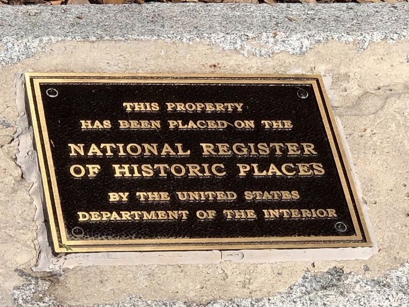
2. Walnut Grove Cemetery National Register plaque
National Register of Historic Places Registration Form:
Click for more information.
Click for more information.
Photographed by Duane and Tracy Marsteller, April 22, 2023
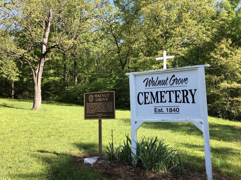
3. Walnut Grove Marker

Photographed by Duane and Tracy Marsteller, April 22, 2023
4. Walnut Grove Cemetery
Credits. This page was last revised on April 27, 2023. It was originally submitted on April 25, 2023, by Duane and Tracy Marsteller of Murfreesboro, Tennessee. This page has been viewed 407 times since then and 37 times this year. Photos: 1, 2, 3, 4. submitted on April 25, 2023, by Duane and Tracy Marsteller of Murfreesboro, Tennessee.
