Eagle Pass in Maverick County, Texas — The American South (West South Central)
Fort Duncan Infantry Barracks
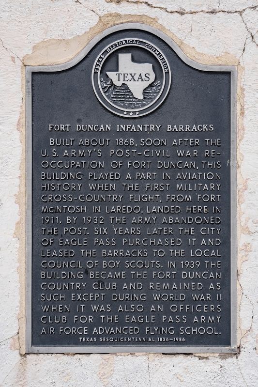
Photographed by Mansfieldphoto.com, February 9, 2025
1. Fort Duncan Infantry Barracks Marker
Erected 1986 by Texas Historical Commission. (Marker Number 1980.)
Topics. This historical marker is listed in these topic lists: Air & Space • Forts and Castles • War, World II • Wars, US Indian. A significant historical year for this entry is 1868.
Location. 28° 42.136′ N, 100° 30.315′ W. Marker is in Eagle Pass, Texas, in Maverick County. It is on Bliss Street west of South Adams Street, on the left when traveling west. Touch for map. Marker is at or near this postal address: 483 Bliss Street, Eagle Pass TX 78852, United States of America. Touch for directions.

Regionally, this marker is in the Hill Country. It is also in the American Borderlands. Globally, it is in North America, a Gulf of Mexico state, the Western Hemisphere, the Western World, and the Anglosphere. Historically, it finds itself in what was once New Spain, the Republic of Texas, and one of the Confederate States of America.
Other nearby markers. At least 7 other markers are within 4 miles of this marker, measured as the crow flies: Fort Duncan (about 600 feet away, measured in a direct line); a different marker also named Fort Duncan (about 800 feet away); Eagle Pass C.S.A. (approx. half a mile away);
this page online
More about this marker. The marker is mounted on the front of the burnt out remains of the building.
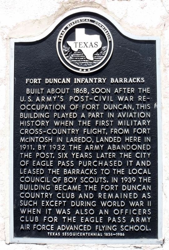
Photographed by William F Haenn, June 8, 2012
2. Fort Duncan Infantry Barracks Marker
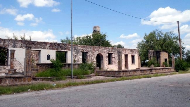
Photographed by William F Haenn, June 8, 2012
3. Fort Duncan Infantry Barracks and marker
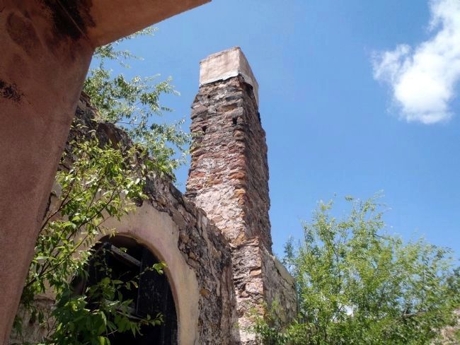
Photographed by William F Haenn, June 8, 2012
4. Fort Duncan Infantry Barracks interior chimney
Credits. This page was last revised on June 23, 2025. It was originally submitted on June 8, 2012, by William F Haenn of Fort Clark (Brackettville), Texas. This page has been viewed 1,523 times since then and 69 times this year. Last updated on April 25, 2023, by Carl Gordon Moore Jr. of North East, Maryland. Photos: 1. submitted on June 23, 2025, by James Hulse of Medina, Texas. 2. submitted on April 26, 2023, by William F Haenn of Fort Clark (Brackettville), Texas. 3, 4. submitted on June 8, 2012, by William F Haenn of Fort Clark (Brackettville), Texas. • James Hulse was the editor who published this page.
