Salem in Essex County, Massachusetts — The American Northeast (New England)
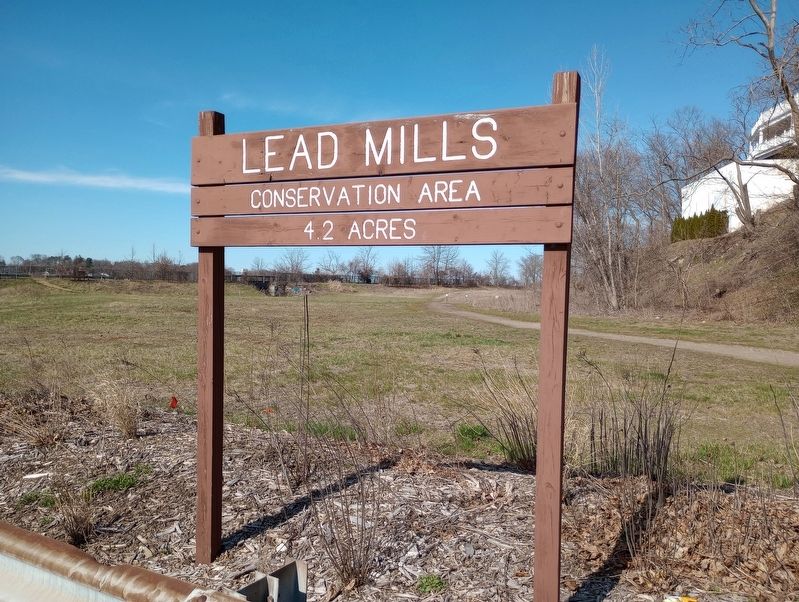
Lead Mills Conservation Area
A Cooperative Project Between the City of Salem, the Town of Marblehead, and the Commonwealth of Massachusetts PARC Grant Program
Conserved 2013
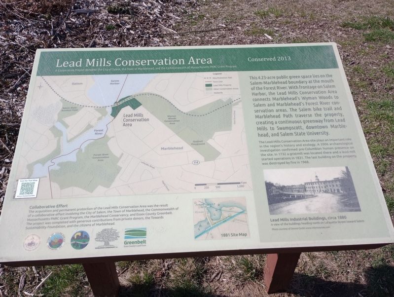
This 4.23-acre public green space lies on the Salem-Marblehead boundary at the mouth of the Forest River. With frontage on Salem Harbor, the Lead Mills Conservation Area connects Marblehead's Wyman Woods to Salem and Marblehead's Forest River conservation areas. The Salem bike trail and Marblehead Path traverse the property, creating a continuous greenway from Lead Mills to Swampscott, downtown Marblehead, and Salem State University.
The Lead Mills Conservation Area site plays an important role in the region's history and ecology. A 2006 archaeological investigation confirmed pre-Columbian human presence on the site. In 1732 a gristmill was located there and a lead mill started operations in 1831. The last building on the property was destroyed by fire in 1968.
Lead Mills Industrial Buildings, circa 1880 A view of the buildings heading north on Lafayette Street toward Salem Photo courtesy of Dennis Curtin www.shortcourses.com
Collaborative Effort
The acquisition and permanent protection of the Lead Mills Conservation Area was the result of a collaborative effort involving the City of Salem, the Town of Marblehead, the Commonwealth of Massachusetts PARC Grant Program, the Marblehead Conservancy, and Essex County Greenbelt. The project was completed with generous contributions from private donors, the Towards Sustainability Foundation, and the citizens of Marblehead.
Topics. This historical marker is listed in these topic lists: Architecture • Parks & Recreational Areas • Waterways & Vessels. A significant historical year for this entry is 2013.
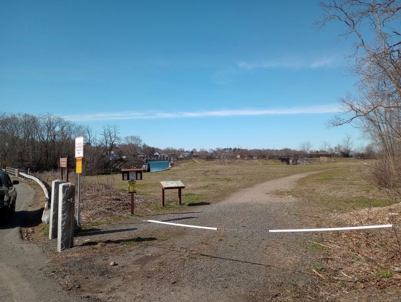
Location. 42° 29.79′ N, 70° 53.154′ W. Marker is in Salem, Massachusetts, in Essex County. Marker is on Lafayette Street, on the right when traveling north. Touch for map. Marker is at or near this postal address: 485 Lafayette St, Salem MA 01970, United States of America. Touch for directions.
Other nearby markers. At least 8 other markers are within 2 miles of this marker, measured as the crow flies. World War I Memorial (approx. 0.9 miles away); St. Joseph's Parish War Memorial (approx. 1˝ miles away); Great Salem Fire (approx. 1˝ miles away); The Point Neighborhood (approx. 1˝ miles away); In Memory of Those Who Have Died (approx. 1.6 miles away); Marblehead Vietnam Veterans Memorial (approx. 1.6 miles away); Marblehead World War I Monument (approx. 1.6 miles away); Marblehead Soldiers Memorial (approx. 1.6 miles away). Touch for a list and map of all markers in Salem.
Credits. This page was last revised on December 12, 2023. It was originally submitted on April 27, 2023, by Craig Doda of Napoleon, Ohio. This page has been viewed 100 times since then and 27 times this year. Photos: 1, 2, 3. submitted on April 27, 2023, by Craig Doda of Napoleon, Ohio. • Bill Pfingsten was the editor who published this page.


