Leesburg in Loudoun County, Virginia — The American South (Mid-Atlantic)
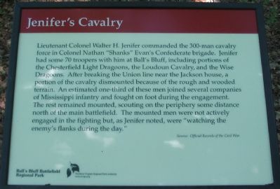
Jenifer’s Cavalry
Source: Official Records of the Civil War.
Erected by Ball's Bluff Regional Park/Northern Virginia Regional Park Authority.
Topics and series. This historical marker is listed in this topic list: War, US Civil. In addition, it is included in the NOVA Parks series list.
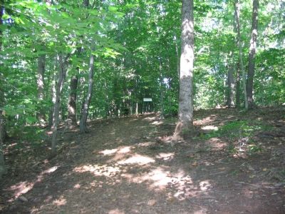
Location. 39° 8′ N, 77° 31.789′ W. Marker is in Leesburg, Virginia, in Loudoun County. Marker can be reached from Ball’s Bluff Road, on the left when traveling east. Located at trail stop 3, inside Ball’s Bluff Regional Park. The marker was recently moved further north along the trail to better illustrate the position occupied by the unit during the battle. Touch for map. Marker is in this post office area: Leesburg VA 20176, United States of America. Touch for directions.
Other nearby markers. At least 8 other markers are within walking distance of this marker. 15th Massachusetts Infantry (within shouting distance of this marker); Battlefield Historic Restoration Project (about 300 feet away, measured in a direct line); 8th Virginia Infantry (about 700 feet away); 8th Virginia Volunteer Infantry Regiment (about 700 feet away); M1841 12 Pound Mountain Howitzer (about 700 feet away); Thomas Clinton Lovett Hatcher (about 700 feet away); Clinton Hatcher (about 700 feet away); Battle of Ball's Bluff, October 21, 1861 (about 700 feet away). Touch for a list and map of all markers in Leesburg.
Regarding Jenifer’s Cavalry. This marker is one of a set along the Balls Bluff Battlefield walking trail. See the Balls Bluff Virtual Tour by Markers link below for details on each stop.
Also see . . .
1. Brief Summary of the Battle of Ball's Bluff. (Submitted on August 30, 2007, by Craig Swain of Leesburg, Virginia.)
2. Staff Ride Guide. Produced by the Center of Military History for Army Officer Professional Development. (Submitted on August 30, 2007, by Craig Swain of Leesburg, Virginia.)

Photographed By Craig Swain, July 30, 2007
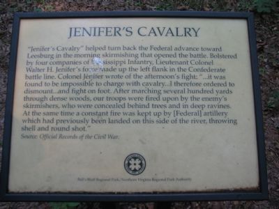
2. The Old Jenifer's Cavalry Marker
Replaced in August 2007 by the current marker, this one read:
"Jenifer's Cavalry" helped turn back the Federal advance toward Leesburg in the morning skirmishing that opened the battle. Bolstered by four companies of Mississippi Infantry, Lieutenant Colonel Walter H. Jenifer's force made up the left flank in the Confederate battle line. Colonel Jenifer wrote of the afternoon's fight: "...it was found to be impossible to charge with cavalry...I therefore ordered to dismount...and fight on foot. After marching several hundred yards through dense woods, our troops were fired upon by the enemy's skirmishers, who were concealed behind trees and in deep ravines. At the same time a constant fire was kept up by [Federal] artillery which had previously been landed on this side of the river, throwing shell and round shot."
Source: Official Records of the Civil War.
3. Balls Bluff Battlefield Virtual Tour by Marker. Over twenty markers detail the action at Balls Bluff and related sites. Please use the Click to map all markers shown on this page option at the bottom of the page to view a map of the marker locations. The hybrid view offers an excellent overlook of the park. (Submitted on November 11, 2007, by Craig Swain of Leesburg, Virginia.)
Credits. This page was last revised on June 16, 2016. It was originally submitted on August 30, 2007, by Craig Swain of Leesburg, Virginia. This page has been viewed 2,447 times since then and 33 times this year. Photos: 1. submitted on September 1, 2007, by Craig Swain of Leesburg, Virginia. 2, 3. submitted on August 30, 2007, by Craig Swain of Leesburg, Virginia. • J. J. Prats was the editor who published this page.

