Near Crockett in Houston County, Texas — The American South (West South Central)
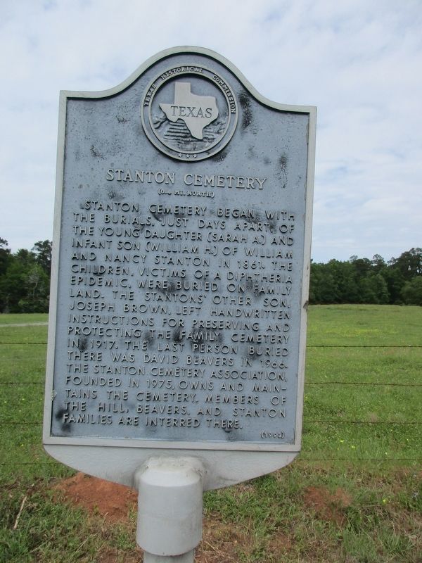
Stanton Cemetery
(0.4 Mi. North)
Erected 1993 by Texas Historical Commission. (Marker Number 7044.)
Topics. This historical marker is listed in this topic list: Cemeteries & Burial Sites.
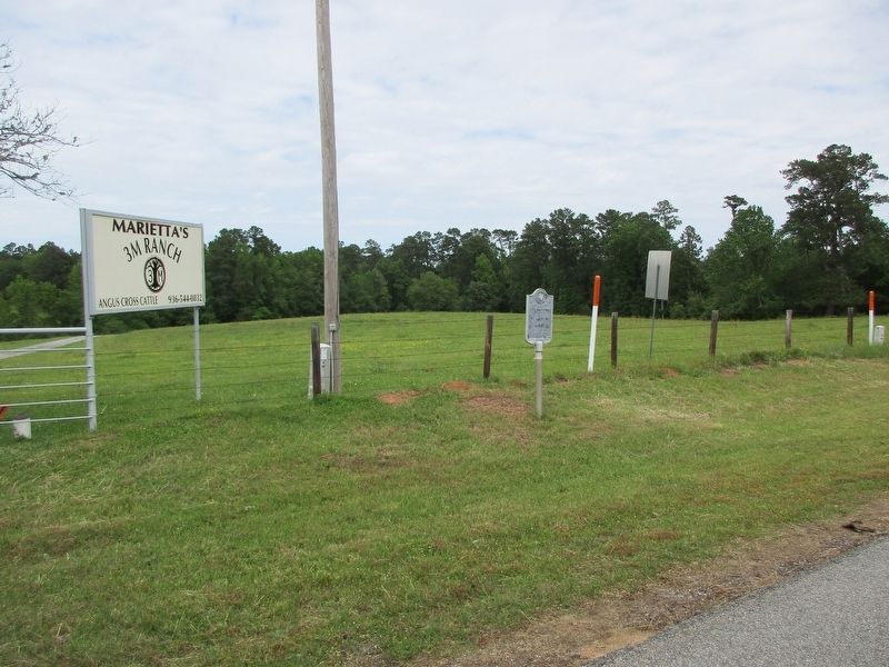
Location. 31° 19.82′ N, 95° 19.821′ W. Marker is near Crockett, Texas, in Houston County. Marker is on Texas Route 7, 1.6 miles west of Farm to Market Road 232, on the right when traveling west. 7.7 miles east of Crockett. Touch for map. Marker is in this post office area: Crockett TX 75835, United States of America. Touch for directions.
Other nearby markers. At least 8 other markers are within 8 miles of this marker, measured as the crow flies. Kings Highway Camino Real — Old San Antonio Road (approx. 4.1 miles away); Joseph Redmond Rice and Willie Masters Rice (approx. 4.4 miles away); Rice Cemetery (approx. 4.4 miles away); Original Site of the Joseph R. Rice Log Cabin (approx. 4.4 miles away); Stage Coach Inn (approx. 4.4 miles away); a different marker also named Kings Highway Camino Real — Old San Antonio Road (approx. 5.4 miles away); New Energy Cemetery (approx. 6.9 miles away); a different marker also named Kings Highway Camino Real — Old San Antonio Road (approx. 7.2 miles away). Touch for a list and map of all markers in Crockett.
Credits. This page was last revised on April 27, 2023. It was originally submitted on April 27, 2023, by Jeff Leichsenring of Garland, Texas. This page has been viewed 196 times since then and 73 times this year. Photos: 1, 2. submitted on April 27, 2023, by Jeff Leichsenring of Garland, Texas. • James Hulse was the editor who published this page.

