Havana in Huron County, Ohio — The American Midwest (Great Lakes)
Boughton Road
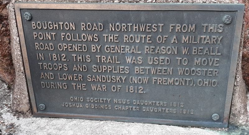
Photographed by Craig Doda, October 17, 2019
1. Boughton Road Marker
Erected by Ohio Society N.S.U.S. Daughters.
Topics and series. This historical marker is listed in these topic lists: Roads & Vehicles • War of 1812. In addition, it is included in the United States Daughters of 1812, National Society series list. A significant historical year for this entry is 1812.
Location. 41° 7.486′ N, 82° 46.414′ W. Marker is in Havana, Ohio, in Huron County. It is at the intersection of Old Military Road and North Greenfield Road (County Road 7), on the right when traveling north on Old Military Road. Touch for map. Marker is at or near this postal address: 5169 N Greenfield Rd, Willard OH 44890, United States of America. Touch for directions.

Regionally, this marker is in Ohio’s Western Reserve. It is also in the American Midwest and in the Corn Belt. Globally, it is in North America, the Western Hemisphere, the Western World, and
this page online
Other nearby markers. At least 8 other markers are within 6 miles of this marker, measured as the crow flies: The Former Site Of St. Sebastian Church (approx. 2.9 miles away); The Underground Railroad / The Underground Railroad at Omar Inn and Omar Chapel of Seneca County (approx. 4.7 miles away); Omar Chapel (approx. 4.7 miles away); Omar Veterans Memorial (approx. 4.7 miles away); A New Dawn. A New Beginning (approx. 5½ miles away); St. Jude Thaddeus (approx. 5.6 miles away); The Western Reserve (approx. 5.6 miles away); Saint Isidore and Maria (approx. 5.6 miles away).
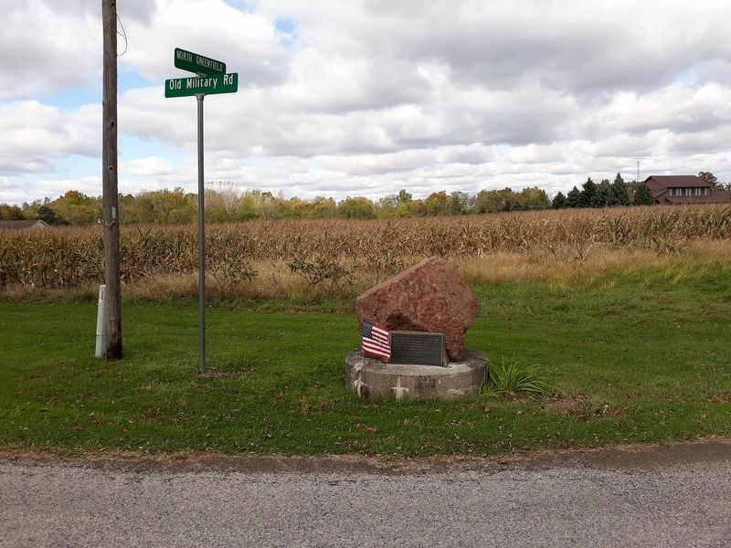
Photographed by Craig Doda, October 17, 2019
2. Boughton Road Marker
Credits. This page was last revised on April 30, 2023. It was originally submitted on November 11, 2020, by Craig Doda of Napoleon, Ohio. This page has been viewed 658 times since then and 67 times this year. Last updated on April 29, 2023, by Bradley Owen of Morgantown, West Virginia. Photos: 1, 2. submitted on November 11, 2020, by Craig Doda of Napoleon, Ohio. • J. Makali Bruton was the editor who published this page.
