
Eatonville in Orange County, Florida — The American South (South Atlantic)
Traditional Pathways and Ladies Club Pavilion
Photographed by Brandon D Cross, April 22, 2023
1. Traditional Pathways and Ladies Club Pavilion Marker
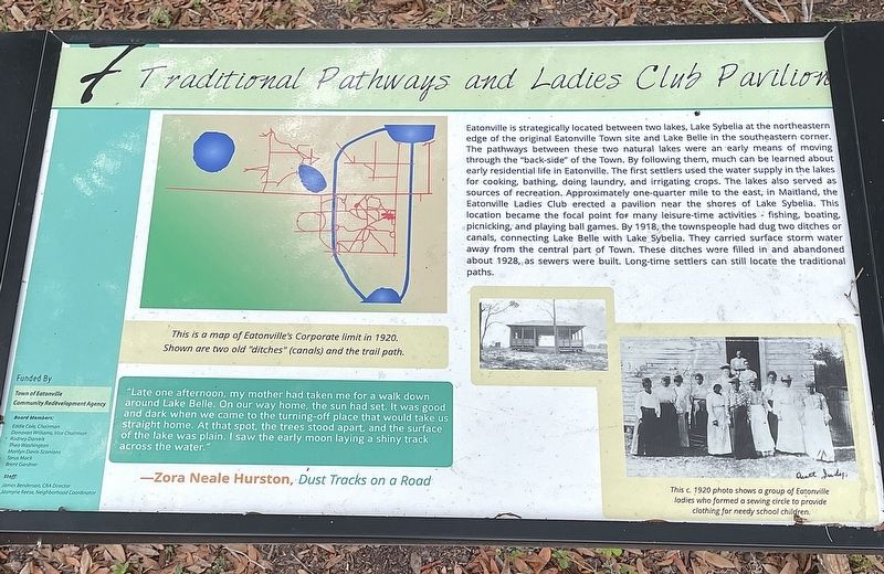
"Late one afternoon, my mother had taken
this page online
— Zora Neale Hurston, Dust Tracks on a Road
(Captions)
This is a map of Eatonville's Corporate limit in 1920. Shown are two old "ditches" (canals) and the trail path.
This c. 1920 photo shows a group of Eatonville ladies who formed a sewing circle to provide clothing for needy school children.
Erected by The Town of Eatonville Community Redevelopment Agency. (Marker Number 7.)
Topics. This historical marker is listed in these topic lists: African Americans • Parks & Recreational Areas • Settlements & Settlers • Women. A significant historical year for this entry is 1918.
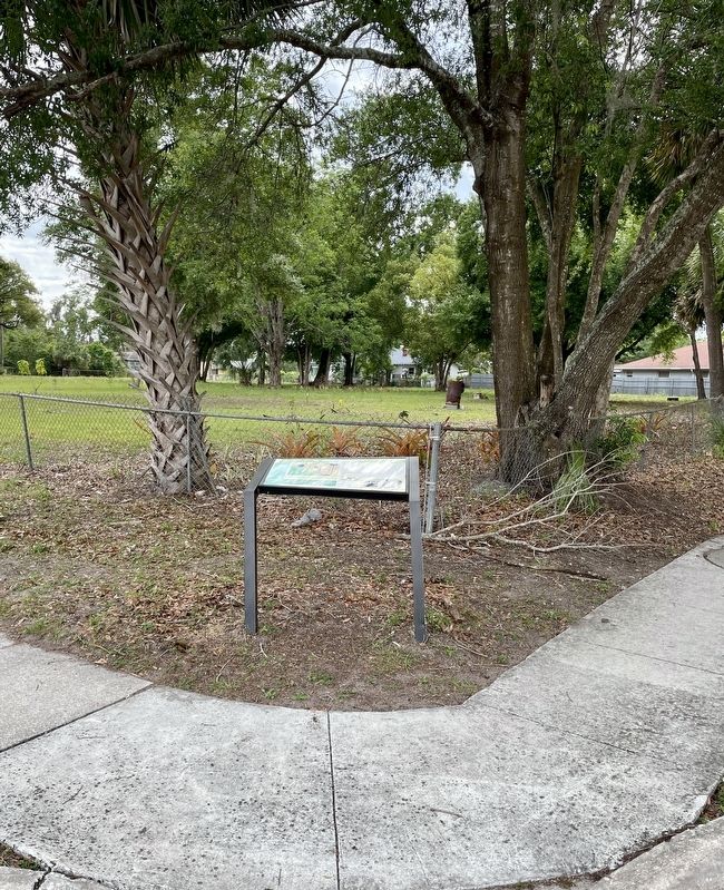
Location. 28° 37.216′ N, 81° 22.761′ W. Marker is in Eatonville, Florida, in Orange County. It is at the intersection of North Calhoun Avenue and Eaton Street, on the left when traveling north on North Calhoun Avenue. Touch for map. Marker is
Photographed by Brandon D Cross, April 22, 2023
2. Traditional Pathways and Ladies Club Pavilion Marker

Regionally, this marker is in Greater Orlando and in Central Florida. It is also in the American South. Globally, it is in the North Atlantic Region, North America, a Gulf of Mexico state, the Western Hemisphere, the Western World, and the Anglosphere. Historically, it finds itself in what was once New Spain, the territory of the Mississippian Culture, one of the Confederate States of America, and the Antebellum South.
Other nearby markers. At least 8 other markers are within walking distance of this marker: Dash’s Citrus Grove & House (about 300 feet away, measured in a direct line); Missionary Baptist Church (about 700 feet away); Eatonville, Florida (approx. 0.2 miles away); Mack’s Auto Repair Garage (approx. 0.2 miles away); The Hurston and Joe Clark’s (approx. 0.2 miles away); St. Lawrence African Methodist Church and the Mosley House (approx. 0.2 miles away); Hungerford School (approx. ¼ mile away); Matilda Mosley Home (approx. ¼ mile away). Touch for a list and map of all markers in Eatonville.
Also see . . . Eatonville Florida (1887 -). (Submitted on May 1, 2023, by Brandon D Cross of Flagler Beach, Florida.)
Credits. This page was last revised on May 2, 2023. It was originally submitted on May 1, 2023, by Brandon D Cross of Flagler Beach, Florida. This page has been viewed 327 times since then and 28 times this year. Photos: 1, 2. submitted on May 1, 2023, by Brandon D Cross of Flagler Beach, Florida. • Bernard Fisher was the editor who published this page.
