University Park in Stockton in San Joaquin County, California — The American West (Pacific Coastal)
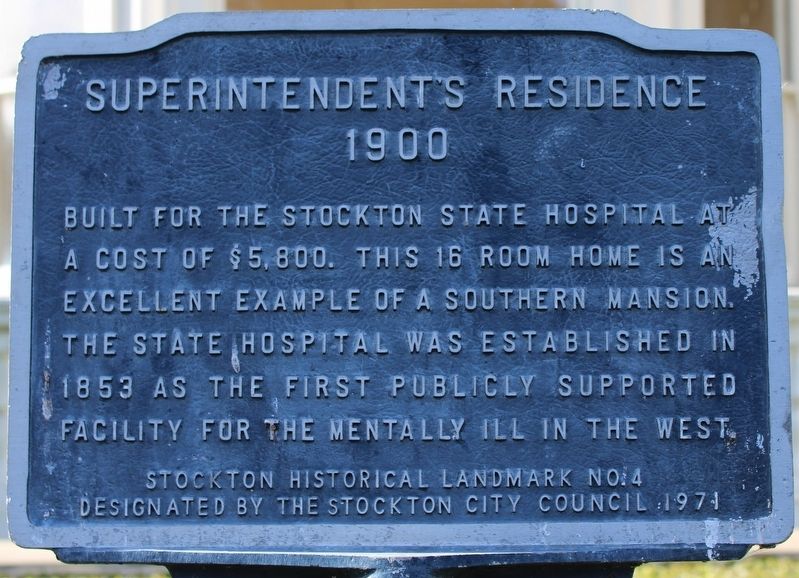
Superintendent's Residence
1900
Photographed by Joseph Alvarado, April 21, 2023
1. Superintendent's Residence Marker
Designated by the Stockton City Council 1971
Erected 1971 by Stockton City Council. (Marker Number 4.)
Topics. This historical marker is listed in these topic lists: Architecture • Science & Medicine. A significant historical year for this entry is 1900.
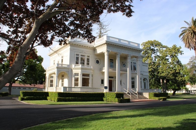
Location. 37° 57.803′ N, 121° 17.19′ W. Marker is in Stockton, California, in San Joaquin County. It is in University Park. It is on East Acacia Street west of American Street, on the right when traveling west. The plaque is mounted atop a metal post at the left front of the mansion. Touch for map. Marker is at or near this postal address: 521 East Acacia Street, Stockton CA 95202, United States of America. Touch for directions.

Regionally, this marker is in the San Joaquin Valley and specifically in the Central Valley. It is also on the American Pacific Coast. Globally, it is in North
this page online
Other nearby markers. At least 8 other markers are within walking distance of this marker: Circle of Palms (within shouting distance of this marker); Magnolia Mansion (within shouting distance of this marker); Doctors' Row Historic District (within shouting distance of this marker); Doctor's Row (within shouting distance of this marker); Stockton Developmental Center (about 400 feet away, measured in a direct line); University Park Water Tower (approx. 0.2 miles away); Home of Benjamin Holt (approx. 0.2 miles away); Magnolia Historic District (approx. 0.2 miles away). Touch for a list and map of all markers in Stockton.
More about this marker. The former grounds of the Stockton State Hospital are now the California State University Stanislaus, Stockton campus.
Related markers. Click here for a list of markers that are related to this marker. Magnolia Mansion & Doctors' Row Historic District
Also see . . . Stockton State Hospital.
Photographed by Joseph Alvarado, April 21, 2023
2. Superintendent's Residence & Marker
"Constructed as the Insane Asylum of California at Stockton in 1853, the complex was situated on 100 acres of land donated by Captain Weber."(Submitted on May 1, 2023, by Joseph Alvarado of Livermore, California.)
Photographed by Joseph Alvarado, April 21, 2023
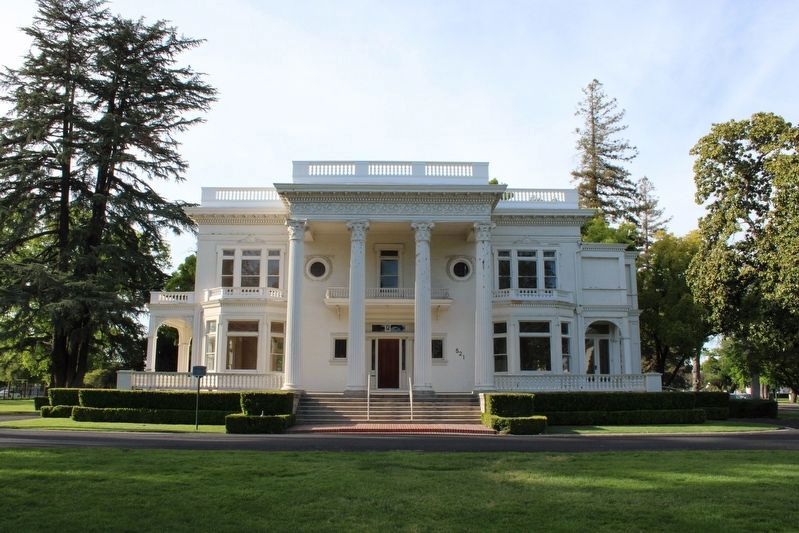
3. Superintendent's Residence
Photographed by Joseph Alvarado, April 21, 2023
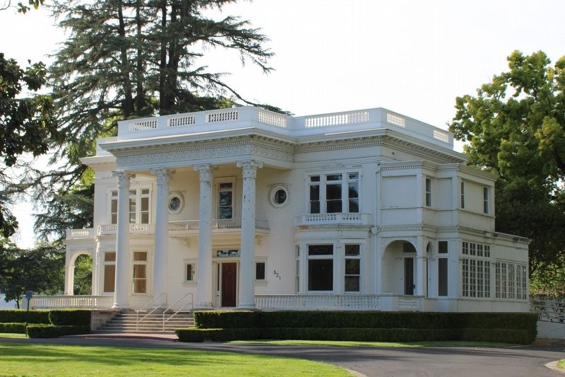
4. Superintendent's Residence
Credits. This page was last revised on May 1, 2023. It was originally submitted on May 1, 2023, by Joseph Alvarado of Livermore, California. This page has been viewed 756 times since then and 98 times this year. Photos: 1, 2, 3, 4. submitted on May 1, 2023, by Joseph Alvarado of Livermore, California.
