Chester in Queen Anne's County, Maryland — The American Northeast (Mid-Atlantic)
From Marsh to Working Waterway
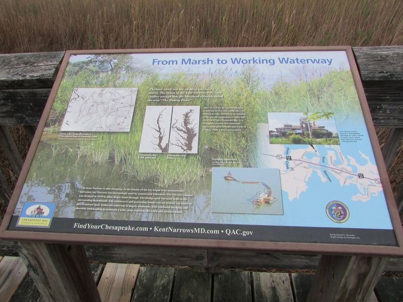
The land where you are standing was once a marsh. The straits of the Kent Narrows were once shallow enough that the Maryland colonists called the area "The Wading Place."
After the last ice age, global warming caused sea level to rise worldwide. The melting icecaps resulted in the flooding of the ancient Susquehanna Valley and the birth of the Chesapeake Bay. It is an ongoing process that continues today. Geologists estimate that sea level is rising about about a foot every century.
The Kent Narrows is also changing. As the bounty of the bay began to be commercially harvested, the Narrows was increasingly used by commercial fishermen. The Narrows channel was dredged in 1950 to allow larger boats through. The dredge spoil was used to fill in the surrounding marshlands. The restaurants and processing houses you see around you stand on this reclaimed land. Today the waterway is largely man made, with continued dredging and shoreline bulkheading to maintain a wide, deep waterway for work and pleasure boats.
Topics. This historical marker is listed in these topic lists: Colonial Era • Waterways & Vessels. A significant historical year for this entry is 1950.
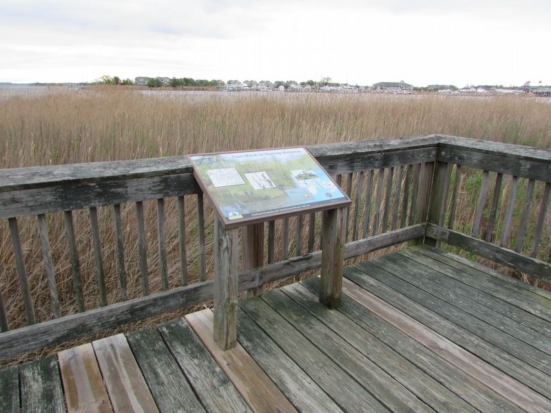
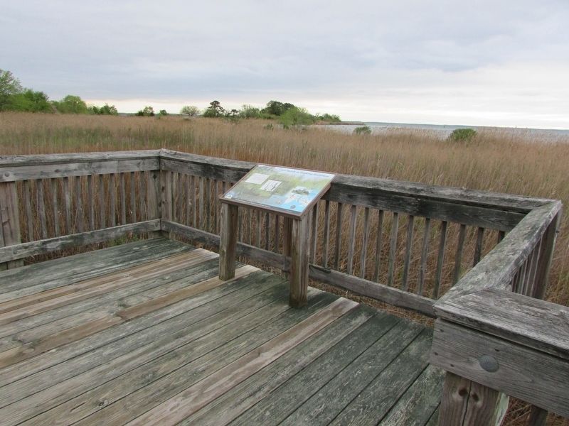
Location. 38° 58.582′ N, 76° 14.952′ W. Marker is in Chester, Maryland, in Queen Anne's County. Marker is on Piney Narrows Road. The marker is near the Chesapeake Heritage & Visitor Center on the boardwalk to Ferry Point Park. Touch for map. Marker is at or near this postal address: 425 Piney Narrows Road, Chester MD 21619, United States of America. Touch for directions.
Other nearby markers. At least 8 other markers are within walking distance of this marker. Crossing the Narrows (about 400 feet away, measured in a direct line); War Along the Chesapeake (about 600 feet away); Chesapeake Country National Scenic Byway (about 600 feet away); Enemy Occupation (about 600 feet away); Byway Destinations (about 600 feet away); a different marker also named Byway Destinations (about 600 feet away); Crossing Point (approx. 0.6 miles away); Working the Waters (approx. 0.6 miles away). Touch for a list and map of all markers in Chester.
More about this marker. A map of the area on the left side of the marker includes a caption of "Detail, John Henry Alexander's A Geological Map of Maryland, 1840." Courtesy of the Maryland State Archives.
Two illustrations in the center of the marker show Chesapeake Bay 6,000 years ago and Chesapeake Bay today.
Another photo at the bottom of the marker shows Dredging Operations of the area, Courtesy of the Army Corps of Engineers Baltimore District.
Credits. This page was last revised on May 2, 2023. It was originally submitted on May 2, 2023, by Bill Coughlin of Woodland Park, New Jersey. This page has been viewed 53 times since then and 10 times this year. Photos: 1, 2, 3. submitted on May 2, 2023, by Bill Coughlin of Woodland Park, New Jersey.


