Owens Lake in Inyo County, California — The American West (Pacific Coastal)
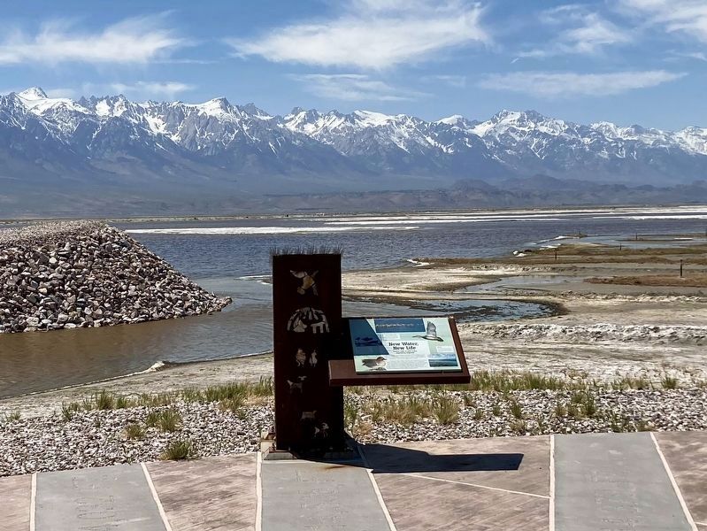
New Water, New Life
Owens Lake Project
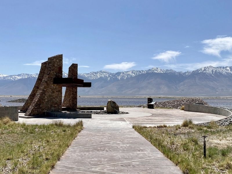
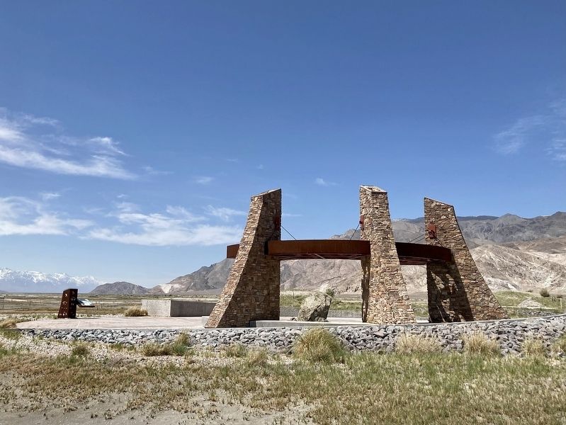
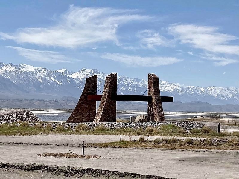
— Plover Wing Plaza —
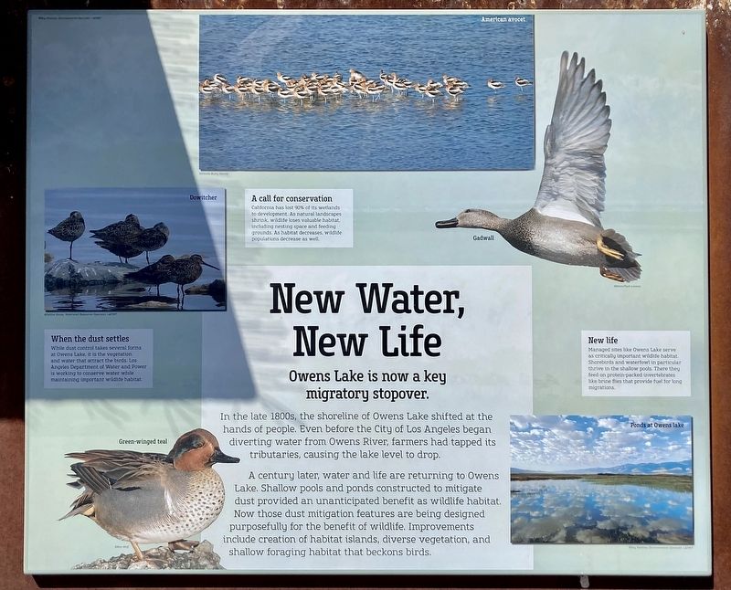
Owens Lake is now a Key Migratory Stopover
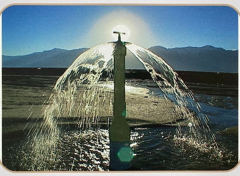
In the late 1800s, the shoreline of Owens Lake shifted at the hands of people. Even before the City of Los Angeles began diverting water from Owens River, farmers had tapped its tributaries, causing the lake level to drop. A century later, water and life are returning to Owens Lake. Shallow pools and ponds constructed to mitigate dust provided an unanticipated benefit as wildlife habitat. Now those dust mitigation features are being designed purposefully for the benefit of wildlife. Improvements include creation of habitat islands, diverse vegetation, and shallow foraging habitat that beckons birds.
A Call for Conservation
California has lost 90% of its wetlands to development. As natural landscapes shrink, wildlife loses valuable habitat, including nesting space and feeding grounds. As habitat decreases, wildlife populations decrease as well.
When the Dust Settles
While dust control takes several forms at Owens Lake, it is the vegetation and water that attract the birds. Los Angeles Department of Water and Power is working to conserve water while maintaining important wildlife habitat.
New Life
Managed sites like Owens Lake serve as critically important wildlife habitat. Shorebirds and waterfowl in particular thrive in the shallow pools. There they feed on protein-packed invertebrates like brine flies that provide fuel for long migrations.
Erected 2016 by Los Angeles DWP.
Topics. This historical marker is listed in these topic lists: Horticulture & Forestry • Industry & Commerce • Parks & Recreational Areas • Science & Medicine.
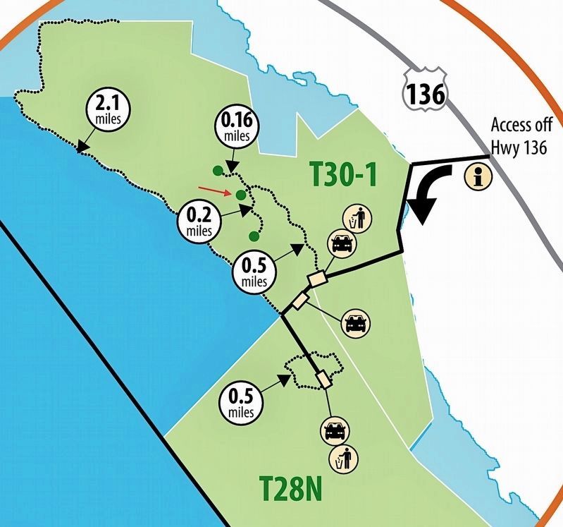
Location. 36° 31.121′ N, 117° 55.178′ W. Marker is in Owens Lake, California, in Inyo County. Marker can be reached from California Route 136. From Highway 395, take Highway 136 ten miles east to the dirt road. Drive one mile west to the parking area. Walk a half mile north to the trails plaza. Touch for map. Marker is in this post office area: Lone Pine CA 93545, United States of America. Touch for directions.
Other nearby markers. At least 8 other markers are within 4 miles of this marker, measured as the crow flies. Gifts of Rock and Water (approx. half a mile away); Owens Lake Silver-Lead Furnace (approx. 0.9 miles away); Traces of the Past (approx. 0.9 miles away); Dolomite Mine (approx. 1.7 miles away); Owens Lake Dust Mitigation Program (approx. 1.9 miles away); Keeler Then to Now (approx. 3.2 miles away); Keeler (approx. 3.3 miles away); Cerro Gordo (approx. 3.7 miles away). Touch for a list and map of all markers in Owens Lake.
Also see . . . Owens Lake Trails. LADWP website includes a downloadable brochure with maps. (Submitted on May 3, 2023.)
Credits. This page was last revised on February 25, 2024. It was originally submitted on May 3, 2023, by Craig Baker of Sylmar, California. This page has been viewed 80 times since then and 20 times this year. Photos: 1, 2, 3, 4, 5, 6, 7. submitted on May 3, 2023, by Craig Baker of Sylmar, California.
