East Village in Calgary in Calgary Metropolitan Region, Alberta — Canada’s Prairie Region (North America)
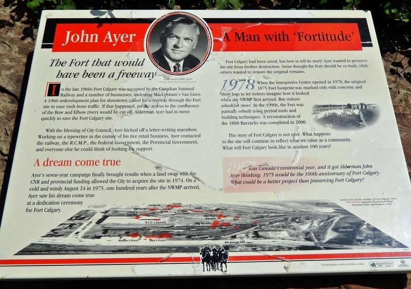
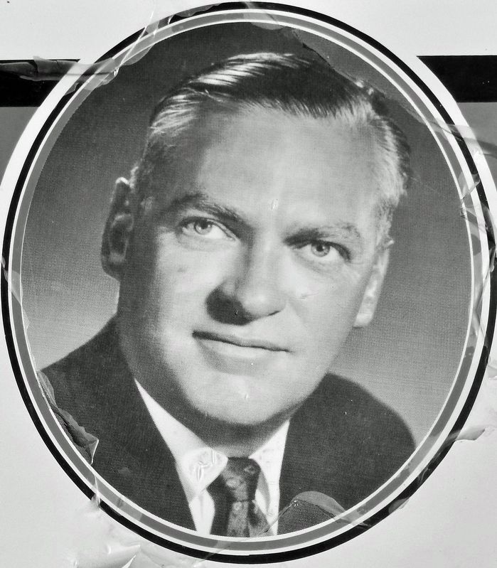
John Ayer
A Man with 'Fortitude'
In the late 1960s Fort Calgary was occupied by the Canadian National Railway and a number of businesses, including MacCosham's Van Lines. A 1966 redevelopment plan for downtown called for a freeway through the Fort site to ease rush-hour traffic. If that happened, public access to the confluence of the Bow and Elbow rivers would be cut off. Alderman Ayer had to move quickly to save the Fort Calgary site.
With the blessing of City Council, Ayer kicked off a letter-writing marathon. Working on a typewriter in the corner of his tire retail business, Ayer contacted the railway, the R.C.M.P., the Federal Government, the Provincial Government, and everyone else he could think of looking for support.
A dream come true
Ayer's seven-year campaign finally brought results when a land swap with the CNR and provincial funding allowed the City to acquire the site in 1974. On a cold and windy August 24 in 1975, one hundred years after the NWMP arrived, Ayer saw his dream come true at a dedication ceremony for Fort Calgary.
Fort Calgary had been saved, but how to tell its story? Ayer wanted to preserve the site from further destruction. Some thought the Fort should be re-built, while others wanted to restore the original remains.
When the Interpretive Centre opened in 1978, the original 1875 Fort footprint was marked only with concrete and short logs to let visitors imagine how it looked when the NWMP first arrived. But visitors asked for more. In the 1990s, the Fort was partially rebuilt using period tools and building techniques. A reconstruction of the 1888 Barracks was completed in 2000.
The story of Fort Calgary is not over. What happens to the site will continue to reflect what we value as a community. What will Fort Calgary look like in another 100 years?
1967 was Canada’s centennial year, and it got Alderman John Ayer thinking: 1975 would be the 100th anniversary of Fort Calgary. What could be a better project than preserving Fort Calgary?
[other photo captions]
• Aerial views in the vicinity of Fort Calgary 1949. Red overlay indicates Royal North West Mounted Police Barracks in 1910
Topics. This historical marker is listed in these topic lists: Charity & Public Work • Forts and Castles • Parks & Recreational Areas • Railroads & Streetcars. A significant historical date for this entry is August 24, 1975.
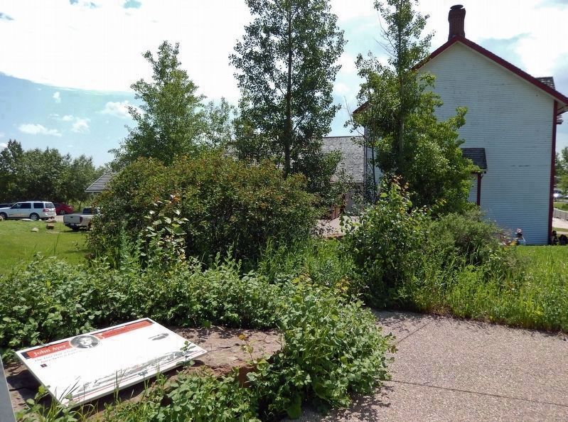
Location. 51° 2.723′ N, 114° 2.694′ W. Marker is in Calgary, Alberta, in Calgary Metropolitan Region. It is in East Village. Marker can be reached from 9 Avenue Southeast, 0.3 kilometers east of 6 Street Southeast, on the left when traveling east. Marker is located along the interpretive trail at Fort Calgary National Historic Site. Touch for map. Marker is at or near this postal address: 750 9 Avenue Southeast, Calgary AB T2G 5E1, Canada. Touch for directions.
Other nearby markers. At least 8 other markers are within walking distance of this marker. Fort Calgary's Railway Era (here, next to this marker); Building The Ideal City (here, next to this marker); Connections (within shouting distance of this marker); Calgarians Rediscover Fort Calgary (within shouting distance of this marker); Wars, Depression and Oil (within shouting distance of this marker); The City of Calgary (within shouting distance of this marker); The Frontier Community Disappears (within shouting distance of this marker); The Mounties Sell Calgary Barracks (within shouting distance of this marker). Touch for a list and map of all markers in Calgary.
Related markers. Click here for a list of markers that are related to this marker. Fort Calgary National Historic Site
Also see . . .
1. John Carleton Ayer III (Find A Grave).
(St. Mary's Cemetery, Calgary, Alberta, Canada)(Submitted on May 4, 2023, by Cosmos Mariner of Cape Canaveral, Florida.)
From 1966 to 1977, John was an alderman on city council. He led a committee of citizens whose goal was to recover the birthplace of Calgary - the site of the original NWMP Fort that was built at the confluence of the Bow and Elbow Rivers. This was an ancient place where First Nations people had been coming for millennia, but it had been buried and forgotten, and there were plans to build a freeway. John wrote hundreds of letters to people in companies that owned or leased land on the site, as well as to people at all levels of government. His persistence and fortitude came to fruition. In 1974, the City of Calgary bought the site in time for the centennial year of the fort's founding.
2. Fort Calgary.
Fort Calgary was a North-West Mounted Police outpost at the confluence of the Bow and Elbow rivers in present-day Calgary, Alberta, Canada. The NWMP continued to use the fort until 1914 when the site was sold to Grand Trunk Pacific Railway. The fort was demolished to make way for a rail terminal. The site was reopened as a historic site and museum in 1978, with the museum initially documenting the NWMP and its role in the area. The scope of the museum was later reoriented in 1995 to focus on the local history of Calgary. During the 1990s, reconstructions of several buildings that once stood at Fort Calgary took place at the historic site.(Submitted on May 4, 2023, by Cosmos Mariner of Cape Canaveral, Florida.)
Credits. This page was last revised on May 4, 2023. It was originally submitted on May 4, 2023, by Cosmos Mariner of Cape Canaveral, Florida. This page has been viewed 77 times since then and 21 times this year. Photos: 1, 2, 3. submitted on May 4, 2023, by Cosmos Mariner of Cape Canaveral, Florida.


