Weldon in Halifax County, North Carolina — The American South (South Atlantic)
Wilmington & Weldon RR Trestle
Lee's Lifeline
| — | Confederate Lifeline | — |
Photographed by Dave Twamley, July 17, 2010
1. Wilmington & Weldon RR Trestle Marker
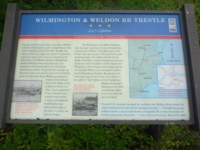
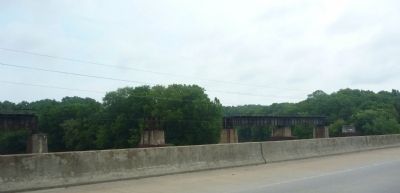
The Wilmington and Weldon Railroad was the most important of the railroads that intersected in Weldon. From Wilmington, the South's last open seaport, this railroad became an increasingly vital supply corridor for the Army of Northern Virginia during the last years of the war. After blockade runners slipped into Wilmington, their cargoes were transported by rail through Weldon to the besieged Confederates in Petersburg, Virginia.
this page online
"Should Col. Sumner succeed in reaching the Weldon (Rail) Road, he will be instructed to do all the damage possible… It might be practicable to destroy any accumulation of supplies the enemy may have collected south of the Roanoke." - Gen. Ulysses S. Grant, March 27, 1865
Erected by North Carolina Civil War Trails.
Topics and series. This historical marker is listed in this topic list: War, US Civil. In addition, it is included in the North Carolina Civil War Trails series list. A significant historical date for this entry is March 27, 1865.
Location. 36° 25.784′ N, 77° 35.54′ W. Marker is in Weldon, North Carolina, in Halifax County. It is on U.S. 158/301 north of Sycamore Street, on the left when traveling north. Touch for map. Marker is at or near this postal address: 136 US-301, Weldon NC 27890, United States of America. Touch for directions.

Regionally, this marker is in the Coastal Plain. It is also in the American South and
Photographed by Devry Becker Jones (CC0), December 27, 2025
2. Wilmington & Weldon RR Trestle Marker
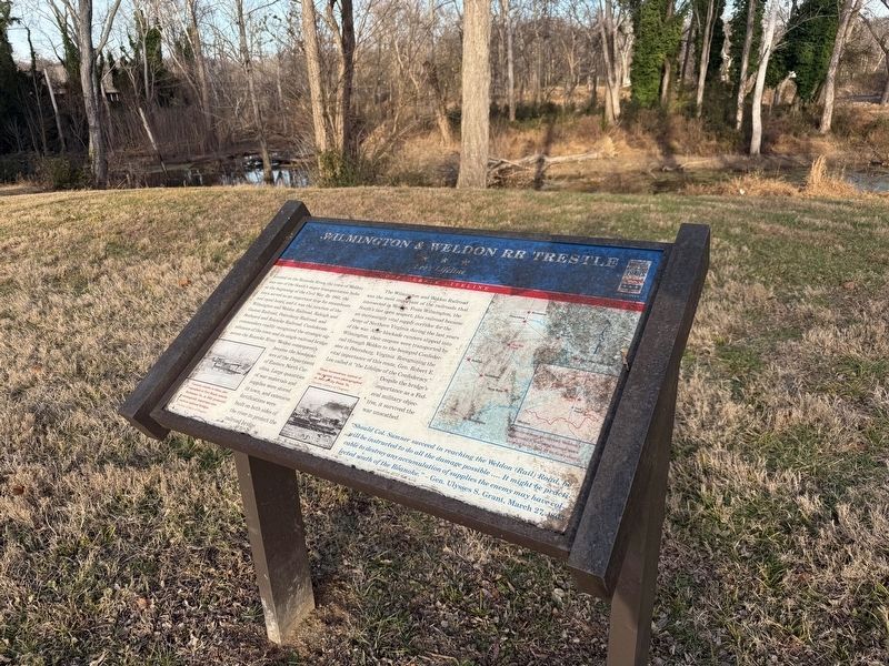
The marker has weathered but is still generally legible.
Other nearby markers. At least 8 other markers are within walking distance of this marker: Welcome to The Roanoke Canal Museum and Trail / Canal Trail Map (about 700 feet away, measured in a direct line); Conservation Pays Off (about 700 feet away); The Mills at Weldon (about 800 feet away); Roanoke Canal (approx. 0.2 miles away); Roanoke River (approx. 0.2 miles away); Historic Weldon Railroad (approx. 0.2 miles away); First Railroad (approx. 0.2 miles away); Weldon Railroads (approx. ¼ mile away). Touch for a list and map of all markers in Weldon.
Photographed by Dave Twamley, July 17, 2010
3. Wilmington & Weldon RR Trestle Marker
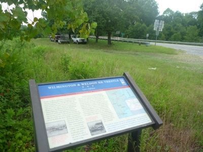
Roanoke River bridge (US-158) visible in background.
Photographed by Dave Twamley, July 17, 2010
4. Wilmington & Weldon RR Trestle Marker
Credits. This page was last revised on December 28, 2025. It was originally submitted on June 16, 2011, by Dave Simpson of Durham, North Carolina. This page has been viewed 1,940 times since then and 74 times this year. Last updated on May 5, 2023, by Michael Buckner of Durham, North Carolina. Photos: 1. submitted on June 16, 2011, by Dave Simpson of Durham, North Carolina. 2. submitted on December 28, 2025, by Devry Becker Jones of Washington, District of Columbia. 3, 4. submitted on June 16, 2011, by Dave Simpson of Durham, North Carolina. • Bernard Fisher was the editor who published this page.
