Downtown West in St. Louis, Missouri — The American Midwest (Upper Plains)
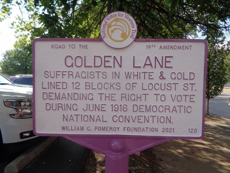
Golden Lane
National Votes for Women Trail
— Road to the 19th Amendment —
Erected 2021 by William G. Pomeroy Foundation. (Marker Number 120.)
Topics. This historical marker is listed in these topic lists: Civil Rights • Women. A significant historical month for this entry is June 1916.
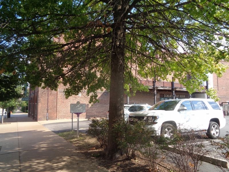
Location. 38° 37.996′ N, 90° 12.598′ W. Marker is in St. Louis, Missouri. It is in Downtown West. Marker is on Locust Street near North 21st Street, on the right when traveling east. Marker is located outside the Schlafly Tap Room parking lot. Touch for map. Marker is at or near this postal address: 2106 Locust St, Saint Louis MO 63103, United States of America. Touch for directions.
Other nearby markers. At least 8 other markers are within walking distance of this marker. Lambert-Deacon-Hull Printing Company Building (a few steps from this marker); Packard Building (about 300 feet away, measured in a direct line); Peerless Building (about 600 feet away); Willys Building (about 700 feet away); Mendenhall Building (approx. 0.2 miles away); Aloe Plaza (approx. ¼ mile away); Ivory Perry (approx. ¼ mile away); Gateway National Bank (approx. ¼ mile away). Touch for a list and map of all markers in St. Louis.
More about this marker. Marker repeats on both sides.
Credits. This page was last revised on May 8, 2023. It was originally submitted on September 18, 2022, by Jason Voigt of Glen Carbon, Illinois. This page has been viewed 107 times since then and 25 times this year. Last updated on May 6, 2023, by Bradley Owen of Morgantown, West Virginia. Photos: 1, 2. submitted on September 18, 2022, by Jason Voigt of Glen Carbon, Illinois. • J. Makali Bruton was the editor who published this page.

