Independence Township near West Middletown in Washington County, Pennsylvania — The American Northeast (Mid-Atlantic)
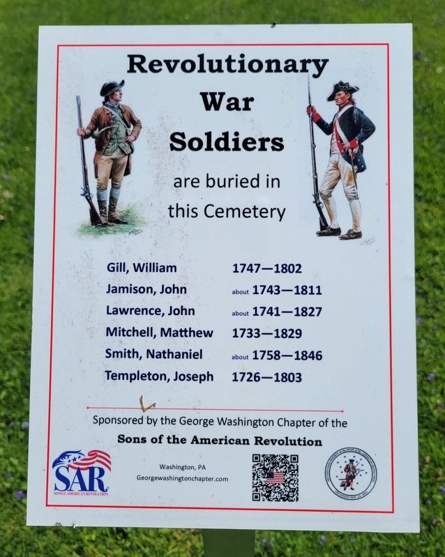
Revolutionary War Soldiers
are buried in this Cemetery
Photographed by Bradley Owen, May 5, 2023
1. Revolutionary War Soldiers Marker
Jamison, John • about 1743-1811
Lawrence, John • about 1741-1827
Mitchell, Matthew • 1733-1829
Smith, Nathaniel • about 1758-1846
Templeton, Joseph • 1726-1803
Erected 2021 by The George Washington Chapter of the Sons of the American Revolution, Washington, PA.
Topics and series. This memorial is listed in these topic lists: Cemeteries & Burial Sites • Patriots & Patriotism • War, US Revolutionary. In addition, it is included in the Sons of the American Revolution (SAR) series list.
Location. 40° 13.309′ N, 80° 27.777′ W. Memorial is near West Middletown, Pennsylvania, in Washington County. It is in Independence Township. It is at the intersection of Scenic Drive (Pennsylvania Route 231) and Mount Hope Ridge Road ( Route 331) when traveling north on Scenic Drive. Marker is located in Mount Hope Cemetery. Touch for map. Memorial is at or near this postal address: 400 Scenic Drive, Claysville PA 15323, United States of America. Touch for directions.

Regionally, this memorial is in Greater Pittsburgh. It is also
this page online
Other nearby markers. At least 8 other markers are within 4 miles of this marker, measured as the crow flies: Mt. Hope United Presbyterian Church (here, next to this marker); Doddridge's Fort (approx. 1.9 miles away); Ralston Thresher (approx. 2.3 miles away); West Middletown Soldiers Memorial (approx. 2.6 miles away); a different marker also named Revolutionary War Soldiers (approx. 2.7 miles away); Independence Community Honor Roll (approx. 3.2 miles away); a different marker also named Revolutionary War Soldiers (approx. 3½ miles away); Zion Church (approx. 3½ miles away). Touch for a list and map of all markers in West Middletown.
Photographed by Bradley Owen, May 5, 2023
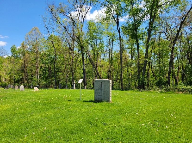
2. Revolutionary War Soldiers Marker
Photographed by Bradley Owen, May 5, 2023
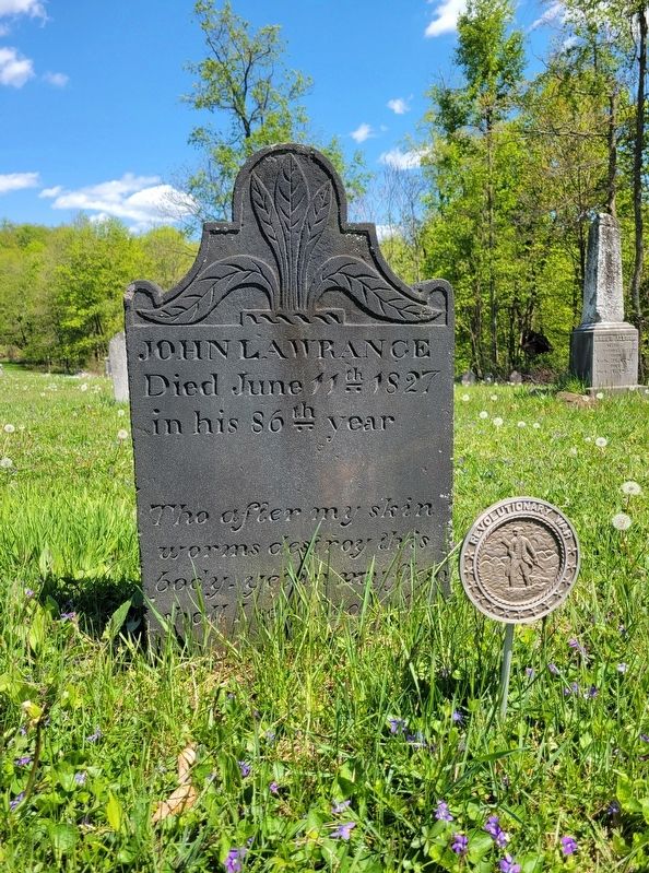
3. Grave of Revolutionary War Soldier
John Lawrence
John Lawrence
Credits. This page was last revised on May 9, 2023. It was originally submitted on May 7, 2023, by Bradley Owen of Morgantown, West Virginia. This page has been viewed 805 times since then and 79 times this year. Photos: 1, 2, 3. submitted on May 7, 2023, by Bradley Owen of Morgantown, West Virginia. • Andrew Ruppenstein was the editor who published this page.
