Viaduct Harbour in Auckland, New Zealand — The North Island (Te Ika-a-Maui)
The Ubiquitous Scow
"Auckland was built on the scow." - Anon
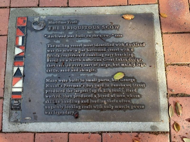
Photographed by Erik Christeson
1. The Ubiquitous Scow Marker
Many were built in small ports, but George Niccol's Freeman's Bay yard in Fanshawe Street produced the largest (up to 210 tons). Hard worked, they produced a breed of men whose skill in handling and loading their often ungainly looking craft with only muscle power was legendary.
Erected by Maritime Museum and Auckland City.
Topics. This historical marker is listed in these topic lists: Industry & Commerce • Waterways & Vessels.
Location. 36° 50.593′ S, 174° 45.696′ E. Marker is in Auckland. It is in Viaduct Harbour. It is on Customs Street West, on the right when traveling west. Marker is in the sidewalk. Touch for map. Marker is at or near this postal address: 113 Customs Street West, Auckland 1010, New Zealand. Touch for directions.

Regionally, it is in Oceania, in Australasia, in Polynesia, in the
this page online
Other nearby markers. At least 8 other markers are within walking distance of this marker: Ferry Building (approx. half a kilometer away); The Dilworth Building (approx. half a kilometer away); Salvation Army (approx. 0.6 kilometers away); General Building (approx. 0.7 kilometers away); Administrator House (approx. 0.7 kilometers away); Lord Freyberg Statue (approx. 0.7 kilometers away); Police Station & Court (approx. 0.7 kilometers away); South African War Memorial (approx. 0.9 kilometers away). Touch for a list and map of all markers in Auckland.
Credits. This page was last revised on July 5, 2023. It was originally submitted on May 7, 2023, by James King of San Miguel, California. This page has been viewed 134 times since then and 16 times this year. Photo 1. submitted on May 7, 2023, by James King of San Miguel, California. • Andrew Ruppenstein was the editor who published this page.
