South Elmwood in Providence in Providence County, Rhode Island — The American Northeast (New England)
Botanical Center
Roger Williams Park
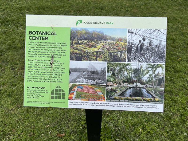
From the naturalized landscape that designer Horace W.S. Cleveland inspired to display gardens and chrysanthemum shows that sprouted over the years, visitors could always find a plant of interest in the Park. The Park historically housed several greenhouses, but over time this location became the hub.
Today's Botanical Center features two greenhouses from a donation by Charles H. Smith in 1964, and two additions made in 2007. With the addition of the Conservatory and Mediterranean Room, the facility is the largest publicly owned indoor-display garden in New England. More than 150 different species and cultivars of plants offer the community a tropical oasis and access to plants not grown in Rhode Island's climate.
Did you know?
Did you realize that you're on an island? Noonan Island was named after former Superintendent of Parks, Martin F. Noonan.
Information and photos courtesy of the RWP Museum of Natural History archives and "The Jewel of Providence by David Marshall.
[Captions:]
From top left, a postcard shows an English garden on Noonan Island, Greenhouse Superintendent Alfred Frye survey the greenhouse in the 1930s; flowers grow abundantly; a floral flag on display in the 1940s; current tropicals in the Conservatory.
Topics.
this page online
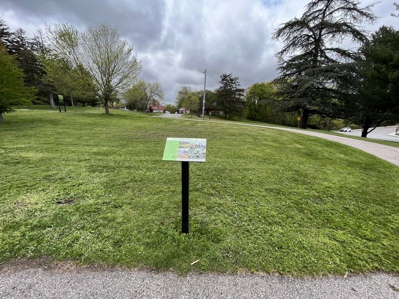
Location. 41° 47.014′ N, 71° 24.422′ W. Marker is in Providence, Rhode Island, in Providence County. It is in South Elmwood. It is on Floral Avenue south of Cladrastis Avenue, on the right when traveling south. Touch for map. Marker is at or near this postal address: 1 Floral Ave, Providence RI 02905, United States of America. Touch for directions.

Regionally, this marker is on Rhode Island’s Narragansett Bay. It is also in the American Northeast, in New England, and on the Eastern Seaboard. Globally, it is in the North Atlantic Region, North America, the Western Hemisphere, the Western World, and the Anglosphere. Historically, it finds itself in what was once one of the original Thirteen Colonies.
Other nearby markers. At least 8 other markers are within walking distance of this marker: Monkey Island (a few steps from this marker); Marconi (approx. ¼ mile away); Dalrymple Boathouse (approx. ¼ mile away); Carousel (approx. 0.4 miles away);
Credits. This page was last revised on May 7, 2023. It was originally submitted on May 7, 2023, by Devry Becker Jones of Washington, District of Columbia. This page has been viewed 185 times since then and 13 times this year. Photos: 1, 2. submitted on May 7, 2023, by Devry Becker Jones of Washington, District of Columbia.
