Lexington in Davidson County, North Carolina — The American South (South Atlantic)
The Homestead
Unexpected Houseguests
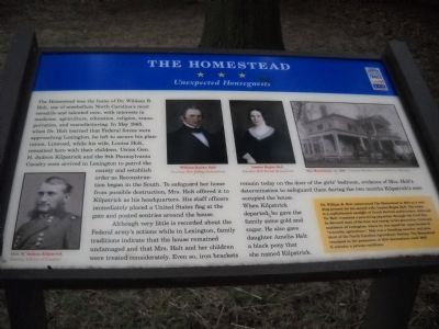
Although very little is recorded about the Federal army’s actions while in Lexington, family traditions indicate that the house remained undamaged and that Mrs. Holt and her children were treated considerately. Even so, iron brackets remain today on the door of the girl’s bedroom, evidence of Mrs. Holt’s determination to safeguard them during the two months Kilpatrick’s men occupied the house. When Kilpatrick departed, he gave the family some gold and sugar. He also gave daughter Amelia Holt a black pony that she named Kilpatrick.
(Sidebar):
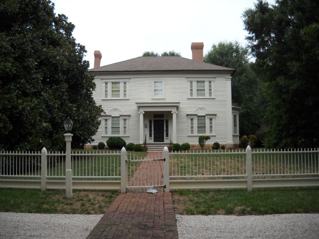
Dr. William R. Holt constructed The Homestead in 1834 as a wedding present for his second wife, Louisa Hogan Holt. The house is a sophisticated example of Greek Revival architecture. Although Dr. Holt remained a practicing physician through the Civil War, he devoted most of his time and energy to his plantation, Linwood, southwest of Lexington, where he was noted for experiments in “scientific agriculture.” Holt was a founding member and president of the North Carolina Agricultural Society. The Homestead remained in the possession of Holt descendants until 1982.
Erected by Civil War Trails.
Topics and series. This historical marker is listed in this topic list: War, US Civil. In addition, it is included in the North Carolina Civil War Trails series list. A significant historical month for this entry is May 1865.
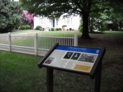
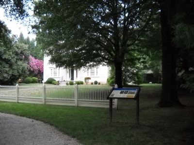
Location. 35° 49.256′ N, 80° 15.429′ W. Marker is in Lexington, North Carolina, in Davidson County. Marker is on South Main Street, on the right when traveling south. The marker is located between West 4th and West 5th Avenues. Touch for map. Marker is at or near this postal address: 402 S Main St, Lexington NC 27292, United States of America. Touch for directions.
Other nearby markers. At least 8 other markers are within walking distance of this marker. Wm. Rainey Holt (a few steps from this marker); Old Davidson County Courthouse (approx. 0.3 miles away); Lexington in the Civil War (approx. 0.3 miles away); Robert F. Sink (approx. 0.3 miles away); City of Lexington (approx. 0.3 miles away); Captain Benjamin Merrill (approx. 0.3 miles away); Davidson County Vietnam War Memorial (approx. 0.3 miles away); Daniel Boone and Gen. Nathanael Greene (approx. 0.3 miles away). Touch for a list and map of all markers in Lexington.
More about this marker. The marker contains paintings of William Rainey Holt and Louisa Hogan Holt, Courtesy Holt Family Descendants, a photograph of Gen. H. Judson Kilpatrick Courtesy Library of Congress, and a photograph of The Homestead, ca. 1910 - Courtesy Davidson County Historical Museum.
Credits. This page was last revised on May 13, 2023. It was originally submitted on August 8, 2010, by Bill Coughlin of Woodland Park, New Jersey. This page has been viewed 1,263 times since then and 10 times this year. Last updated on May 8, 2023, by Michael Buckner of Durham, North Carolina. Photos: 1, 2, 3, 4. submitted on August 8, 2010, by Bill Coughlin of Woodland Park, New Jersey. • J. Makali Bruton was the editor who published this page.


