West Valley City in Salt Lake County, Utah — The American Mountains (Southwest)
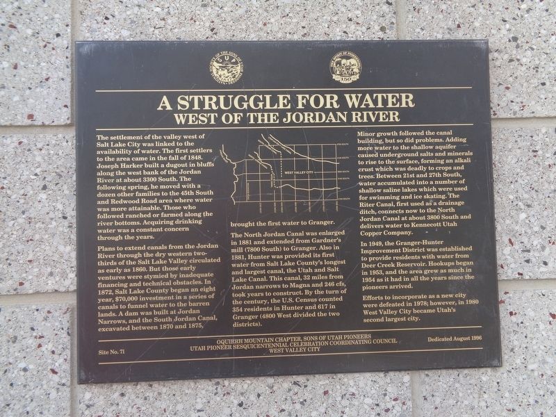
A Struggle For Water
West of the Jordan River
Plans to extend canals from the Jordan River through the dry western two-thirds of the Salt Lake Valley circulated as early as 1860. But those early ventures were stymied by inadequate financing and technical obstacles. In 1872, Salt Lake County began an eight year, $70,000 investment in a sries of canals to funnel water to the barren lands. A dam was built at Jordan Narrows, and the South Jordan Canal, excavated between 1870 and 1875, brought the first water to Granger.
The North Jordan Canal was enlarged in 1881 and extended from Gardner's mill (7800 South) to Granger. Also in 1881, Hunter was provided its first water from Salt Lake County's longest and largest canal, the Utah and Salt Lake Canal. This canal, 32 miles from Jordan narrows to Magna and 246 cfs, took years to construct. By the turn of the century, the U.S. Census counted 354 residents in Hunter and 617 in Granger (4800 West divided the two districts).
Minor growth followed the canal building, but so did problems. Adding more water to the shallow aquifer caused underground salts and minerals to rise to the surface, forming an alkali crust which was deadly to crops and trees. Between 21st and 27th South, water accumulated into a number of shallow saline lakes which were used for swimming and ice skating. The Riter Canal, first used as a drainage ditch, connects now to the North Jordan Canal at about 3800 South and delivers water to Kennecott Utah Copper Company.
,br> In 1949, the Granger-Hunter Improvement District was established to provide residents with water from Deer Creek Reservoir. Hookups began in 1953, and the area grew as much in 1954 as it had in all the years since the pioneers arrived.
Efforts to incorporate as a new city were defeated in 1978; however, in 1980 West Valley City became Utah's second largest city.
Erected 1996 by Sons of Utah Pioneers (Oquirrh Mountain Chapter), Utah Pioneer Sesquicentennial Celebration Coordinating Council West Valley City. (Marker Number 71.)
Topics. This historical marker is listed in these topic lists: Agriculture • Waterways & Vessels. A significant historical year for this entry is 1848.
Location.
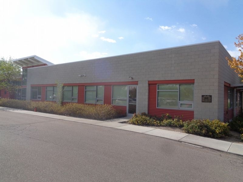
40° 41.821′ N, 111° 59.972′ W. Marker is in West Valley City, Utah, in Salt Lake County. Marker can be reached from West 3500 South. Marker is located at West Valley City Park. Touch for map. Marker is at or near this postal address: 4522 W 3500 S, West Valley City UT 84120, United States of America. Touch for directions.
Other nearby markers. At least 8 other markers are within 5 miles of this marker, measured as the crow flies. Monroe Community School (approx. 0.6 miles away); Early Granger Schools (approx. 0.6 miles away); Hunter (approx. 1.8 miles away); English Fort (approx. 3.7 miles away); Hastings Cutoff - Utah Outlet (Jordan River) (approx. 4.1 miles away); Carlisle Family Historical Marker (approx. 4.1 miles away); Major General George P. Holm (approx. 4.2 miles away); Millrace (approx. 4.9 miles away). Touch for a list and map of all markers in West Valley City.
Credits. This page was last revised on May 9, 2023. It was originally submitted on May 8, 2023, by Jason Voigt of Glen Carbon, Illinois. This page has been viewed 96 times since then and 17 times this year. Photos: 1, 2. submitted on May 8, 2023, by Jason Voigt of Glen Carbon, Illinois.

