Bristol in Bristol County, Rhode Island — The American Northeast (New England)
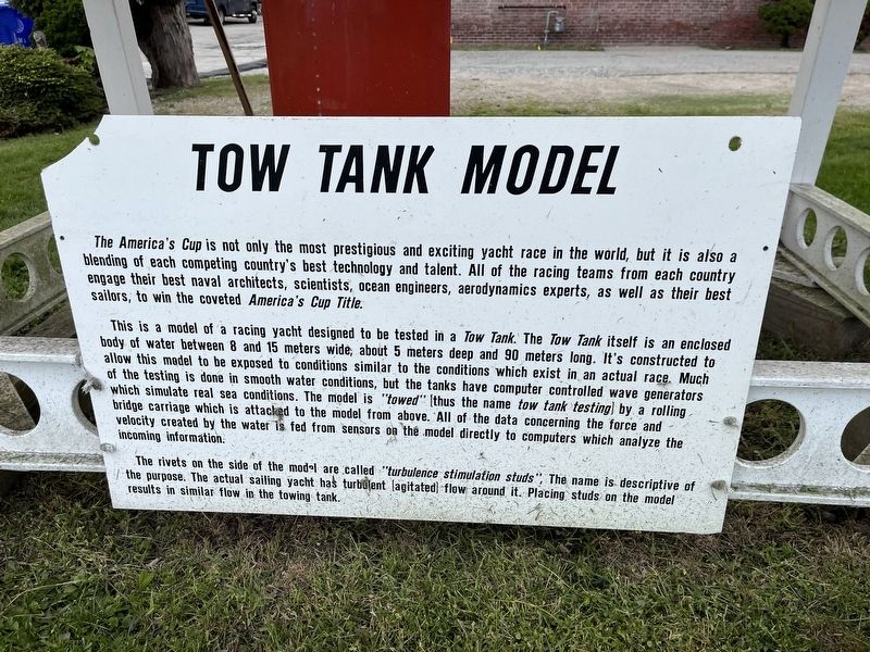
Tow Tank Model
The America's Cup is not only the most prestigious and exciting yacht race in the world, but it is also a blending of each competing country's best technology and talent. All of the racing teams from each country engage their best naval architects, scientists, ocean engineers, aerodynamics experts, as well as their best sailors, to win the coveted America's Cup Title.
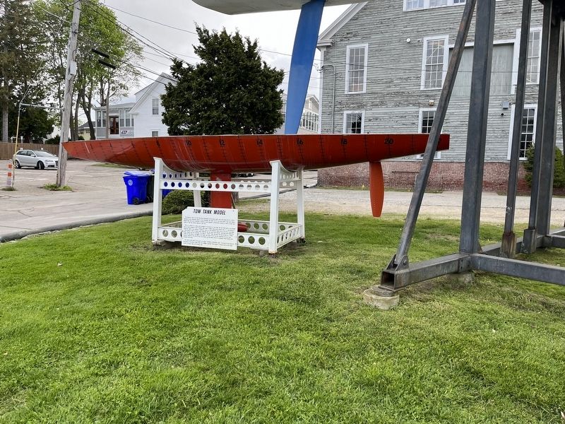
This is a model of a racing yacht designed to be tested in a Tow Tank. The Tow Tank itself is an enclosed body of water between 8 and 15 meters wide, about 5 meters deep and 90 meters long. It's constructed to allow this model to be exposed to conditions similar to the conditions which exist in an actual race. Much of the testing is done in smooth water conditions, but the tanks have computer controlled wave generators which simulate real sea conditions. The model is "towed" (thus the name tow tank testing) by a rolling bridge carriage which is attached to the model from above. All of the data concerning the force and velocity created by the water is fed from sensors on the model directly to computers which analyze the incoming information.
The rivets on the side of the model are called "turbulence simulation studs" The name is descriptive of the purpose. The actual sailing yacht has turbulent (agitated) flow around it. Placing studs on the model results in similar flow in the towing tank.
Erected by Herreshoff Marine Museum.
Topics. This historical marker is listed in these topic lists: Science & Medicine • Sports • Waterways & Vessels.
Location. 41° 39.8′ N, 71° 16.359′ W. Marker is in Bristol, Rhode Island, in Bristol County. Marker is on Burnside Street east of Hope Street (Rhode Island Route 114), on the right when traveling east. Touch for map. Marker is at or near this postal address: 18 Burnside St, Bristol RI 02809, United States of America. Touch for directions.
Other nearby markers. At least 8 other markers are within walking distance of this marker. The Herreshoff Manufacturing Company (within shouting distance of this marker); Coast Guard Memorial (approx. 0.3 miles away); Women Veterans Memorial (approx. 0.4 miles away); Lawson-Raiola Square (approx. 0.4 miles away); St. Michael's Church in Bristol (approx. 0.4 miles away); Firefighters' Memorial Park (approx. 0.4 miles away); In Memoriam (approx. 0.4 miles away); U.S. Merchant Marines (approx. 0.4 miles away). Touch for a list and map of all markers in Bristol.
Credits. This page was last revised on May 9, 2023. It was originally submitted on May 9, 2023, by Devry Becker Jones of Washington, District of Columbia. This page has been viewed 58 times since then and 13 times this year. Photos: 1, 2. submitted on May 9, 2023, by Devry Becker Jones of Washington, District of Columbia.

