Marker Logo HMdb.org THE HISTORICAL
MARKER DATABASE
“Bite-Size Bits of Local, National, and Global History”
Cedarock Park in Burlington in Alamance County, North Carolina — The American South (South Atlantic)
 

Cedarock Historical Farm


Cedarock Historical Farm Marker image. Click for full size.
Photographed By Paul Jordan, August 12, 2010
1. Cedarock Historical Farm Marker
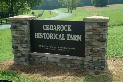
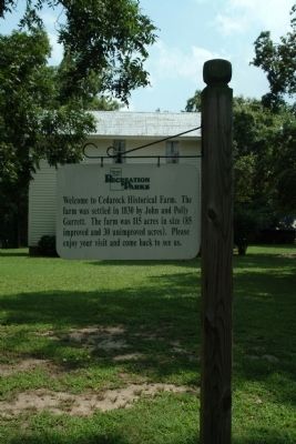
Inscription. Welcome to Cedarock Historical Farm. The farm was settled in 1830 by John and Polly Garrett. The farm was 115 acres in size (85 improved and 30 unimproved acres). Please enjoy your visit and come back to see us.
 
Erected by Alamance County Recreation and Parks.
 
Topics. This historical marker is listed in these topic lists: AgricultureParks & Recreational Areas. A significant historical year for this entry is 1830.
 
Location. 35° 59.337′ N, 79° 26.798′ W. Marker is in Burlington, North Carolina, in Alamance County. It is in Cedarock Park. Marker can be reached from R Dean Coleman Road, one mile north of Friendship Patterson Mill Road. Touch for map. Marker is at or near this postal address: 3916 R Dean Coleman Rd, Burlington NC 27215, United States of America. Touch for directions.
 
Other nearby markers. At least 8 other markers are within 2 miles of this marker, measured as the crow flies. John and Polly Garrett House (a few steps from this marker); Original Garrett House (within shouting distance of this marker); Post Office (within shouting distance of this marker); Carriage Shed (within shouting distance of this marker); The Animals of a Turn of the Century Farm (within shouting distance of this marker); The Corn Crib (within shouting distance of this marker); Friendship Academy and High School
Paid Advertisement
Click on the ad for more information.
Please report objectionable advertising to the Editor.
Click or scan to see
this page online
(approx. 1.2 miles away); Mt. Hermon Meeting House (approx. 1.9 miles away). Touch for a list and map of all markers in Burlington.
 
Cedarock Historical Farm Marker image. Click for full size.
Photographed By Paul Jordan, August 12, 2010
2. Cedarock Historical Farm Marker
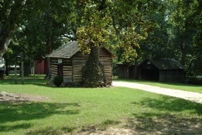
The Original Garrett House image. Click for full size.
Photographed By Paul Jordan, August 12, 2010
3. The Original Garrett House
and the carriage shed and blacksmith building.
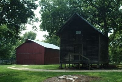
The Barn and the Corncrib image. Click for full size.
Photographed By Paul Jordan, August 12, 2010
4. The Barn and the Corncrib
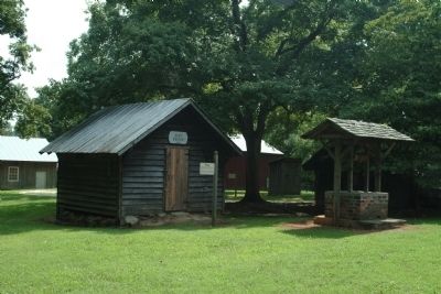
The Post Office and Well image. Click for full size.
Photographed By Paul Jordan, August 12, 2010
5. The Post Office and Well
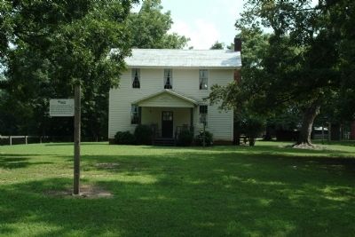
Cedarock Historical Farm image. Click for full size.
Photographed By Paul Jordan, August 12, 2010
6. Cedarock Historical Farm
19th Century farm established by John and Polly Garrett
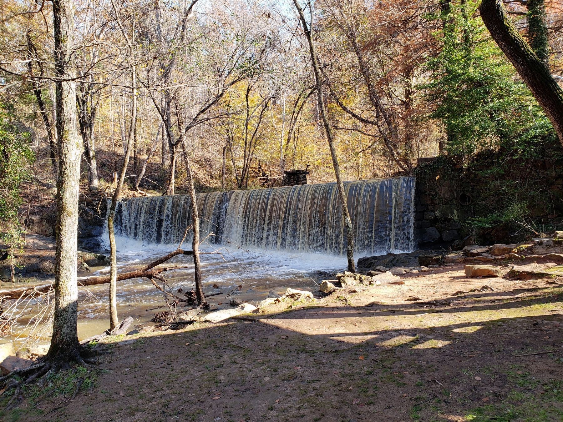
Site of Old Grist Mill image. Click for full size.
Photographed By Paul Folmsbee, November 16, 2018
7. Site of Old Grist Mill
This twelve-foot high dam is reached by a 0.2 mile paved walkway. Water varies from full width to trickle, depending upon recent weather.
 
 
Credits. This page was last revised on May 11, 2023. It was originally submitted on August 22, 2010, by Paul Jordan of Burlington, N. C., U. S. A.. This page has been viewed 1,148 times since then and 56 times this year. Last updated on May 9, 2023, by Michael Buckner of Durham, North Carolina. Photos:   1, 2, 3, 4, 5, 6. submitted on August 22, 2010, by Paul Jordan of Burlington, N. C., U. S. A..   7. submitted on November 17, 2018, by Paul Folmsbee of Cary, North Carolina. • Bernard Fisher was the editor who published this page.
Share this page.  
Share on Tumblr
m=222782

CeraNet Cloud Computing sponsors the Historical Marker Database.
This website earns income from purchases you make after using our links to Amazon.com. We appreciate your support.
Paid Advertisement
Apr. 27, 2024