Near Four Oaks in Johnston County, North Carolina — The American South (South Atlantic)
Confederate Main Charge
Photographed by Bill Coughlin, August 3, 2010
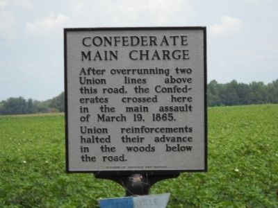
1. Confederate Main Charge Marker
After overrunning two Union lines above this road, the Confederates crossed here in the main assault of March 19, 1865.
Union reinforcements halted their advance in the woods below the road.
Erected 1959 by Division of Archives and History. (Marker Number HHH-11.)
Topics and series. This historical marker is listed in this topic list: War, US Civil. In addition, it is included in the North Carolina Division of Archives and History series list. A significant historical date for this entry is March 19, 1865.
Location. 35° 18.663′ N, 78° 18.339′ W. Marker is near Four Oaks, North Carolina, in Johnston County. It is at the intersection of Harper House Road and Battlefield Road, on the left when traveling east on Harper House Road. The marker is located on the Bentonville Battlefield. Touch for map. Marker is at or near this postal address: 4577 Harper House Rd, Four Oaks NC 27524, United States of America. Touch for directions.

Regionally, this marker is in the Piedmont. It is also in the American South and specifically in the Upper South. Globally, it is in North America, the Western Hemisphere, the Western World, and
this page online
Other nearby markers. At least 8 other markers are within walking distance of this marker: The Confederate Assault On The Morris Farm (approx. 0.2 miles away); The Battle Begins: Confederate Cavalry Blocks The Goldsboro Road (approx. 0.2 miles away); Confederate High Tide (approx. ¼ mile away); Confederate Attacks (approx. ¼ mile away); Heavy Thunder (approx. ¼ mile away); Union Artillery at the Morris Farm (approx. 0.3 miles away); Fighting Below the Road (approx. 0.3 miles away); Cole Farmhouse (approx. 0.4 miles away). Touch for a list and map of all markers in Four Oaks.
Also see . . . Bentonville. American Battlefield Trust website entry:
From March 19-21, 1865, Confederate General Joseph E. Johnston and what remained of the Confederate army attacked and were defeated by Union General William T. Sherman’s army in the Battle of Bentonville, the last large-scale battle of the Civil War. (Submitted on December 28, 2024, by Larry Gertner of New York, New York.)
Photographed by Bill Coughlin, August 3, 2010
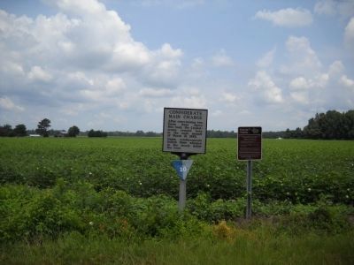
2. Marker on the Bentonville Battlefield
This is marker # 10 along the Bentonville Battlefield Driving Tour.
Photographed by Bill Coughlin, August 3, 2010
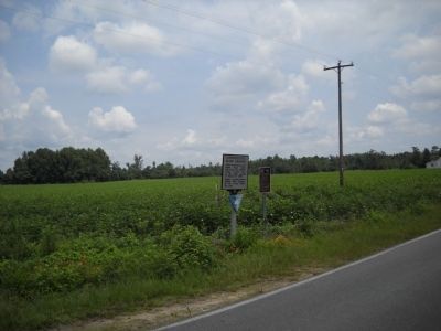
3. Marker on Harper House Road
Credits. This page was last revised on December 29, 2024. It was originally submitted on August 20, 2010, by Bill Coughlin of Woodland Park, New Jersey. This page has been viewed 926 times since then and 28 times this year. Last updated on May 9, 2023, by Michael Buckner of Durham, North Carolina. Photos: 1, 2, 3. submitted on August 20, 2010, by Bill Coughlin of Woodland Park, New Jersey. • J. Makali Bruton was the editor who published this page.
