Elizabethtown in Hardin County, Kentucky — The American South (East South Central)
Three Forts
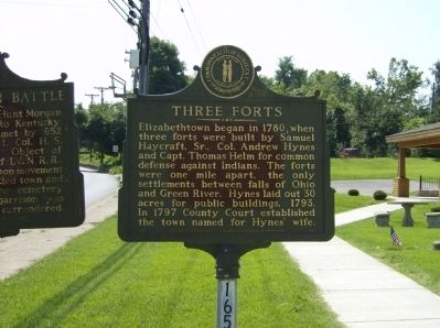
Photographed by Robert H. Moore, II, August 14, 2009
1. Three Forts Marker
Erected by Kentucky Historical Society, Kentucky Department of Transportation. (Marker Number 1651.)
Topics and series. This historical marker is listed in these topic lists: Colonial Era • Forts and Castles • Settlements & Settlers. In addition, it is included in the Kentucky Historical Society series list. A significant historical year for this entry is 1780.
Location. 37° 41.333′ N, 85° 51.252′ W. Marker is in Elizabethtown, Kentucky, in Hardin County. It is on Dixie Highway East (U.S. 31W), on the left when traveling west. Touch for map. Marker is in this post office area: Elizabethtown KY 42701, United States of America. Touch for directions.

Regionally, this marker is in the American South and specifically in the Upper South. Globally,
this page online
Other nearby markers. At least 8 other markers are within walking distance of this marker: Elizabethtown Battle (here, next to this marker); Morgan's Second Raid (here, next to this marker); Bond-Washington School / Julius Rosenwald Fund (here, next to this marker); Elizabethtown City Cemetery (a few steps from this marker); The Battle for Elizabethtown (a few steps from this marker); Hardin County Confederates (about 300 feet away, measured in a direct line); Lincoln-Haycraft Memorial Bridge (about 700 feet away); "Make a Street Fight Out of It" (approx. ¼ mile away). Touch for a list and map of all markers in Elizabethtown.
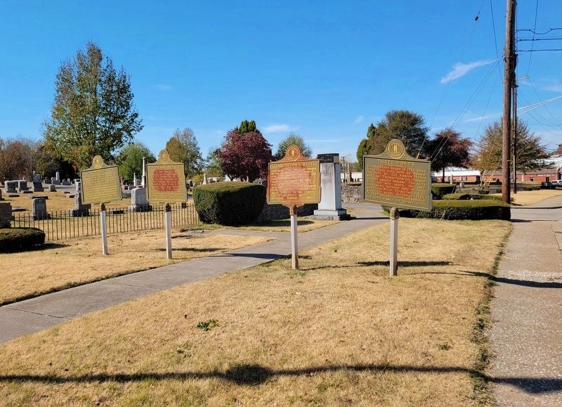
Photographed by Bradley Owen, October 21, 2022
2. Three Forts Marker
Marker is located at the far right.
Credits. This page was last revised on May 12, 2023. It was originally submitted on December 5, 2009, by Robert H. Moore, II of Winchester, Virginia. This page has been viewed 2,041 times since then and 93 times this year. Last updated on May 12, 2023, by Darren Jefferson Clay of Duluth, Georgia. Photos: 1. submitted on December 5, 2009, by Robert H. Moore, II of Winchester, Virginia. 2. submitted on October 21, 2022, by Bradley Owen of Morgantown, West Virginia. • J. Makali Bruton was the editor who published this page.
