Downtown Providence in Providence County, Rhode Island — The American Northeast (New England)
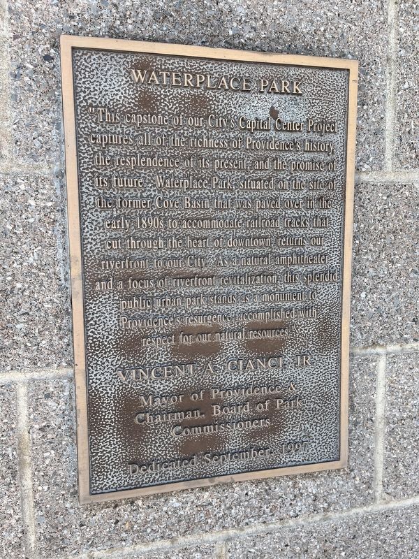
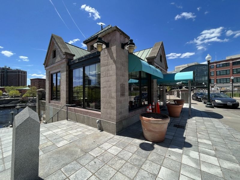
Waterplace Park
"This capstone of our City's Capital Center Project captures all of the richness of Providence's history, the resplendence of its present, and the promise of its future. Waterplace Park, situated on the site of the former Cove Basin that was paved over in the early 1890s to accommodate railroad tracks that cut through the heart of downtown, returns our riverfront to our City. As a natural amphitheater and a focus of riverfront revitalization, this splendid public urban park stands as a monument to Providence's resurgence, accomplished with respect for our natural resources."
Mayor of Providence & Chairman, Board of Park Commissioners
Erected 1997 by City of Providence, Rhode Island.
Topics. This historical marker is listed in these topic lists: Industry & Commerce • Parks & Recreational Areas • Railroads & Streetcars • Waterways & Vessels.
Location. 41° 49.654′ N, 71° 24.851′ W. Marker is in Providence, Rhode Island, in Providence County. It is in Downtown Providence. Marker is on Finance Way east of Francis Street (U.S. 1), on the right when traveling east. Touch for map. Marker is at or near this postal address: 75 Francis St, Providence RI 02903, United States of America. Touch for directions.
Other nearby markers. At least 8 other markers are within walking distance of this marker. Enhancing Our Urban Rivers (about 400 feet away, measured in a direct line); Wall of Hope (about 400 feet away); 1650 (about 400 feet away); 1700 (about 400 feet away); 1775 (about 400 feet away); 1982 / 1989 (about 400 feet away); 1873 - 1909 (about 400 feet away); 1803 (about 400 feet away). Touch for a list and map of all markers in Providence.
Credits. This page was last revised on May 12, 2023. It was originally submitted on May 12, 2023, by Devry Becker Jones of Washington, District of Columbia. This page has been viewed 42 times since then and 6 times this year. Photos: 1, 2. submitted on May 12, 2023, by Devry Becker Jones of Washington, District of Columbia.

