
Crestwood in Oldham County, Kentucky — The American South (East South Central)
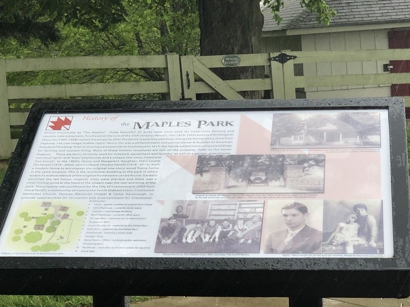
History of the Maples Park
Photographed by Duane and Tracy Marsteller, April 30, 2023
1. History of the Maples Park Marker
this page online
[Captions]
• (Top) Front of original historic house at The Maples circa 1920. The current 1960s home encompasses this historic home. Courtesy the Fanelli family.
• (Middle) Original entrance off Highway 146 to “The Maples” circa the 1920s. Note the inscription of “The Maples” on the left stone pier and “H.L. Ott” (Henry L. Ott) on the right stone pier. Courtesy the Fanelli family.
• (Bottom) Fanelli family at “The Maples” circa 1960; Vincent Fanelli circa 1940; Mary Louise Ott Fanelli and her mother Margaret Klaus Ott circa 1928. Courtesy the Fanelli family.
Topics. This historical marker is listed in these topic lists: Architecture • Parks & Recreational Areas. A significant historical year for this entry is 1917.
Location. 38° 19.422′ N,
Photographed by Duane and Tracy Marsteller, April 30, 2023
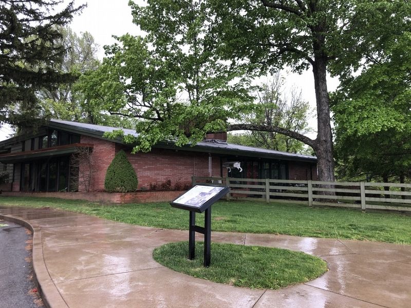
2. History of the Maples Park Marker

Regionally, this marker is in Greater Louisville Area. It is also in the American South, specifically in the Upper South, and in the Ohio River Valley. Globally, it is in North America, the Western Hemisphere, the Western World, and the Anglosphere. Historically, it finds itself in what was once the territory of the Mississippian Culture and also the Antebellum South.
Other nearby markers. At least 8 other markers are within 4 miles of this marker, measured as the crow flies: Farming Community Around The Maples Park (within shouting distance of this marker); CSA Cemetery (approx. 0.9 miles away); Annie Fellows Johnston (approx. 1.1 miles away); Pewee Valley (approx. 1.2 miles away); Confederate Home Cemetery (approx. 1.4 miles away); Richard James Oglesby (approx. 2.7 miles
Photographed by Duane and Tracy Marsteller, April 30, 2023
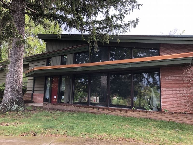
3. The Maples – main house
Photographed by Duane and Tracy Marsteller, April 30, 2023
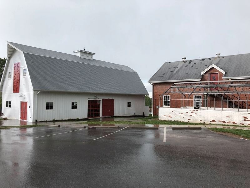
4. The Maples – barns and greenhouse
Credits. This page was last revised on May 13, 2023. It was originally submitted on May 13, 2023, by Duane and Tracy Marsteller of Murfreesboro, Tennessee. This page has been viewed 925 times since then and 89 times this year. Photos: 1, 2, 3, 4. submitted on May 13, 2023, by Duane and Tracy Marsteller of Murfreesboro, Tennessee.
