Crestwood in Oldham County, Kentucky — The American South (East South Central)
Farming Community Around The Maples Park
Inscription.
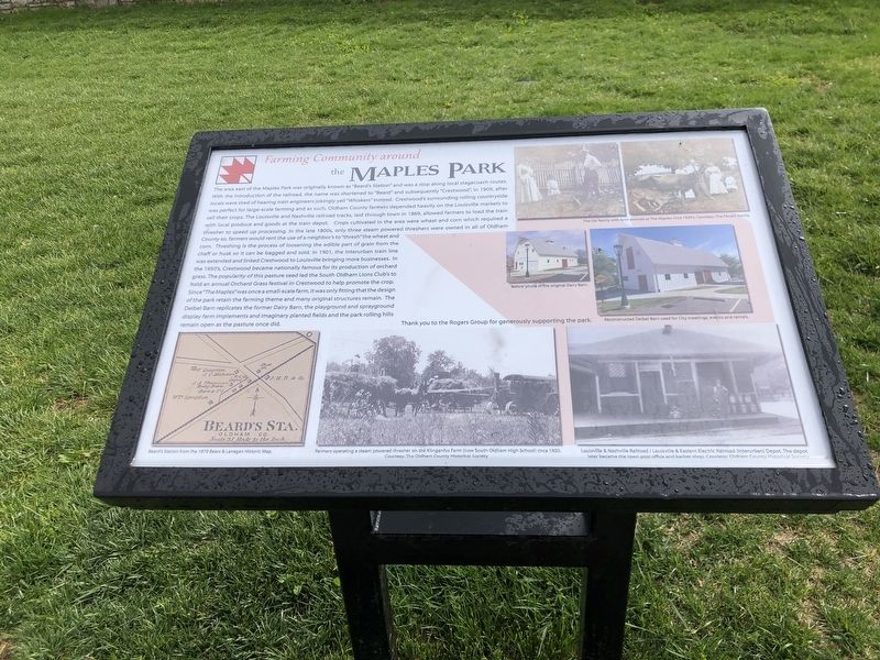
The area east of the Maples Park was originally known as “Beard's Station” and was a stop along local stagecoach routes. With the introduction of the railroad, the name was shortened to “Beard” and subsequently “Crestwood,” in 1909, after locals were tired of hearing train engineers jokingly yell “Whiskers” instead. Crestwood's surrounding rolling countryside was perfect for large-scale farming and as such, Oldham County farmers depended heavily on the Louisville markets to sell their crops. The Louisville and Nashville Railroad tracks, laid through town in 1869, allowed farmers to load the train with local produce and goods at the local train depot. Crops cultivated in the area were wheat and corn which required a thresher to speed up processing. In the late 1800s, only three steam-powered threshers were owned in all of Oldham County so farmers would rent the use of a neighbor's to “thresh” the wheat and corn. Threshing is the process of loosening the edible part of grain from the chaff or husk so it can be bagged and sold. In 1901, the Interurban train line was extended and linked Crestwood to Louisville bringing more business. In the 1950's, Crestwood became nationally famous for its production of orchard grass. The popularity of this pasture seed led the South Oldham Lions Club to hold an annual Orchard Grass festival in Crestwood
to help promote the crop. Since “The Maples” was once a small-scale farm, it was only fitting that the design of the park retain the farming theme and many original structures remain. The Deibel Barn replicates the former Dairy Barn, the playground and sprayground display farm implements and imaginary planted fields and the park's rolling hills remain open as the pasture once did.
[Captions]
Top row: The Ott family with farm animals at The Maples circa 1920s. Courtesy the Fanelli family
Middle row:
• ‘Before’ photo of the Dairy Barn
• Reconstructed Deibel Barn used for city meetings, events and rentals
Bottom row:
• Beard's Station from the 1879 Beers & Lanagan historic map
• Farmers operating a steam-powered thresher on the Kilngenfus Farm (now South Oldham High School) circa 1920. Courtesy: The Oldham County Historical Society
• Louisville & Nashville Railroad/Louisville & Eastern Electric Railroad (interurban) Depot. The depot later became the town post office and barber shop. Courtesy Oldham County Historical Society
Topics. This historical marker is listed in these topic lists: Agriculture • Parks & Recreational Areas. A significant historical year for this entry is 1909.
Location. 38° 19.435′ N, 85° 28.582′ W. Marker is in Crestwood,
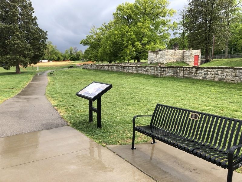
Kentucky, in Oldham County. Marker can be reached from Ballardsville Road (State Highway 22) 0.3 miles west of State Route 329, on the left when traveling west. Marker is in The Maples Park. Touch for map. Marker is at or near this postal address: 6826 KY-22, Crestwood KY 40014, United States of America. Touch for directions.
Other nearby markers. At least 8 other markers are within 5 miles of this marker, measured as the crow flies. History of the Maples Park (within shouting distance of this marker); CSA Cemetery (approx. 0.9 miles away); Annie Fellows Johnston (approx. 1.2 miles away); Pewee Valley (approx. 1.2 miles away); Confederate Home Cemetery (approx. 1.4 miles away); Richard James Oglesby (approx. 2.7 miles away); David Wark Griffith (approx. 3.8 miles away); Isaac Hite's Home / Isaac Hite (approx. 4.1 miles away). Touch for a list and map of all markers in Crestwood.
Credits. This page was last revised on May 13, 2023. It was originally submitted on May 13, 2023, by Duane and Tracy Marsteller of Murfreesboro, Tennessee. This page has been viewed 51 times since then and 7 times this year. Photos: 1, 2. submitted on May 13, 2023, by Duane and Tracy Marsteller of Murfreesboro, Tennessee.

