Near Chappell in Deuel County, Nebraska — The American Midwest (Upper Plains)
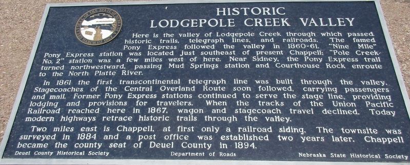
Historic Lodgepole Creek Valley
Photographed by Rev. Ronald Irick, July 16, 2016
1. Historic Lodgepole Creek Valley Marker
Erected by Deuel County Historical
this page online
Topics and series. This historical marker is listed in these topic lists: Railroads & Streetcars • Roads & Vehicles • Settlements & Settlers. In addition, it is included in the Nebraska State Historical Society, and the Pony Express National Historic Trail series lists. A significant historical year for this entry is 1861.
Location. 41° 5.022′ N, 102° 28.261′ W. Marker is near Chappell, Nebraska, in Deuel County. It is at the intersection of State Highway 25A and County Route 165, on the right when traveling north on State Highway 25A. The marker is in the “Chappell Pony Express Park”, with multiple monuments at exit 85 off Interstate 80. Touch for map. Marker is in this post office area: Chappell NE 69129, United States of America. Touch for directions.

Regionally, this marker is in the Nebraska Panhandle. It is also in the American Midwest, in the Corn Belt, on the prairies, on the Great Plains, and specifically on the High Plains. Globally, it is in North America, the Western Hemisphere, the Western World, and the Anglosphere.
Photographed by Rev. Ronald Irick, July 16, 2016
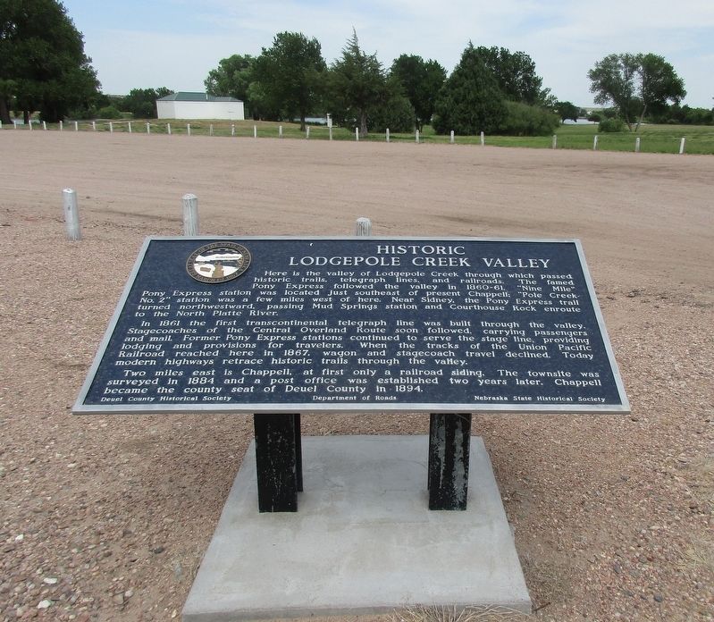
2. Historic Lodgepole Creek Valley Marker
Other nearby markers. At least 8 other markers are within 10 miles of this marker, measured as the crow flies: B-24J Bomber Crash (a few steps from this marker); Yesteryear (approx. 0.6 miles away); Moments in History (approx. 0.6 miles away); Hughes’ Ranch Pony Express Station (approx. 3½ miles away); "Dinky" Locomotive (approx. 9.4 miles away in Colorado); Ovid, Colorado (approx. 9½ miles away in Colorado); See and Do,Off the Byway (approx. 9.6 miles away in Colorado); Prisoners on the Plains / Ride 'Em Cowboy (approx. 9.6 miles away in Colorado). Touch for a list and map of all markers in Chappell.
More about this marker. I believe this marker originally stood in a now abandoned rest area at mile 83 of I-80.
Photographed by Rev. Ronald Irick, July 16, 2016
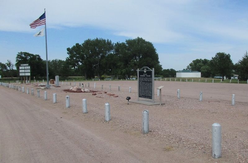
3. Historic Lodgepole Creek Valley Marker
There are multiple markers at this site
Photographed by Rev. Ronald Irick, July 16, 2016
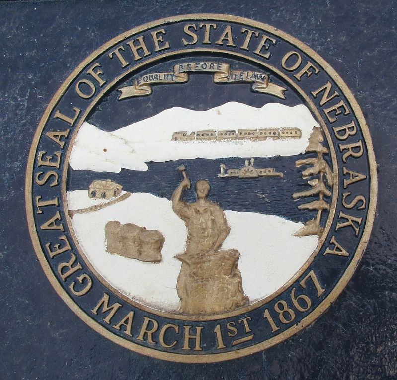
4. Historic Lodgepole Creek Valley Marker
Photographed by Rev. Ronald Irick, July 16, 2016
5. Historic Lodgepole Creek Valley Marker
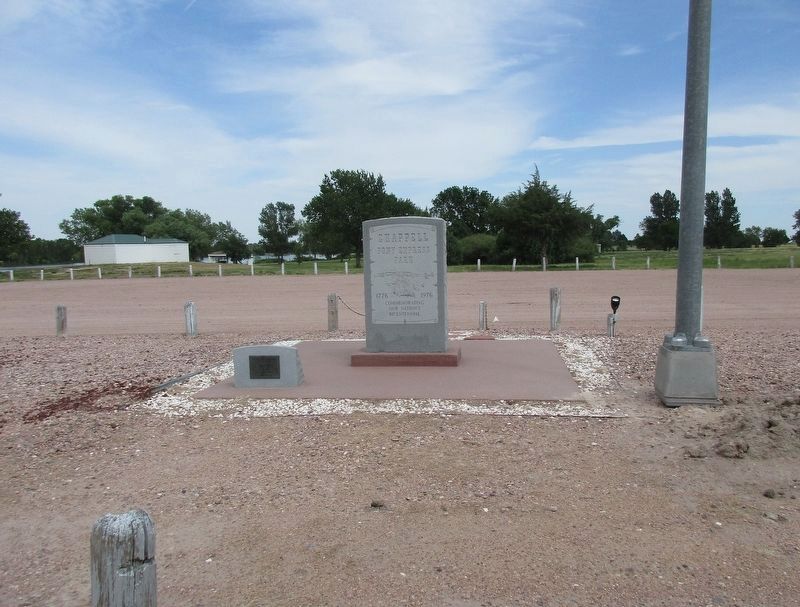
Other markers on the site
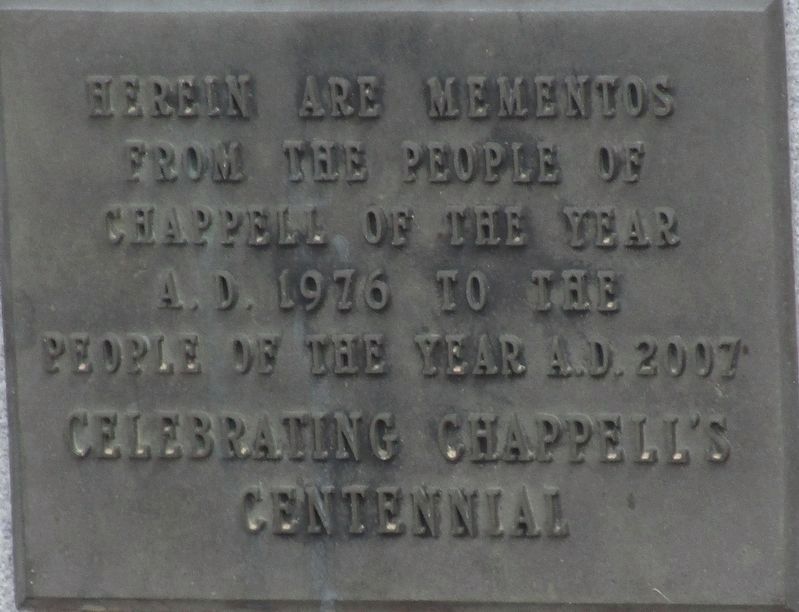
Photographed by Rev. Ronald Irick, July 16, 2016
6. Historic Lodgepole Creek Valley Marker
Adjacent time capsule
Credits. This page was last revised on December 20, 2024. It was originally submitted on November 30, 2016, by Rev. Ronald Irick of West Liberty, Ohio. This page has been viewed 1,141 times since then and 59 times this year. Last updated on May 14, 2023, by Jeff Leichsenring of Garland, Texas. Photos: 1, 2, 3, 4. submitted on November 30, 2016, by Rev. Ronald Irick of West Liberty, Ohio. 5, 6. submitted on December 2, 2016, by Rev. Ronald Irick of West Liberty, Ohio. • J. Makali Bruton was the editor who published this page.
