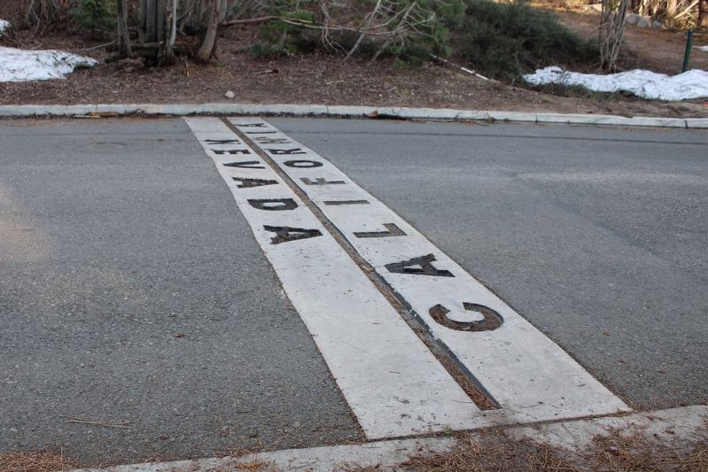
Van Sickle Bi-State Park in South Lake Tahoe in El Dorado County, California — The American West (Pacific Coastal)
Jack’s Ranch
”He was a cowboy. That was one of the things he could do was handle a rope.”
- Ralph Thomas, caretaker at Stateline Stables -
The Heart and Soul of a Cowboy
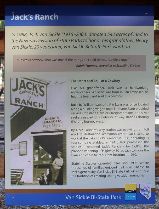
Like his grandfather, Jack was a hardworking entrepreneur. While he was born in San Francisco, he had the heart and soul of a cowboy.
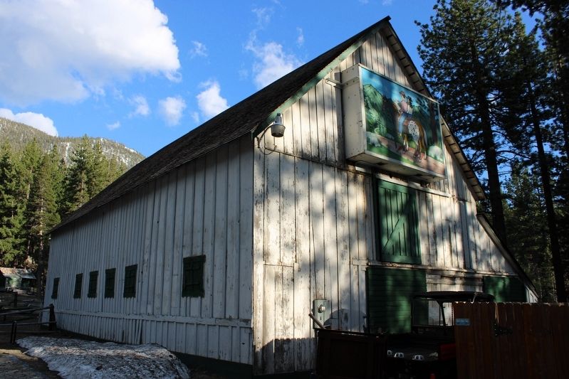
Built by William Lapham, the barn was once located along a bustling wagon road. Lapham’s barn provided services for stage travelers, freight teams, and silver seekers as part of a network of way stations dotting the long journey west.
By 1892, Lapham’s way station was evolving from toll road to destination recreation resort. Jack came to work at the Lakeside Park resort in 1936, operating its tourist riding stables. In 1941, Jack purchased the stables – renamed Jack’s Ranch – for $7,000. The planned widening of Highway 50 led Jack to move the barn and cabin to its current location in 1960.
Stateline Stables operated here until 1993, where thousands of families enjoyed trail rides. Thanks to jack’s generosity, Van Sickle Bi-State Park will continue the tradition of creating lasting vacation memories.
Van Sickle Bi-State Park
Erected by California Tahoe Conservancy & Nevada State Parks.
Topics. This historical marker is listed in these topic lists: Charity & Public Work • Industry & Commerce • Parks & Recreational Areas • Roads & Vehicles. A significant historical year for this entry is 1892.
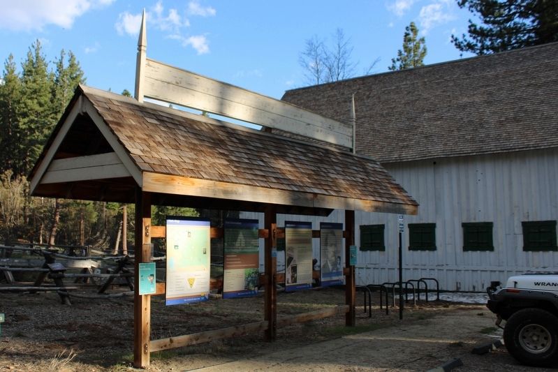
Location. 38° 57.228′ N, 119° 56.312′ W. Marker is in South Lake Tahoe, California, in El Dorado County. It is in Van Sickle Bi-State Park. Marker can be reached from Lake Parkway, on the left when traveling south. The resin marker is mounted in a kiosk in the parking area next to the barn. Touch for map. Marker is at or near this postal address: 30 Lake Parkway, South Lake Tahoe CA 96150, United States of America. Touch for directions.
Other nearby markers. At least 8 other markers are within 2 miles of this marker, measured as the crow flies. Henry Van Sickle (here, next to this marker); Pony Express State Line Crossing (approx. 0.4 miles away in Nevada); The Pony Express (approx. half a mile away in Nevada); Friday’s Added Station (approx. 0.7 miles away in Nevada); Lakeside Beach History (approx. ¾ mile away); Veterans Memorial (approx. 0.8 miles away); Sky Harbor Airport and Casino (approx. 1.6 miles away in Nevada); South Lake Tahoe Library Veterans Memorial (approx. 2 miles away). Touch for a list and map of all markers in South Lake Tahoe.
Related marker. Click here for another marker that is related to this marker. Henry Van Sickle
Also see . . . Van Sickle Bi-State Park. Nevada State Parks
"The ranch’s barn, a circa-1914 log cabin and housekeeping cabins from the 1930s-era Three Pines Motel, were all relocated to their current location in 1960. The Van Sickle family operated the Stateline Stables on the site until 1993 with up to 60 horses taking riders on trails throughout the area, creating unforgettable memories for many of Tahoe’s vacationers."(Submitted on May 16, 2023, by Joseph Alvarado of Livermore, California.)
Credits. This page was last revised on May 16, 2023. It was originally submitted on May 15, 2023, by Joseph Alvarado of Livermore, California. This page has been viewed 93 times since then and 22 times this year. Photos: 1. submitted on May 15, 2023, by Joseph Alvarado of Livermore, California. 2, 3, 4, 5. submitted on May 16, 2023, by Joseph Alvarado of Livermore, California.
