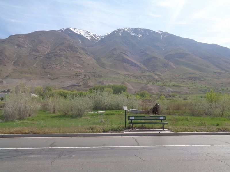
Spring Creek in Provo in Utah County, Utah — The American Mountains (Southwest)
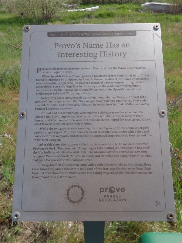
Provo’s Name Has an Interesting History
One in a Series of Events from Provo's History
When Spanish Fathers Dominguez and Escalante visited Utah Valley in 1776, they found it inhabited by Timpanogots Utes. In the native dialect, the name Timpanogots means, roughly, people who live near the mouth of a rocky canyon through which water flows. Since the large lake in the valley and the main river flowing into it were claimed by the Timpanogots Band living nearby, the Spanish named them Timpanogos Lake and Timpanogos River.
Nearly fifty years later, French-Canadian mountain man Etienne Provost led a group of ten trappers down the Timpanogos River and into Utah Valley. They rode around the north end of the lake, followed its outlet into Salt Lake Valley, and met a band of Shoshone warriors.
Provost and his companions were unaware that a year earlier men from the Hudson Bay Fur Company had clashed with these Indians, stolen some of their horses, and killed one of their warriors. The Shoshone longed for revenge and almost all of Provost’s men became their victims.
While the two groups were smoking the pipe of peace, the Shoshone chief gave a prearranged signal. The Shoshone threw off their blankets, under which they had concealed their weapons, and attacked the surprised trappers. Only Provost and one of his men escaped.
After this time, the trappers called the river near which the incident occurred, Proveaux’s Fork. They renamed Timpanogos Lake, calling it Utah Lake in honor of the Ute Indians who lived near it. After the Mormon settlers arrived in 1847, they renamed Proveaux’s Fork the Jordan River, and switched the name “Provo” to what had been known as the Timpanogos River.
In 1849, the first colonists in Utah Valley called their stockade Fort Utah. Since their town site, which was over a mile east of the fort, was further away from Utah Lake but still close to the Provo River, the colony was called the “Settlement on the Provo” and then just “Provo.”
Erected by Rotary International and Provo Parks & Recreation. (Marker Number 54.)
Topics. This historical marker is listed in these topic lists: Native Americans • Settlements & Settlers • Waterways & Vessels. A significant historical year for this entry is 1776.
Location. 40° 11.734′ N, 111° 37.306′ W. Marker is in Provo, Utah, in Utah County. It is in Spring Creek. Marker is on Mountain Vista Parkway south of Industrial Parkway, on the right when traveling north. Touch for map. Marker is at or near this postal address: 3056 Mountain Vista Pkwy, Provo UT 84606, United States of America. Touch for directions.
Other nearby markers. At least 8 other markers are within 2 miles of this marker, measured as the crow flies. First Mills in Utah County (approx. 1.1 miles away); The Nuttall Spring (approx. 1.3 miles away); Fremont Cottonwood (approx. 1.3 miles away); Wetland Shrubs (approx. 1.3 miles away); Why Was This Wetland Made? (approx. 1.3 miles away); Fish in Utah Lake and the Provo River Saved Utah’s Early Settlers from Starvation (approx. 1.3 miles away); A Provo Accident Hastened the Death of President Heber C. Kimball (approx. 1.4 miles away); Springville's First Camp Site (approx. 1.8 miles away). Touch for a list and map of all markers in Provo.
Credits. This page was last revised on May 16, 2023. It was originally submitted on May 16, 2023, by Jason Voigt of Glen Carbon, Illinois. This page has been viewed 342 times since then and 147 times this year. Photos: 1, 2. submitted on May 16, 2023, by Jason Voigt of Glen Carbon, Illinois.

