Near Pinson in Madison County, Tennessee — The American South (East South Central)
Pinson Mounds in the Mid South

Photographed by David Austin
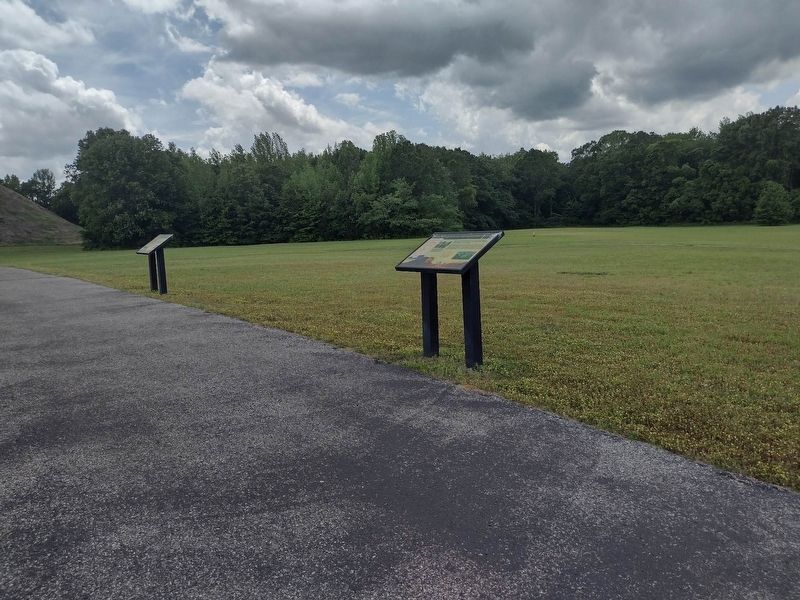
1. Pinson Mounds in the Mid South Marker
Although impresive, none of these centers rival Pinson Mounds in size (about 400 acres) or complexity. Sauls Mound, located near the center of the Pinson complex is among the largest earthworks in the United States. Smaller mound groups are located a short distance from Pinson, upstream and downstream along the Forked Deer River. These were probably associated with the Pinson Complex.
Captions
Pinson's largest mound. Sauls is now covered with trees, but once may have looked like this illustration. It is a very large platform mound located at the center of the site. The view is hypothetical and designed to give an impression of Pinson Mounds in use as central ceremonial place in a broader settlement landscape.
Left: The Savannah Mound site no longer exists. It may have had some affinities with Pinson Mounds. It was likely close in date and had a large central mound with smaller mounds arrayed to two sides. These sides were, however, to the north and south rather than to the east and west. The site was at the present location of Savannah, Tennessee near the Tennessee River bridge.
Read on Thruston's 1890 mapping of the Savannah Mound Group
Erected by Pinson
this page online
Topics. This historical marker is listed in this topic list: Indigenous Peoples and Communities.
Location. 35° 29.842′ N, 88° 40.941′ W. Marker is near Pinson, Tennessee, in Madison County. It is on Pinson Mound Road 0.8 miles south of Ozier Road (Tennessee Route 197). The marker is located on the grounds of the Pinson Mounds State Archaeological Park. Touch for map. Marker is in this post office area: Pinson TN 38366, United States of America. Touch for directions.

Regionally, this marker is in West Tennessee. It is also in the American South, specifically in the Deep South, and specifically in the Upper South. Globally, it is in North America, the Western Hemisphere, the Western World, and the Anglosphere. Historically, it finds itself in what was once the territory of the Mississippian Culture, one of the Confederate States of America, and the Antebellum South.
Other nearby markers. At least 8 other markers are within walking distance of this marker: The Pinson, Bray and Johnston Sites (here, next to this marker); Pinson Mounds in the Mississippi Delta
Photographed by David Austin
2. Pinson Mounds in the Mid South Marker
Photographed by James Hulse, October 1, 2023
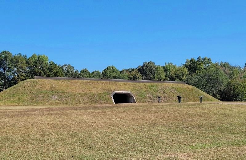
3. The view of the four markers with the museum and visitor’s center in the background
Credits. This page was last revised on October 17, 2023. It was originally submitted on May 16, 2023, by David Austin of Scotts Hill, Tennessee. This page has been viewed 242 times since then and 27 times this year. Photos: 1, 2. submitted on May 16, 2023, by David Austin of Scotts Hill, Tennessee. 3. submitted on October 17, 2023, by James Hulse of Medina, Texas. • James Hulse was the editor who published this page.
