
Provost South in Utah County, Utah — The American Mountains (Southwest)
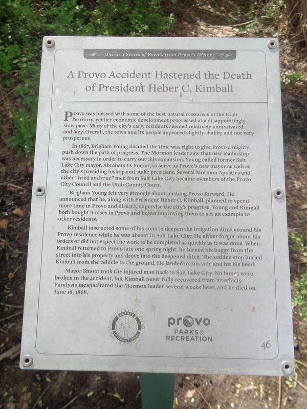
A Provo Accident Hastened the Death of President Heber C. Kimball
One in a Series of Events from Provo's History
Photographed by Jason Voigt, May 9, 2023
1. A Provo Accident Hastened the Death of President Heber C. Kimball Marker
In 1867, Brigham Young decided the time was right to give Provo a mighty push down the path of progress. The Mormon leader saw that new leadership was necessary in order to carry out this expansion. Young called former Salt Lake City mayor, Abraham O. Smoot, to serve as Provo’s new mayor as well as the city’s presiding bishop and stake president. Several Mormon Apostles and other “tried and true” men from Salt Lake City became members of the Provo City Council and the Utah County Court.
Brigham Young felt very strongly about pushing Provo forward. He announced that he, along with President Heber C. Kimball, planned to spend more time in Provo and directly supervise the city’s progress. Young and Kimball both bought houses in Provo and began improving them to set an example to the other residents.
Kimball instructed
this page online
Mayor Smoot took the injured man back to Salt Lake City. No bones were broken in the accident, but Kimball never fully recovered from its effects. Paralysis incapacitated the Mormon leader several weeks later and he died on June 16, 1868.
Erected by Rotary International and Provo Parks & Recreation. (Marker Number 46.)
Topics and series. This historical marker is listed in these topic lists: Religion & Religious Structures • Waterways & Vessels. In addition, it is included in the Rotary International series list. A significant historical date for this entry is June 16, 1868.
Location. 40° 12.845′ N, 111° 37.833′ W. Marker is in Provo, Utah, in Utah County. It is in Provost South.
Photographed by Jason Voigt, May 9, 2023
2. A Provo Accident Hastened the Death of President Heber C. Kimball Marker
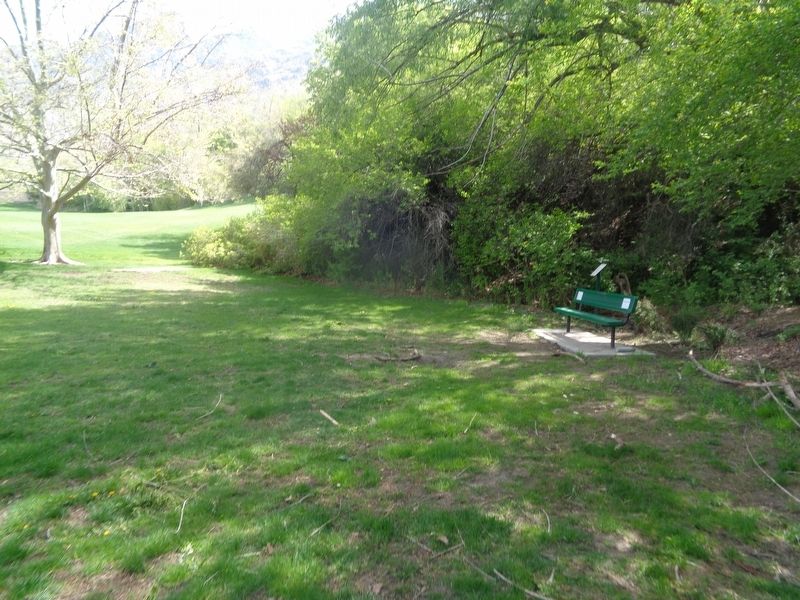
Marker is located at Bicentennial Park.

Regionally, this marker is in Utah’s Wasatch Front. It is also in the American Mountain West and on the Colorado Plateau. Globally, it is in North America, the Rocky Mountains, the Western Hemisphere, the Western World, and the Anglosphere. Historically, it finds itself in what was once New Spain and also Mexico’s Alta California.
Other nearby markers. At least 8 other markers are within 2 miles of this marker, measured as the crow flies: Fish in Utah Lake and the Provo River Saved Utah’s Early Settlers from Starvation (about 300 feet away, measured in a direct line); Why Was This Wetland Made? (about 500 feet away); The Nuttall Spring (about 500 feet away); Wetland Shrubs (about 500 feet away); Fremont Cottonwood (about 500 feet away); Pioneer Burial Grounds (approx. one mile away); History of Scott Memorial (approx. one mile away); Provo’s Name Has an Interesting History (approx. 1.4 miles away). Touch for a list and map of all markers in Provo.
Credits. This page was last revised on May 16, 2023. It was originally submitted on May 16, 2023, by Jason Voigt of Glen Carbon, Illinois. This page has been viewed 404 times since then and 34 times this year. Photos: 1, 2. submitted on May 16, 2023, by Jason Voigt of Glen Carbon, Illinois.
