Rock Canyon in Provo in Utah County, Utah — The American Mountains (Southwest)
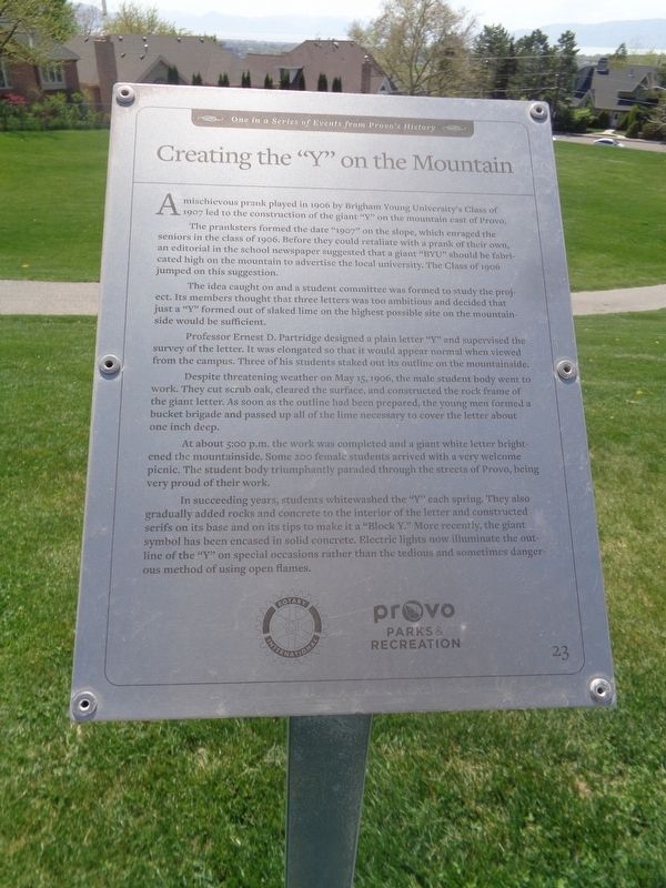
Creating the “Y” on the Mountain
One in a Series of Events from Provo's History
Photographed by Jason Voigt, May 9, 2023
1. Creating the “Y” on the Mountain Marker
The pranksters formed the date “1907” on the slope, which enraged the seniors in the class of 1906. Before they could retaliate with a prank of their own, an editorial in the school newspaper suggested that a giant “BYU” should be fabricated high on the mountain to advertise the local university. The class of 1906 jumped on this suggestion.
The idea caught on and a student committee was formed to study the project. Its members thought that three letters was too ambitious and decided that just a “Y” formed out of slaked lime on the highest possible site on the mountainside would be sufficient.
Professor Ernest D. Partridge designed a plain letter “Y” and supervised the survey of the letter. It was elongated so that it would appear normal when viewed from the campus. Three of his students staked out its outline on the mountainside.
Despite threatening weather on May 15, 1906, the make student body went to work. They cut scrub oak, cleared the surface, and constructed
this page online
At about 5:00 p.m. the work was completed and a giant white letter brightened the mountainside. Some 200 female students arrived with a very welcome picnic. The student body triumphantly paraded through the street of Provo, being very proud of their work.
In succeeding years, students whitewashed the “Y” each spring. They also gradually added rocks and concrete to the interior of the letter and constructed serifs on it’s base and on its tops to make it a “Block Y.” More recently, the giant symbol has been encased in solid concrete. Electric lights now illuminate the outside of the “Y” on special occasions rather than the tedious and sometimes dangerous method of using open flames.
Erected by Rotary International and Provo Parks & Recreation. (Marker Number 23.)
Topics and series. This historical marker is listed in this topic list: Man-Made Features. In addition, it is included in the Rotary International series list. A significant historical date for this entry is May 15, 1906.
Location. 40° 15.981′ N,
Photographed by Jason Voigt, May 9, 2023
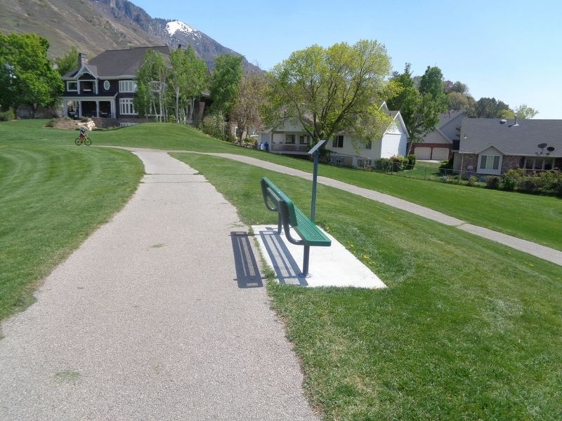
2. Creating the “Y” on the Mountain Marker
Marker is located at Rock Canyon Park.

Regionally, this marker is in Utah’s Wasatch Front. It is also in the American Mountain West and on the Colorado Plateau. Globally, it is in North America, the Rocky Mountains, the Western Hemisphere, the Western World, and the Anglosphere. Historically, it finds itself in what was once New Spain and also Mexico’s Alta California.
Other nearby markers. At least 8 other markers are within walking distance of this marker: Carp Not Native to Utah Lake; Introduced in 1882 (within shouting distance of this marker); Provo’s North Park Had a Community Ice Skating Rink in the 1930s (about 300 feet away, measured in a direct line); Choosing the Site of Provo’s First Tabernacle Caused Some Controversy (about 400 feet away); Provo Had a “Pest House” for Those with Communicable Diseases
Photographed by Jason Voigt, May 9, 2023
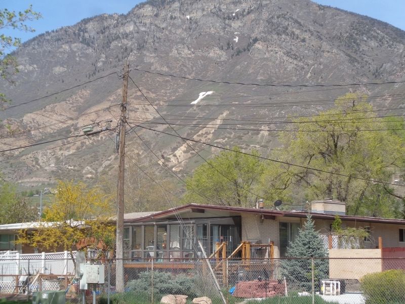
3. The Y Mountain
As seen from Memorial Park. This can be seen all throughout the city of Provo
Credits. This page was last revised on May 18, 2023. It was originally submitted on May 18, 2023, by Jason Voigt of Glen Carbon, Illinois. This page has been viewed 334 times since then and 36 times this year. Photos: 1, 2, 3. submitted on May 18, 2023, by Jason Voigt of Glen Carbon, Illinois.
