Orangeburg in Orangeburg County, South Carolina — The American South (South Atlantic)
Wilkinson High School
Photographed by Dave W, May 17, 2023
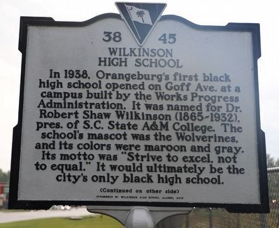
1. Wilkinson High School Marker - Side 1
In 1938, Orangeburg's first black high school opened on Goff Ave. at a campus built by the Works Progress Administration. It was named for Dr. Robert Shaw Wilkinson (1865-1932), pres. of S.C. State A&M College. The school's mascot was the Wolverines, and its colors were maroon and gray. Its motto was "Strive to excel, not to equal." It would ultimately be the city's only black high school.
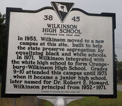
In 1953, Wilkinson moved to a new campus at this site, built to help the state preserve segregation by equalizing black and white schools. In 1971, Wilkinson integrated with the white high school to form Orangeburg-Wilkinson High School. Grades 9-10 attended this campus until 1973 when it became a junior high school, later named for Dr. Robert E. Howard. Wilkinson principal from 1952-1971.
Erected 2019 by South Carolina Department of Archives and History, sponsored by Wilkinson High School Alumni. (Marker Number 38-45.)
Topics and series. This historical marker is listed in these topic lists: African Americans • Civil Rights • Education. In addition, it is included in the South Carolina Historical Markers series
this page online
Location. 33° 29.998′ N, 80° 50.328′ W. Marker is in Orangeburg, South Carolina, in Orangeburg County. It is at the intersection of Belleville Road (South Carolina Route S-38-29) and Mingo Street, on the right when traveling south on Belleville Road. Touch for map. Marker is at or near this postal address: 1255 Belleville Rd, Orangeburg SC 29115, United States of America. Touch for directions.

Regionally, this marker is in the Lowcountry and in Santee Cooper Country. It is also in the American South and specifically in the Deep South. Globally, it is in North America, the Western Hemisphere, the Western World, and the Anglosphere. Historically, it finds itself in what was once the territory of the Mississippian Culture, one of the original Thirteen Colonies, one of the Confederate States of America, and the Antebellum South.
Other nearby markers. At least 8 other markers are within one mile of this marker, measured as the crow flies: Felton Training School & Teacherage (approx. 0.7 miles away); a different marker also named Wilkinson High School (approx. ¾ mile away);
Photographed by Dave W, May 17, 2023
2. Wilkinson High School Marker - Side 2
Photographed by Dave W, May 17, 2023
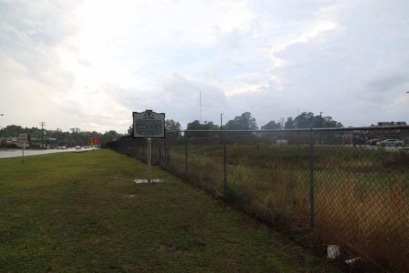
3. Wilkinson High School Marker
Credits. This page was last revised on January 25, 2026. It was originally submitted on May 18, 2023, by Dave W of Co, Colorado. This page has been viewed 980 times since then and 83 times this year. Photos: 1, 2, 3. submitted on May 18, 2023, by Dave W of Co, Colorado. • Bernard Fisher was the editor who published this page.
