Menomonee Falls in Waukesha County, Wisconsin — The American Midwest (Great Lakes)
Mill Pond Park
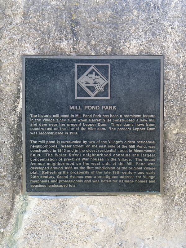
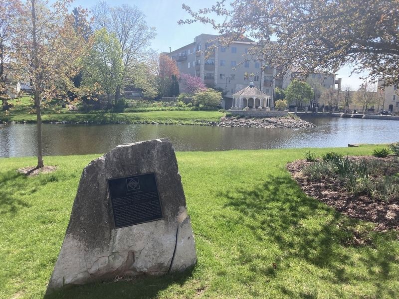
The mill pond is surrounded by two of the Village's oldest residential neighborhoods. Water Street, on the east side of the Mill Pond, was constructed in 1843 and is the oldest residential street in Menomonee Falls. The Water Street neighborhood contains the largest concentration of pre-Civil War houses in the Village. The Grand Avenue neighborhood on the west side of the Mill Pond was developed around 1886 as the first subdivision of the original Village plat. Reflecting the prosperity of the late 19th century and early 20th century, Grand Avenue was a prestigious address for Village merchants and professionals and was noted for its large homes and spacious landscaped lots.
Topics. This historical marker is listed in these topic lists: Industry & Commerce • Parks & Recreational Areas • Waterways & Vessels. A significant historical year for this entry is 1838.
Location. 43° 10.816′ N, 88° 6.894′ W. Marker is in Menomonee Falls, Wisconsin, in Waukesha County. Marker can be reached from Main Street east of Grand Avenue, on the left when traveling east. Touch for map. Marker is in this post office area: Menomonee Falls WI 53051, United States of America. Touch for directions.
Other nearby markers. At least 8 other markers are within walking distance of this marker. Frederick Nehs Mill and Mill Dam (about 300 feet away, measured in a direct line); Third Street Bridge (about 600 feet away); Menomonee River and Lower Falls (approx. ¼ mile away); Brogan Cabin (approx. 0.9 miles away); Steichen House (approx. 0.9 miles away); Koch House (approx. 0.9 miles away); Sunnyside School Bell Tower Replica (approx. 0.9 miles away); School House (approx. 0.9 miles away). Touch for a list and map of all markers in Menomonee Falls.
Credits. This page was last revised on May 19, 2023. It was originally submitted on May 18, 2023, by Connor Olson of Kewaskum, Wisconsin. This page has been viewed 103 times since then and 43 times this year. Photos: 1, 2. submitted on May 18, 2023, by Connor Olson of Kewaskum, Wisconsin. • J. Makali Bruton was the editor who published this page.

