
Foot Hills in Provo in Utah County, Utah — The American Mountains (Southwest)
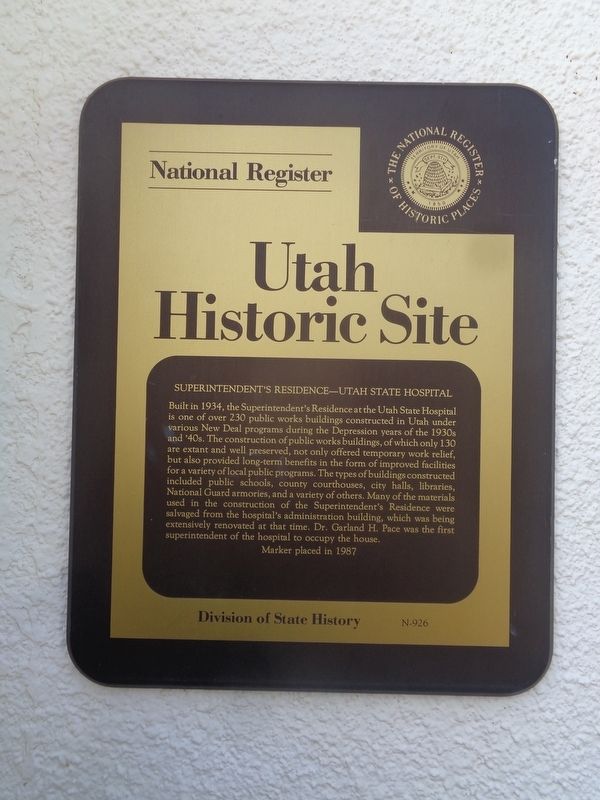
Superintendent's Residence - Utah State Hospital
Utah Historic Site
Photographed by Jason Voigt, May 9, 2023
1. Superintendent's Residence - Utah State Hospital Marker
Erected 1987 by Division of State History. (Marker Number N-926.)
Topics. This historical marker is listed in this topic list: Science & Medicine. A significant historical year for this entry is 1934.
Location. 40° 14.035′ N, 111° 38.401′ W.
this page online

Regionally, this marker is in Utah’s Wasatch Front. It is also in the American Mountain West and on the Colorado Plateau. Globally, it is in North America, the Rocky Mountains, the Western Hemisphere, the Western World, and the Anglosphere. Historically, it finds itself in what was once New Spain and also Mexico’s Alta California.
Other nearby markers. At least 8 other markers are within walking distance of this marker: Utah Territorial Insane Asylum Came to Provo in 1885 (approx. 0.2 miles away); Harmon Park (approx. ¼ mile away); Fire Destroys Brigham Young Academy Building (approx. ¼ mile away); Early Residents of Provo lacked Land Titles (approx. ¼ mile away); Dr. Barney Clark (approx. ¼ mile away); A Tragedy at the Site of the Provo Lime Kiln (approx. ¼ mile away);
Photographed by Jason Voigt, May 9, 2023
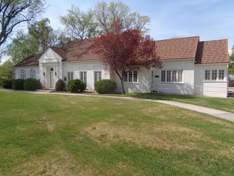
2. Superintendent's Residence - Utah State Hospital Marker
Marker is mounted to the Utah State Hospital Museum building.
Credits. This page was last revised on May 19, 2023. It was originally submitted on May 19, 2023, by Jason Voigt of Glen Carbon, Illinois. This page has been viewed 271 times since then and 35 times this year. Photos: 1, 2. submitted on May 19, 2023, by Jason Voigt of Glen Carbon, Illinois.
