Long Branch in Monmouth County, New Jersey — The American Northeast (Mid-Atlantic)
New York and Long Branch Railroad
Historic Railroad Corridor

Photographed By Devry Becker Jones (CC0), October 29, 2022
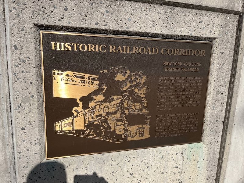
1. New York and Long Branch Railroad Marker
The New York and Long Branch Railroad (NY & LB RR) corridor established the first all rail mass transportation link between New York City and the New Jersey shore. The corridor extends for nearly 40 miles. In 1882, the NY & LB RR cobbled together six separate rail lines creating a continuous link to New Jersey shore communities from Perth Amboy in Middlesex County to Bay Head in Ocean County.
The period of significance for the NY & LB RR began in 1872 with the incorporation of the New Egypt and Farmingdale Railroad and ended in 1954 with the opening of the Garden State Parkway in Monmouth and Ocean Counties, signalling the decline of railroad ridership and the increase in automobile use.
Topics. This historical marker is listed in these topic lists: Railroads & Streetcars • Roads & Vehicles. A significant historical year for this entry is 1882.
Location. 40° 16.199′ N, 73° 59.722′ W. Marker is in Long Branch, New Jersey, in Monmouth County. Marker is on Park Avenue just west of Lincoln Court, on the right when traveling west. Touch for map. Marker is at or near this postal address: 197 Park Ave, Long Branch NJ 07740, United States of America. Touch for directions.
Other nearby markers. At least 8 other markers are within 2 miles of this marker, measured as the crow flies. James A. Garfield (approx. 0.6 miles away); Church of the Presidents (approx. 0.6 miles away); Dorothy Parker Birthplace (approx. 0.9 miles away); Brinley Grist Mill (approx. 1.2 miles away); a different marker also named Brinley Grist Mill (approx. 1.2 miles away); Corner of Ocean and Brighton Avenues (approx. 1.2 miles away); Historic Site of Old Free Church Cemetery (approx. 1.3 miles away); Norman Mailer 1923 - 2007 / Scarboro Hotel 1882 - 1941 (approx. 1.7 miles away). Touch for a list and map of all markers in Long Branch.

Photographed By Devry Becker Jones (CC0), October 29, 2022
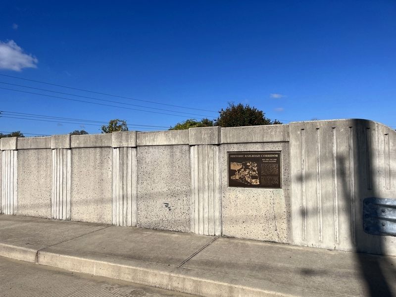
2. New York and Long Branch Railroad Marker
Credits. This page was last revised on May 23, 2023. It was originally submitted on November 2, 2022, by Devry Becker Jones of Washington, District of Columbia. This page has been viewed 238 times since then and 50 times this year. Last updated on May 20, 2023, by Carl Gordon Moore Jr. of North East, Maryland. Photos: 1, 2. submitted on November 2, 2022, by Devry Becker Jones of Washington, District of Columbia. • J. Makali Bruton was the editor who published this page.