Zanesville in Muskingum County, Ohio — The American Midwest (Great Lakes)
Historical Flood Mark
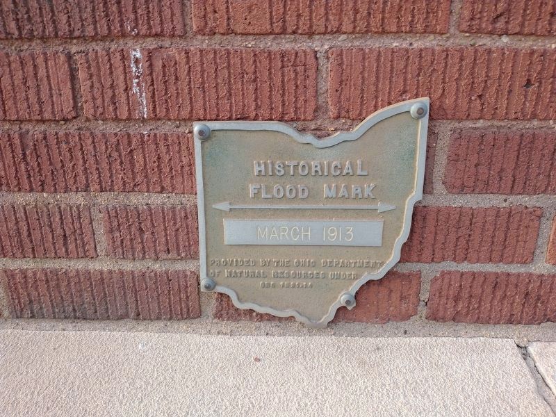
Photographed by Craig Doda, September 2, 2022
1. Historical Flood Mark Marker
Flood Mark
March 1913
Erected by Ohio Department of Natural Resources. (Marker Number 1521.14.)
Topics. This historical marker is listed in these topic lists: Disasters • Waterways & Vessels. A significant historical month for this entry is March 1913.
Location. 39° 56.514′ N, 82° 0.423′ W. Marker is in Zanesville, Ohio, in Muskingum County. It is on Market Street west of North 5th Street, on the right when traveling west. Touch for map. Marker is at or near this postal address: 401 Market St, Zanesville OH 43701, United States of America. Touch for directions.

Regionally, this marker is in the American Midwest, in Appalachia, and specifically in Northern Appalachia. Globally, it is in North America, the Western Hemisphere, the Western World, and the Anglosphere. Historically, it finds itself in what was once the Haudenosaunee (Iroquois) Confederacy, the territory of the Mississippian Culture, and the Northwest Territory.
Other nearby markers. At least 8 other markers are within walking distance of this marker: 100th Anniversary of the Flood of 1913 (here, next to this marker); Architect Cass Gilbert
this page online
Another marker is no longer nearby. Lodge of Amity No. 5 Free and Accepted Masons (was about 300 feet away, measured in a direct line but has been permanently removed).
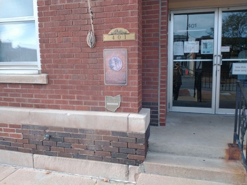
Photographed by Craig Doda, September 2, 2022
2. Historical Flood Mark Marker
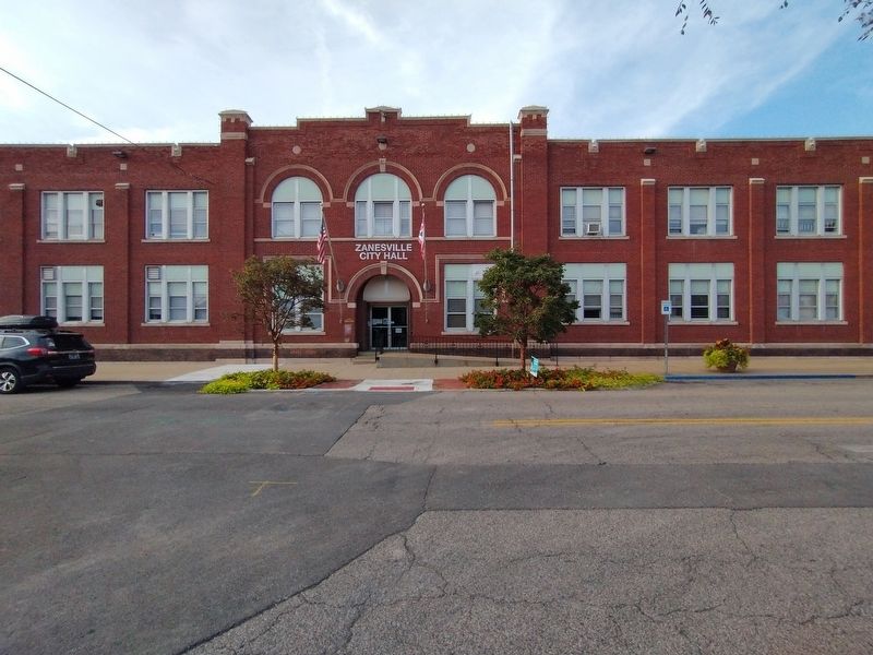
Photographed by Craig Doda, September 2, 2022
3. Zanesville City Hall
Credits. This page was last revised on May 23, 2023. It was originally submitted on September 10, 2022, by Craig Doda of Napoleon, Ohio. This page has been viewed 316 times since then and 28 times this year. Last updated on May 22, 2023, by Bradley Owen of Morgantown, West Virginia. Photos: 1, 2, 3. submitted on September 10, 2022, by Craig Doda of Napoleon, Ohio. • J. Makali Bruton was the editor who published this page.
