Old Sacramento in Sacramento County, California — The American West (Pacific Coastal)
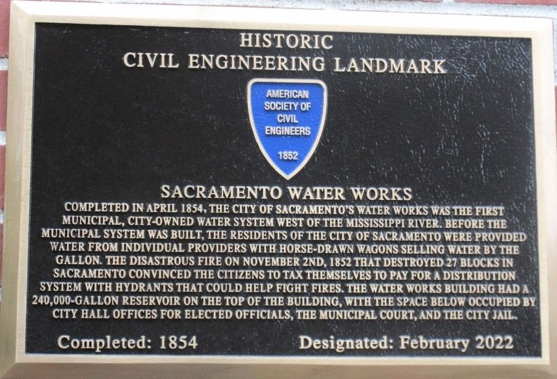
Sacramento Water Works
Historic Civil Engineering Landmark
Photographed by Rev. Ronald Irick, May 4, 2023
1. Sacramento Water Works Marker
Erected 2022.
Topics and series. This historical marker is listed in this topic list: Man-Made Features. In addition, it is included in the ASCE Civil Engineering Landmarks series list. A significant historical month for this entry is April 1854.
Location. 38° 35.077′ N, 121° 30.294′ W. Marker is in Sacramento, California,
this page online

Regionally, this marker is in the Sacramento Valley and specifically in the Central Valley. It is also on the American Pacific Coast. Globally, it is in North America, on the Ring of Fire, on the Pacific Rim, in the Western Hemisphere, in the Western World, and in the Anglosphere. Historically, it finds itself in what was once New Spain and also Mexico’s Alta California.
Other nearby markers. At least 8 other markers are within walking distance of this marker: 1854 City Hall and Waterworks (a few steps from this marker); 1854 Flagpole (a few steps from this marker); Prisoner of the River (within shouting distance of this marker); Eagle Theatre (about 300 feet away); Professor L.A. Lauriet's Assay Office (about 300 feet away); New England Seed Store (about 400
Photographed by Rev. Ronald Irick, May 4, 2023
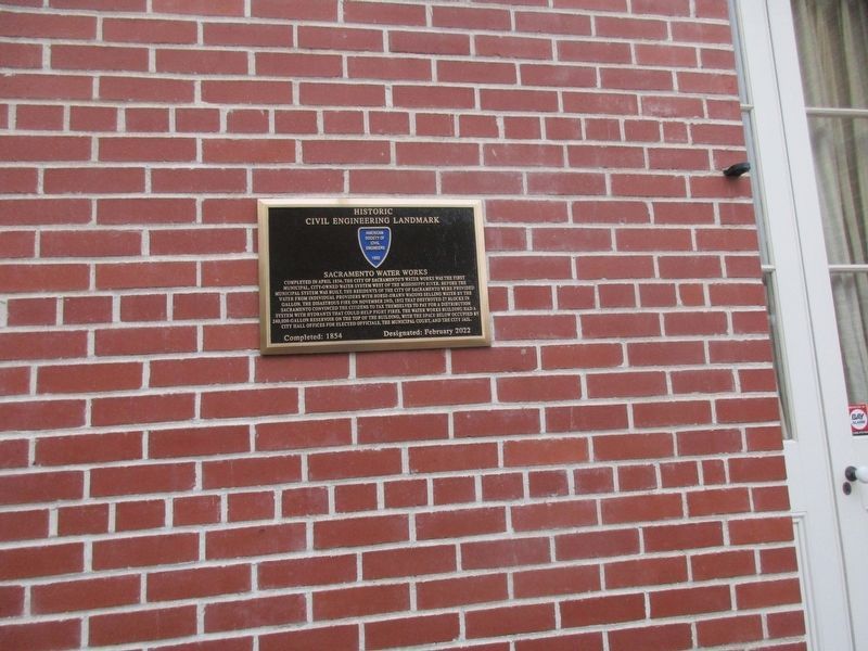
2. Sacramento Water Works Marker
Another marker is no longer nearby. Sacramento's Original Level (was about 300 feet away, measured in a direct line but has been permanently removed).
Photographed by Rev. Ronald Irick, May 4, 2023
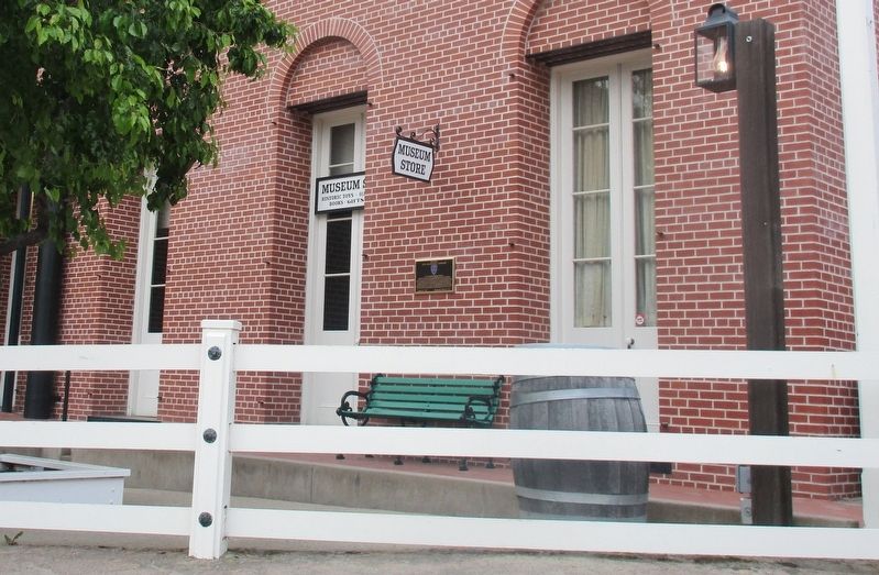
3. Sacramento Water Works Marker
Photographed by Rev. Ronald Irick, May 4, 2023
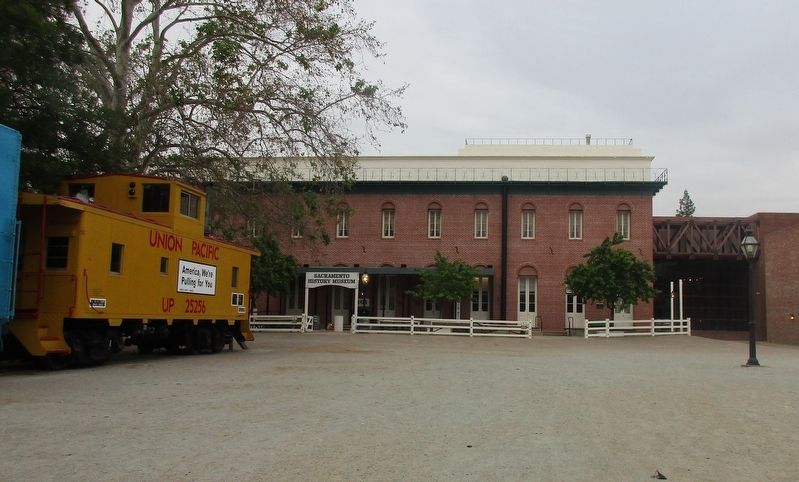
4. Sacramento Water Works Marker
Credits. This page was last revised on October 28, 2024. It was originally submitted on May 22, 2023, by Rev. Ronald Irick of West Liberty, Ohio. This page has been viewed 435 times since then and 55 times this year. Photos: 1, 2, 3, 4. submitted on May 22, 2023, by Rev. Ronald Irick of West Liberty, Ohio. • J. Makali Bruton was the editor who published this page.
