Chenault in Tignall in Lincoln County, Georgia — The American South (South Atlantic)
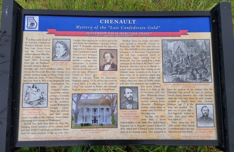
Chenault
Mystery of the "Lost Confederate Gold"
| — | Jefferson Davis Heritage Trail | — |
Photographed by Paul Liepe
1. Chenault Marker
Several days later, near dawn on May 3rd, President Davis, members of his cabinet, staff, and their 2,500 Confederate cavalrymen escort used the same pontoon bridge to cross into Georgia. After stopping for breakfast and to rest their horses the Confederacy's Secretary of State, Judah P. Benjamin, announced his departure. Disguised as a Frenchman with Confederate Colonel
this page online
President Davis, his family and others were captured in Irwinville, Georgia on Wednesday, May 10th. Two weeks later, on May 24th, $450,000 in silver and gold coins belonging to six Richmond, Virginia banks that had been temporarily stored in Washington began traveling back to Richmond. They were guarded by a small contingent of the Federal 4th Iowa Calvary Regiment. Accounts vary as to whether its wagon train stopped that evening at the Chenault homes or nearby at the home of Susan Moss. In an audacious attack near midnight former Confederate soldiers and various others stole $251,000, mostly gold coins. One participant later recalled that their service “entitled them to a share of this [Confederate] gold and silver.”
Photographed by Paul Liepe, March 4, 2022
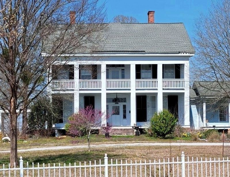
2. Chenault House, 1000 ft southwest of marker
In late July 1865, more than a dozen Federal soldiers in the 156th New York Infantry Regiment led by Brigadier General Edward A. Wild visited both Chenault homes looking for more of the missing money. They attempted to learn the location of the treasure that the Chenault’s had played no part in stealing. Female family members were strip searched while the men were hung by their thumbs, tortured at length. Mary Ann Chenault Shumate, age 17 at the time, later recalled, “The pain was so great that ... they begged the Yankees to shoot them dead rather than suffer so.”
Today there are still wild rumors about buried Confederate gold in the area. None has ever been found.
Erected by Georgia Civil War Heritage Trails, Inc.
Topics. This historical marker is listed in this topic list: War, US Civil. A significant historical date for this entry is May 3, 1865.
Location. 33° 54.474′ N, 82° 36.127′ W. Marker is in Tignall, Georgia, in Lincoln County. It is in Chenault. It is on Graball Road
Photographed by Paul Liepe, May 20, 2023
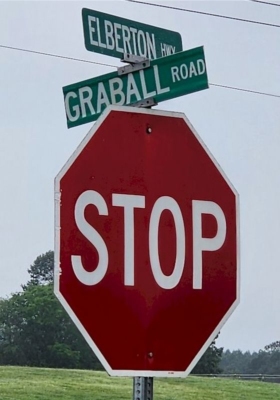
3. Street Signs

Regionally, this marker is in Georgia’s Piedmont. It is also in the American South and specifically in the Deep South. Globally, it is in North America, the Western Hemisphere, the Western World, and the Anglosphere. Historically, it finds itself in what was once the territory of the Mississippian Culture, one of the original Thirteen Colonies, one of the Confederate States of America, and the Antebellum South.
Other nearby markers. At least 8 other markers are within 8 miles of this marker, measured as the crow flies: The Village of Danburg (approx. 4 miles away); Hester's Ferry (approx. 4.6 miles away); Capture of Fort Charlotte (approx. 4.7 miles away in South Carolina); Bobby Brown State Park Monument (approx. 4.7 miles away); USS Scorpion (SS-278) (approx. 4.7 miles away); Pope’s Chapel United Methodist Church (approx. 6½ miles away); First Court North of Augusta (approx. 7 miles away); Fishing Creek Baptist Church (approx. 7.2 miles away). Touch for a list and map of all markers in Tignall.
Credits. This page was last revised on May 26, 2023. It was originally submitted on May 23, 2023, by Paul Liepe of Danville, Virginia. This page has been viewed 3,193 times since then and 482 times this year. Photos: 1, 2, 3. submitted on May 23, 2023, by Paul Liepe of Danville, Virginia. • Bernard Fisher was the editor who published this page.
