Alpine in Utah County, Utah — The American Mountains (Southwest)
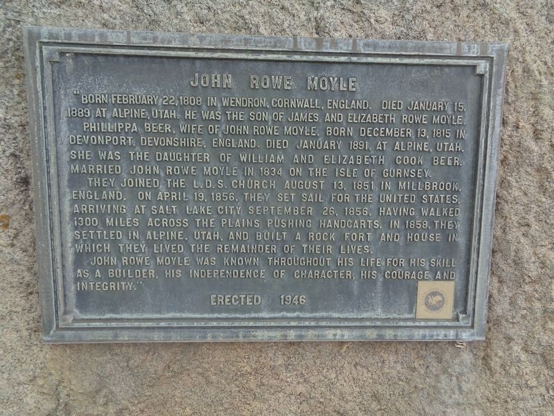
John Rowe Moyle
Phillippa Beer, wife of John Rowe Moyle. Born December 13, 1815 in Devonport, Devonshire, England. Died January 1891, at Alpine, Utah. She was the daughter of William and Elizabeth Cook Beer. Married John Rowe Moyle in 1834 on the Isle of Gurnsey.
They joined the L.D.S. Church August 13, 1851 in Millbrook, England. On April 19, 1856, they set sail for the United States, arriving at Salt Lake CIty September 26, 1856, having walked 1300 miles across the plains pushing handcarts. In 1858, they settled in Alpine, Utah and built a rock fort and house in which they lived the remainder of their lives.
John Rowe Moyle was known throughout his life for his skill as a builder, his independence of character, his courage and integrity.
Erected 1946.
Topics. This historical marker is listed in these topic lists: Cemeteries & Burial Sites • Churches & Religion • Immigration • Settlements & Settlers. A significant historical date for this entry is January 15, 1889.
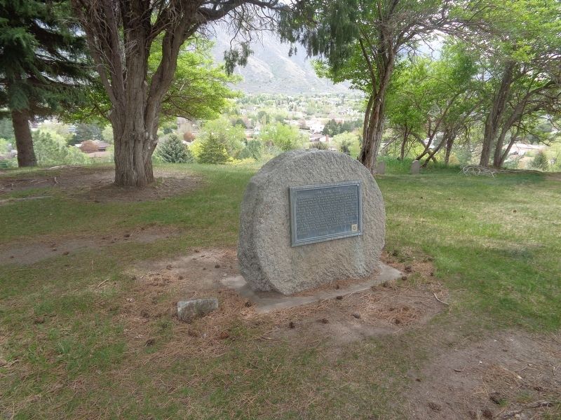
Location. 40° 27.555′ N, 111° 46.547′ W. Marker is in Alpine, Utah, in Utah County. Marker can be reached from Alpine City Cemetery Road west of Grove Drive. Marker is located at Alpine City Cemetery. Touch for map. Marker is at or near this postal address: 400 Grove Dr, Alpine UT 84004, United States of America. Touch for directions.
Other nearby markers. At least 8 other markers are within walking distance of this marker. Veterans Memorial (about 300 feet away, measured in a direct line); First Public Building - Alpine (about 700 feet away); The Old Red Schoolhouse 1899-1965 (approx. 0.2 miles away); Alpine (approx. 0.4 miles away); Alpine Pioneer Relic Hall (approx. 0.4 miles away); Alpine City Hall (approx. 0.4 miles away); Site of Two Alpine Churches (approx. 0.4 miles away); Fort Mountainville (approx. half a mile away). Touch for a list and map of all markers in Alpine.
Regarding John Rowe Moyle. To access the marker/grave: pull into Alpine City Cemetery. From the parking lot (where the Veterans Memorial and kiosk are located), take the one-lane road that goes up a hill and it will bring you to a small parking area. The marker/grave is located close to that area.
Credits. This page was last revised on May 23, 2023. It was originally submitted on May 23, 2023, by Jason Voigt of Glen Carbon, Illinois. This page has been viewed 183 times since then and 138 times this year. Photos: 1, 2. submitted on May 23, 2023, by Jason Voigt of Glen Carbon, Illinois.

