Sullivan's Island in Charleston County, South Carolina — The American South (South Atlantic)
US Coast Guard Historic District
Fort Sumter National Monumnet
Photographed by Dave W, May 20, 2023
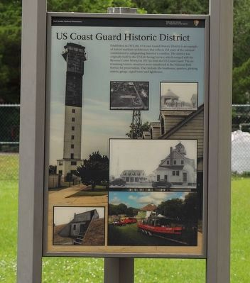
1. US Coast Guard Historic District Marker
Established in 1973, the US Coast Guard Historic District is an example of federal maritime architecture that reflects 113 years of the national commitment to safeguarding America’s coastline. The district was originally built by the US Life Saving Service, which merged with the Revenue Cutter Service in 1915 to form the US Coast Guard. The six remaining historic structures were transferred to the National Park Service for preservation. They include: the boathouse, quarters, plotting station, garage, signal tower and lighthouse.
Erected by National Park Service, United States Department of the Interior.
Topics and series. This historical marker is listed in these topic lists: Architecture • Disasters • Environment. In addition, it is included in the Lighthouses series list. A significant historical year for this entry is 1973.
Location. 32° 45.5′ N, 79° 50.585′ W. Marker is on Sullivan's Island, South Carolina, in Charleston County. It is on Flag Street. Touch for map. Marker is at or near this postal address: 1850 Flag St, Sullivans Island SC 29482, United States of America. Touch for directions.

Regionally,
this page online
Other nearby markers. At least 8 other markers are within walking distance of this marker: Charleston Light (here, next to this marker); Sullivan's Island Life-Saving Station (about 300 feet away, measured in a direct line); The Valor of Jimmie Dyess on Sullivan's Island and in Combat / The Remarkable Story of Jimmie Dyess (about 400 feet away); Fort Moultrie (about 800 feet away); Rear Gate & Second Post Chapel (approx. 0.2 miles away); Civilian Conservation Corps (approx. 0.2 miles away); Sergeant Jasper (approx. ¼ mile away); Parade Ground and Flagpole Area (approx. 0.4 miles away). Touch for a list and map of all markers in Sullivan's Island.
Photographed by Dave W, May 20, 2023
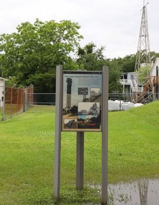
2. US Coast Guard Historic District Marker
Credits. This page was last revised on May 26, 2023. It was originally submitted on May 24, 2023, by Dave W of Co, Colorado. This page has been viewed 310 times since then and 24 times this year. Photos: 1, 2. submitted on May 24, 2023, by Dave W of Co, Colorado. • J. Makali Bruton was the editor who published this page.
